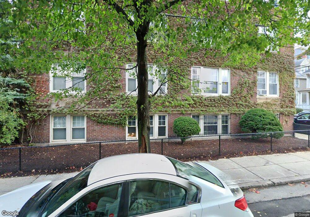
89 Chester St Unit 10 Allston, MA 02134
Allston NeighborhoodEstimated Value: $319,000 - $344,000
1
Bed
1
Bath
415
Sq Ft
$786/Sq Ft
Est. Value
About This Home
This home is located at 89 Chester St Unit 10, Allston, MA 02134 and is currently estimated at $326,342, approximately $786 per square foot. 89 Chester St Unit 10 is a home located in Suffolk County with nearby schools including Match Charter Public School, St Herman Of Alaska Christian School, and Boston University Academy.
Ownership History
Date
Name
Owned For
Owner Type
Purchase Details
Closed on
Aug 27, 2004
Sold by
Pickul Jeffrey M
Bought by
Koppel Jonathan and Koppel Gina
Current Estimated Value
Home Financials for this Owner
Home Financials are based on the most recent Mortgage that was taken out on this home.
Original Mortgage
$122,400
Outstanding Balance
$61,206
Interest Rate
6.02%
Mortgage Type
Purchase Money Mortgage
Estimated Equity
$265,136
Create a Home Valuation Report for This Property
The Home Valuation Report is an in-depth analysis detailing your home's value as well as a comparison with similar homes in the area
Home Values in the Area
Average Home Value in this Area
Purchase History
| Date | Buyer | Sale Price | Title Company |
|---|---|---|---|
| Koppel Jonathan | $153,000 | -- |
Source: Public Records
Mortgage History
| Date | Status | Borrower | Loan Amount |
|---|---|---|---|
| Open | Koppel Jonathan | $122,400 |
Source: Public Records
Tax History Compared to Growth
Tax History
| Year | Tax Paid | Tax Assessment Tax Assessment Total Assessment is a certain percentage of the fair market value that is determined by local assessors to be the total taxable value of land and additions on the property. | Land | Improvement |
|---|---|---|---|---|
| 2025 | $3,006 | $259,600 | $0 | $259,600 |
| 2024 | $3,392 | $311,200 | $0 | $311,200 |
| 2023 | $3,342 | $311,200 | $0 | $311,200 |
| 2022 | $3,194 | $293,600 | $0 | $293,600 |
| 2021 | $3,111 | $291,600 | $0 | $291,600 |
| 2020 | $2,465 | $233,400 | $0 | $233,400 |
| 2019 | $2,412 | $228,800 | $0 | $228,800 |
| 2018 | $2,242 | $213,900 | $0 | $213,900 |
| 2017 | $2,098 | $198,100 | $0 | $198,100 |
| 2016 | $2,000 | $181,800 | $0 | $181,800 |
| 2015 | $2,203 | $181,900 | $0 | $181,900 |
| 2014 | $2,079 | $165,300 | $0 | $165,300 |
Source: Public Records
Map
Nearby Homes
- 106 Chester St Unit 3
- 97 Chester St Unit 8
- 46 Pratt St
- 57 Brighton Ave Unit B
- 57 Brighton Ave Unit C
- 39 Chester St
- 1161 Commonwealth Ave Unit 1
- 1 Highgate St
- 4 Franklin St Unit 202
- 4 Franklin St Unit 401
- 4 Franklin St Unit 302
- 4 Franklin St Unit 403
- 21 Park Vale Ave Unit 2
- 30 Glenville Ave Unit 1
- 69 Quint Ave Unit 7
- 16 Royce Rd Unit 4
- 1269 Commonwealth Ave Unit 5
- 116 Thorndike St Unit 1
- 116 Thorndike St
- 116 Thorndike St Unit 2
- 97 Chester St Unit B3
- 89 Chester St Unit C1
- 89 Chester St Unit 5A
- 89 Chester St Unit 5C
- 89 Chester St Unit A5
- 89 Chester St Unit 11
- 93 Chester St Unit A
- 93 Chester St Unit 5
- 97 Chester St Unit B1
- 97 Chester St Unit 10
- 97 Chester St Unit 11
- 97 Chester St Unit 16
- 89 Chester St Unit 2
- 89 Chester St Unit 9
- 89 Chester St Unit 8
- 89 Chester St Unit 7
- 89 Chester St Unit 6
- 89 Chester St Unit 4
- 89 Chester St Unit A1
- 89 Chester St Unit C