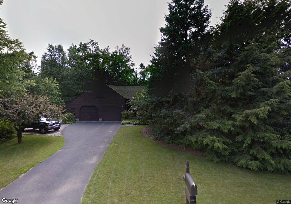
89 Colony Cir Westfield, MA 01085
Estimated Value: $424,000 - $485,000
3
Beds
3
Baths
1,952
Sq Ft
$239/Sq Ft
Est. Value
About This Home
This home is located at 89 Colony Cir, Westfield, MA 01085 and is currently estimated at $465,569, approximately $238 per square foot. 89 Colony Cir is a home located in Hampden County with nearby schools including Westfield High School.
Ownership History
Date
Name
Owned For
Owner Type
Purchase Details
Closed on
Jan 25, 2022
Sold by
Walachy Michael P and Walachy Mary E
Bought by
Michael Walachy Ret
Current Estimated Value
Purchase Details
Closed on
May 16, 1980
Bought by
Walachy Michael P and Walachy Mary E
Create a Home Valuation Report for This Property
The Home Valuation Report is an in-depth analysis detailing your home's value as well as a comparison with similar homes in the area
Home Values in the Area
Average Home Value in this Area
Purchase History
| Date | Buyer | Sale Price | Title Company |
|---|---|---|---|
| Michael Walachy Ret | -- | None Available | |
| Walachy Michael P | -- | -- |
Source: Public Records
Mortgage History
| Date | Status | Borrower | Loan Amount |
|---|---|---|---|
| Previous Owner | Walachy Michael P | $40,000 | |
| Previous Owner | Walachy Michael P | $40,000 | |
| Previous Owner | Walachy Michael P | $30,000 |
Source: Public Records
Tax History Compared to Growth
Tax History
| Year | Tax Paid | Tax Assessment Tax Assessment Total Assessment is a certain percentage of the fair market value that is determined by local assessors to be the total taxable value of land and additions on the property. | Land | Improvement |
|---|---|---|---|---|
| 2025 | $5,879 | $387,300 | $137,000 | $250,300 |
| 2024 | $5,877 | $368,000 | $124,500 | $243,500 |
| 2023 | $5,632 | $344,700 | $118,300 | $226,400 |
| 2022 | $5,632 | $304,600 | $105,400 | $199,200 |
| 2021 | $5,466 | $289,500 | $99,900 | $189,600 |
| 2020 | $5,432 | $282,200 | $99,900 | $182,300 |
| 2019 | $5,305 | $269,700 | $94,900 | $174,800 |
| 2018 | $5,221 | $269,700 | $94,900 | $174,800 |
| 2017 | $5,113 | $263,300 | $96,000 | $167,300 |
| 2016 | $5,119 | $263,300 | $96,000 | $167,300 |
| 2015 | $4,809 | $259,400 | $96,000 | $163,400 |
| 2014 | $3,598 | $259,400 | $96,000 | $163,400 |
Source: Public Records
Map
Nearby Homes
- 1037 Shaker Rd
- 161 Wildflower Cir
- 901 Shaker Rd
- 404 Southwick Rd Unit 34A
- 91 Squawfield Rd
- 323 Southwick Rd
- 70-74 S Maple St
- 82 S Maple St Unit 33
- 48 Pleasant St
- 86 Beveridge Blvd
- 30 Cross St
- 419 Southwick Rd Unit P64
- 16 Yale St
- 160 Hillside Rd Unit 5
- 32 Noble Ave
- 57 Falley Dr
- 22 Rosewood Ln
- 16 Locust St
- 10 Mckinley Terrace
- 76 Shaker Rd