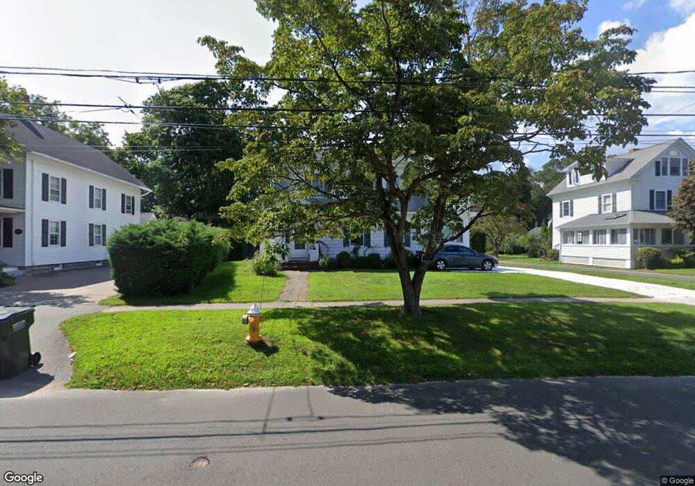
89 Commerce St Clinton, CT 06413
Estimated Value: $581,534 - $702,000
4
Beds
2
Baths
2,072
Sq Ft
$320/Sq Ft
Est. Value
About This Home
This home is located at 89 Commerce St, Clinton, CT 06413 and is currently estimated at $663,134, approximately $320 per square foot. 89 Commerce St is a home located in Middlesex County with nearby schools including Lewin G. Joel Jr. School, The Morgan School, and Our Lady of Mercy Preparatory Academy.
Ownership History
Date
Name
Owned For
Owner Type
Purchase Details
Closed on
Aug 26, 2024
Sold by
Foley Benjamin
Bought by
J Foley White Star T M
Current Estimated Value
Purchase Details
Closed on
May 13, 2021
Sold by
Wohlke Regina and Jackson Catherine
Bought by
Foley Benjamin
Purchase Details
Closed on
Jan 21, 2010
Sold by
Robbins Catherine
Bought by
Wohlke Regina and Jackson Catherine
Create a Home Valuation Report for This Property
The Home Valuation Report is an in-depth analysis detailing your home's value as well as a comparison with similar homes in the area
Home Values in the Area
Average Home Value in this Area
Purchase History
| Date | Buyer | Sale Price | Title Company |
|---|---|---|---|
| J Foley White Star T M | -- | None Available | |
| J Foley White Star T M | -- | None Available | |
| Foley Benjamin | $406,000 | None Available | |
| Foley Benjamin | $406,000 | None Available | |
| Foley Benjamin | $406,000 | None Available | |
| Wohlke Regina | -- | -- | |
| Wohlke Regina | -- | -- |
Source: Public Records
Tax History
| Year | Tax Paid | Tax Assessment Tax Assessment Total Assessment is a certain percentage of the fair market value that is determined by local assessors to be the total taxable value of land and additions on the property. | Land | Improvement |
|---|---|---|---|---|
| 2025 | $7,598 | $244,000 | $133,900 | $110,100 |
| 2024 | $7,350 | $242,900 | $133,900 | $109,000 |
| 2023 | $7,246 | $242,900 | $133,900 | $109,000 |
| 2022 | $7,246 | $242,900 | $133,900 | $109,000 |
| 2021 | $6,217 | $208,400 | $104,300 | $104,100 |
| 2020 | $6,513 | $208,400 | $104,300 | $104,100 |
| 2019 | $6,513 | $208,400 | $104,300 | $104,100 |
| 2018 | $6,365 | $208,400 | $104,300 | $104,100 |
| 2017 | $6,233 | $208,400 | $104,300 | $104,100 |
| 2016 | $5,656 | $208,400 | $104,300 | $104,100 |
| 2015 | $5,458 | $203,900 | $75,800 | $128,100 |
| 2014 | $5,356 | $203,900 | $75,800 | $128,100 |
Source: Public Records
Map
Nearby Homes
- 116 Commerce St Unit F-9
- 0 Cow Hill Rd
- 64 W Main St
- 13 Waterside Ln
- 110 E Main St
- 27 College St Unit 4
- 16 Silverbrook Ln
- 133 W Main St Unit MV1
- 133 W Main St Unit TRLR A9
- 151 E Main St Unit 12
- 153 E Main St Unit 10
- 153 E Main St Unit 13
- 153 E Main St Unit 31
- 153 E Main St Unit 8
- 153 E Main St Unit 9
- 153 E Main St Unit 6
- 153 E Main St Unit 7
- 153 E Main St Unit 11
- 153 E Main St Unit 32
- 153 E Main St Unit 5
- 91 Commerce St
- 85 Commerce St
- 81 Commerce St
- 81 Commerce St Unit Rear
- 81 Commerce St Unit 2
- 81 Commerce St Unit 1
- 97 Commerce St
- 97 Commerce St Unit 2
- 92 Grove St
- 2 Mohawk Dr
- 77 Commerce St
- 96 Grove St
- 88 c Grove St Unit 88-c
- 101 Commerce St
- 1 Iroquois Dr
- 98 Grove St
- 1 Mohawk Dr
- 86 Grove St
- 100 Grove St
- 88 Grove St Unit D
Your Personal Tour Guide
Ask me questions while you tour the home.