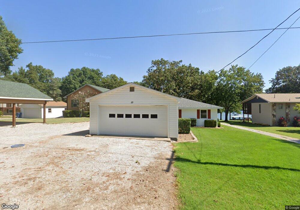
89 Coney Dr Branson West, MO 65737
Estimated Value: $190,549 - $376,000
2
Beds
1
Bath
1,400
Sq Ft
$221/Sq Ft
Est. Value
About This Home
This home is located at 89 Coney Dr, Branson West, MO 65737 and is currently estimated at $309,137, approximately $220 per square foot. 89 Coney Dr is a home located in Stone County with nearby schools including Reeds Spring Primary School, Reeds Spring Elementary School, and Reeds Spring Middle School.
Ownership History
Date
Name
Owned For
Owner Type
Purchase Details
Closed on
Dec 29, 2025
Sold by
Taylor David and Taylor Karen
Bought by
David P Taylor And Karen E Taylor Joint Revoc and Taylor
Current Estimated Value
Purchase Details
Closed on
Jun 5, 2025
Sold by
Revocable Living Trust Agreement Of Geor and Wilkie George Archie
Bought by
Taylor David and Taylor Karen
Purchase Details
Closed on
Apr 8, 2013
Sold by
Greenough Keith A and Greenough Martha E
Bought by
Neff Sylvia A and Wilkie George A
Create a Home Valuation Report for This Property
The Home Valuation Report is an in-depth analysis detailing your home's value as well as a comparison with similar homes in the area
Home Values in the Area
Average Home Value in this Area
Purchase History
| Date | Buyer | Sale Price | Title Company |
|---|---|---|---|
| David P Taylor And Karen E Taylor Joint Revoc | -- | None Listed On Document | |
| Taylor David | -- | None Listed On Document | |
| Neff Sylvia A | -- | Hogan Land Title |
Source: Public Records
Tax History
| Year | Tax Paid | Tax Assessment Tax Assessment Total Assessment is a certain percentage of the fair market value that is determined by local assessors to be the total taxable value of land and additions on the property. | Land | Improvement |
|---|---|---|---|---|
| 2025 | $664 | $13,550 | -- | -- |
| 2024 | $663 | $13,550 | -- | -- |
| 2023 | $663 | $13,550 | -- | -- |
| 2022 | $659 | $13,550 | $0 | $0 |
| 2021 | $667 | $13,550 | $0 | $0 |
| 2020 | $588 | $13,550 | $0 | $0 |
| 2019 | $584 | $13,550 | $0 | $0 |
| 2018 | $583 | $13,550 | $0 | $0 |
| 2017 | $584 | $13,550 | $0 | $0 |
| 2016 | $568 | $13,550 | $0 | $0 |
| 2015 | $569 | $13,550 | $0 | $0 |
| 2014 | $556 | $13,550 | $0 | $0 |
| 2012 | $557 | $13,450 | $0 | $0 |
Source: Public Records
Map
Nearby Homes
- Tbd Lovers Ln
- 342 Foxtrail Dr
- 000 White Rockbluff
- 55 Lovers Ln
- 25 Trade Winds Ln
- 6089 State Highway Dd Unit 103
- 6089 State Hwy Dd #204 Rd
- Tbd Cool Creek Rd
- 1403 Rocky Shore Terrace
- 1307 Rocky Shore Terrace
- 1302 Rocky Shore Terrace
- 1404 Rocky Shore Terrace
- 1304 Rocky Shore Terrace
- 1303 Rocky Shore Terrace Unit 3
- 120 Mocking Jay Ln Unit 119
- 120 Mocking Jay Ln Unit 120
- 86 Rasso Way Unit 78
- 86 Rasso Way Unit 79
- 707 Rocky Shore Terrace Unit 7
- 55 Ozark Vista Dr Unit E136
Your Personal Tour Guide
Ask me questions while you tour the home.