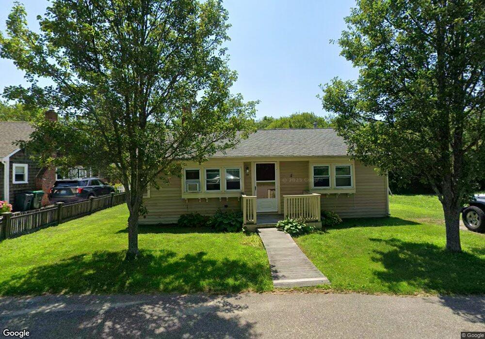
89 Constitution Rd Marshfield, MA 02050
Ocean Bluff-Brant Rock NeighborhoodEstimated Value: $450,000
2
Beds
1
Bath
816
Sq Ft
$551/Sq Ft
Est. Value
About This Home
This home is located at 89 Constitution Rd, Marshfield, MA 02050 and is currently priced at $450,000, approximately $551 per square foot. 89 Constitution Rd is a home located in Plymouth County with nearby schools including Daniel Webster, Furnace Brook Middle School, and Marshfield High School.
Ownership History
Date
Name
Owned For
Owner Type
Purchase Details
Closed on
May 25, 2021
Sold by
89 Constitution Road Rt
Bought by
Carlo David G and Carlo Marie E
Current Estimated Value
Home Financials for this Owner
Home Financials are based on the most recent Mortgage that was taken out on this home.
Original Mortgage
$305,550
Outstanding Balance
$277,492
Interest Rate
3.1%
Mortgage Type
Purchase Money Mortgage
Purchase Details
Closed on
Jun 5, 2019
Sold by
Verry George H
Bought by
Verry Loring T and Verry Kathleen A
Purchase Details
Closed on
Aug 21, 2018
Sold by
Verry Loring T and Verry Kathleen A
Bought by
89 Constitution Road Rt
Create a Home Valuation Report for This Property
The Home Valuation Report is an in-depth analysis detailing your home's value as well as a comparison with similar homes in the area
Home Values in the Area
Average Home Value in this Area
Purchase History
| Date | Buyer | Sale Price | Title Company |
|---|---|---|---|
| Carlo David G | $315,000 | None Available | |
| Verry Loring T | -- | -- | |
| 89 Constitution Road Rt | -- | -- | |
| 89 Constitution Road Rt | -- | -- |
Source: Public Records
Mortgage History
| Date | Status | Borrower | Loan Amount |
|---|---|---|---|
| Open | Carlo David G | $305,550 |
Source: Public Records
Tax History
| Year | Tax Paid | Tax Assessment Tax Assessment Total Assessment is a certain percentage of the fair market value that is determined by local assessors to be the total taxable value of land and additions on the property. | Land | Improvement |
|---|---|---|---|---|
| 2022 | $2,251 | $332,200 | $228,400 | $103,800 |
| 2021 | $4,146 | $314,300 | $218,400 | $95,900 |
| 2020 | $3,744 | $282,700 | $188,600 | $94,100 |
| 2019 | $3,741 | $273,100 | $188,600 | $84,500 |
| 2018 | $3,615 | $270,400 | $188,600 | $81,800 |
| 2017 | $3,507 | $255,600 | $178,700 | $76,900 |
| 2016 | $3,313 | $238,700 | $168,800 | $69,900 |
| 2015 | $3,102 | $233,400 | $168,800 | $64,600 |
| 2014 | $3,057 | $230,000 | $168,800 | $61,200 |
Source: Public Records
Map
Nearby Homes
- 85 Constitution Rd
- 86 Nevada St
- 74 Nevada St
- 75 Constitution Rd
- 82 Constitution Rd
- 106 Constellation Rd
- 77 Nevada St
- 81 Constellation Rd
- 81 Nevada St
- 73 Nevada St
- 71 Constitution Rd
- 85 Nevada St
- 69 Nevada St
- 96 Nevada St
- 102 Nevada St
- 60 Nevada St
- 89 Nevada St
- 90 Monitor Rd
- 65 Nevada St
- 71 Constellation Rd
Your Personal Tour Guide
Ask me questions while you tour the home.