89 Dalton Dr Dillard, GA 30537
Estimated Value: $589,243 - $794,000
About This Home
This home is located at 89 Dalton Dr, Dillard, GA 30537 and is currently estimated at $686,061, approximately $197 per square foot. 89 Dalton Dr is a home located in Rabun County with nearby schools including Rabun County Primary School and Rabun County High School.
Ownership History
We collect this data history from publicly available records. To have your information removed, we recommend requesting removal directly through your county’s website.
Purchase Details
Home Financials for this Owner
Home Financials are based on the most recent Mortgage that was taken out on this home.Purchase Details
Home Financials for this Owner
Home Financials are based on the most recent Mortgage that was taken out on this home.Purchase Details
Purchase Details
Purchase Details
Purchase Details
Home Values in the Area
Average Home Value in this Area
Purchase History
We collect this data history from publicly available records. To have your information removed, we recommend requesting removal directly through your county’s website.
| Date | Buyer | Sale Price | Title Company |
|---|---|---|---|
| $509,000 | -- | ||
| $509,000 | -- | ||
| $383,333 | -- | ||
| $383,333 | -- | ||
| $25,000 | -- | ||
| $25,000 | -- | ||
| $17,000 | -- | ||
| $17,000 | -- | ||
| $5,000 | -- | ||
| $5,000 | -- | ||
| $5,000 | -- | ||
| $5,000 | -- |
Mortgage History
We collect this data history from publicly available records. To have your information removed, we recommend requesting removal directly through your county’s website.
| Date | Status | Borrower | Loan Amount |
|---|---|---|---|
| Open | $407,200 | ||
| Closed | $407,200 | ||
| Previous Owner | $344,999 |
Tax History
We collect this data history from publicly available records. To have your information removed, we recommend requesting removal directly through your county’s website.
| Year | Tax Paid | Tax Assessment Tax Assessment Total Assessment is a certain percentage of the fair market value that is determined by local assessors to be the total taxable value of land and additions on the property. | Land | Improvement |
|---|---|---|---|---|
| 2025 | $3,440 | $224,349 | $20,000 | $204,349 |
| 2024 | $3,331 | $209,518 | $20,000 | $189,518 |
| 2023 | $3,275 | $180,923 | $20,000 | $160,923 |
| 2022 | $3,176 | $175,506 | $20,000 | $155,506 |
| 2021 | $2,955 | $157,601 | $20,000 | $137,601 |
| 2020 | $2,701 | $139,238 | $20,000 | $119,238 |
| 2019 | $2,720 | $139,238 | $20,000 | $119,238 |
| 2018 | $2,730 | $139,238 | $20,000 | $119,238 |
| 2017 | $2,618 | $139,238 | $20,000 | $119,238 |
| 2016 | $2,625 | $139,238 | $20,000 | $119,238 |
| 2015 | $2,671 | $138,698 | $20,000 | $118,698 |
| 2014 | $2,685 | $138,698 | $20,000 | $118,698 |
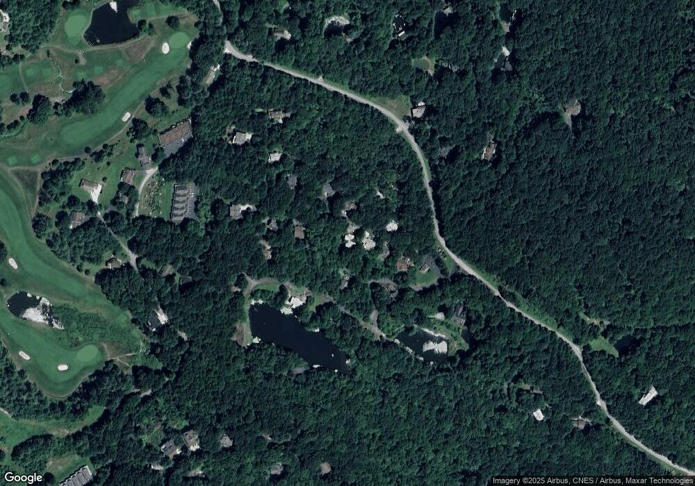
Map
- 115 Broadmoor Ln
- 115 Dam Lake Dr
- 0 Bald Mountain Rd Unit 55,57
- 0 Thunderhead Ln Unit 10734276
- 0 Thunderhead Ln Unit 10732244
- 559 Maple Leaf Dr
- 0 Driver Ln Unit 10777365
- 0 Maple Leaf Unit TRACT 6 10609401
- 70 Fairway Ln
- 63 Mashie Ln
- 767 Driver Ln
- 3 Berkshire Ln Unit 3
- 70 Spy Glass Cir
- 0 Honey Bear Ln Unit 10595313
- (0) Honey Bear Ln
- 0 LOT 14 & 15 Honey Bear Ln
- 0 LOT 10 & 11 Honey Bear Ln Unit LOT 10 & 11
- 3315 Bald Mountain Rd
- 594 Sky High Dr
- 156 Tahoe Ln
- 77 Dalton Dr
- 0 Haystack Dr Unit LOT 4 10087764
- 0 Haystack Dr Unit LOT 4 20019159
- 0 Haystack Dr Unit LOT 4 9025571
- 0 Haystack Dr Unit 2 8479259
- 4 Haystack Dr
- 59 Dalton Dr
- 96 Dalton Dr
- 96 Dalton Dr
- 96 Dalton Dr Unit 11
- 17 Haystack Dr
- 52 Dalton Dr
- 52 Dalton Dr Unit 12,13
- 52 Dalton Dr
- 117 Dalton Dr
- 142 Dalton Dr Unit 10
- 142 Dalton Dr
- 324 Dalton Dr
- 142 Dalton Dr Unit 10
- 142 Dalton Dr
Ask me questions while you tour the home.