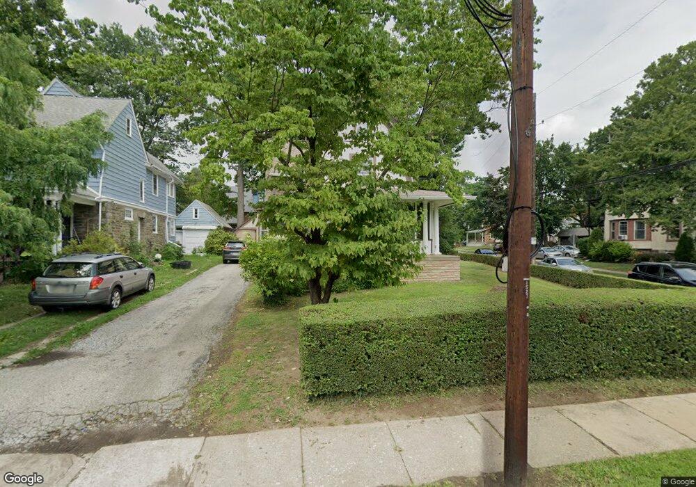
89 E Stewart Ave Lansdowne, PA 19050
Estimated Value: $333,000 - $416,000
4
Beds
2
Baths
2,611
Sq Ft
$140/Sq Ft
Est. Value
About This Home
This home is located at 89 E Stewart Ave, Lansdowne, PA 19050 and is currently estimated at $366,302, approximately $140 per square foot. 89 E Stewart Ave is a home located in Delaware County with nearby schools including East Lansdowne Elementary School, Penn Wood Middle School, and Penn Wood High School - Cypress Street Campus.
Ownership History
Date
Name
Owned For
Owner Type
Purchase Details
Closed on
Aug 25, 2015
Sold by
Johnson Perry and Johnson Perry N
Bought by
Johnson Perry N and Johnson Melinda J
Current Estimated Value
Purchase Details
Closed on
Jun 22, 2001
Sold by
Ferry Charles E and Ferry Gertrude
Bought by
Johnson Perry
Home Financials for this Owner
Home Financials are based on the most recent Mortgage that was taken out on this home.
Original Mortgage
$130,450
Outstanding Balance
$49,909
Interest Rate
7.2%
Mortgage Type
FHA
Estimated Equity
$316,393
Create a Home Valuation Report for This Property
The Home Valuation Report is an in-depth analysis detailing your home's value as well as a comparison with similar homes in the area
Home Values in the Area
Average Home Value in this Area
Purchase History
| Date | Buyer | Sale Price | Title Company |
|---|---|---|---|
| Johnson Perry N | -- | Attorney | |
| Johnson Perry | $131,500 | Stewart Title Guaranty Compa |
Source: Public Records
Mortgage History
| Date | Status | Borrower | Loan Amount |
|---|---|---|---|
| Open | Johnson Perry | $130,450 |
Source: Public Records
Tax History
| Year | Tax Paid | Tax Assessment Tax Assessment Total Assessment is a certain percentage of the fair market value that is determined by local assessors to be the total taxable value of land and additions on the property. | Land | Improvement |
|---|---|---|---|---|
| 2025 | $7,013 | $170,340 | $39,650 | $130,690 |
| 2024 | $7,013 | $170,340 | $39,650 | $130,690 |
| 2023 | $6,686 | $170,340 | $39,650 | $130,690 |
| 2022 | $6,555 | $170,340 | $39,650 | $130,690 |
| 2021 | $9,843 | $170,340 | $39,650 | $130,690 |
| 2020 | $5,422 | $82,680 | $25,950 | $56,730 |
| 2019 | $5,331 | $82,680 | $25,950 | $56,730 |
| 2018 | $5,240 | $82,680 | $0 | $0 |
| 2017 | $5,124 | $82,680 | $0 | $0 |
| 2016 | $454 | $82,680 | $0 | $0 |
| 2015 | $454 | $82,680 | $0 | $0 |
| 2014 | $454 | $82,680 | $0 | $0 |
Source: Public Records
Map
Nearby Homes
- 56 E Stewart Ave
- 32 N Wycombe Ave
- 113 A A000 N Union Ave
- 81 Hartley Rd
- 29 W Stratford Ave
- 69 Owen Ave
- 86 Houston Rd
- 230 Wynnewood Ave
- 217 E Greenwood Ave
- 25 Madison Ave
- 178 N Union Ave
- 46 S Maple Ave
- 105 Nyack Ave
- 210 Wabash Ave
- 212 N Maple Ave
- 0 Hirst Ave
- 116 Bartram Ave
- 22 Lexington Ave
- 80 W Baltimore Ave Unit C607
- 80 W Baltimore Ave Unit B607
- 87 E Stewart Ave
- 91 E Stewart Ave
- 85 E Stewart Ave
- 80 Price Ave
- 100 N Wycombe Ave
- 93 E Stewart Ave
- 93 E Stewart Ave Unit A
- 78 Price Ave
- 95 E Stewart Ave
- 86 E Stewart Ave
- 82 E Stewart Ave
- 97 E Stewart Ave
- 88 E Stewart Ave
- 96 Mckinley Ave Unit 1ST FL
- 96 Mckinley Ave Unit 2ND FL
- 96 Mckinley Ave
- 66 Price Ave
- 90 E Stewart Ave
- 78 E Stewart Ave
- 112 N Wycombe Ave
Your Personal Tour Guide
Ask me questions while you tour the home.