89 Elkins Branch Rd Weaverville, NC 28787
Estimated Value: $578,000 - $957,000
4
Beds
3
Baths
2,568
Sq Ft
$285/Sq Ft
Est. Value
About This Home
This home is located at 89 Elkins Branch Rd, Weaverville, NC 28787 and is currently estimated at $730,837, approximately $284 per square foot. 89 Elkins Branch Rd is a home with nearby schools including Barnardsville Elementary School, North Windy Ridge School, and North Buncombe Middle.
Ownership History
Date
Name
Owned For
Owner Type
Purchase Details
Closed on
Jun 26, 2024
Sold by
Murray Michael L
Bought by
Murray Michael L and Murray Carmen F
Current Estimated Value
Purchase Details
Closed on
Jun 20, 2024
Sold by
Murray Nellie Gail and Ledford Nellie Gail
Bought by
Murray Michael L
Purchase Details
Closed on
Jun 26, 2018
Sold by
Murray Gail L and Murray Billy Bruce
Bought by
Murray Gail L and Gail L Murrray Revocable Trust
Create a Home Valuation Report for This Property
The Home Valuation Report is an in-depth analysis detailing your home's value as well as a comparison with similar homes in the area
Home Values in the Area
Average Home Value in this Area
Purchase History
| Date | Buyer | Sale Price | Title Company |
|---|---|---|---|
| Murray Michael L | -- | None Listed On Document | |
| Murray Michael L | -- | None Listed On Document | |
| Murray Michael L | -- | None Listed On Document | |
| Murray Michael L | -- | None Listed On Document | |
| Murray Gail L | -- | None Available |
Source: Public Records
Tax History Compared to Growth
Tax History
| Year | Tax Paid | Tax Assessment Tax Assessment Total Assessment is a certain percentage of the fair market value that is determined by local assessors to be the total taxable value of land and additions on the property. | Land | Improvement |
|---|---|---|---|---|
| 2025 | $3,045 | $412,800 | $25,100 | $387,700 |
| 2024 | $3,045 | $412,800 | $40,100 | $372,700 |
| 2023 | $3,045 | $412,800 | $40,100 | $372,700 |
| 2022 | $2,923 | $412,800 | $0 | $0 |
| 2021 | $2,840 | $412,800 | $0 | $0 |
| 2020 | $2,243 | $307,700 | $0 | $0 |
| 2019 | $2,243 | $307,700 | $0 | $0 |
| 2018 | $2,243 | $307,700 | $0 | $0 |
| 2017 | $2,151 | $281,900 | $0 | $0 |
| 2016 | $2,126 | $281,900 | $0 | $0 |
| 2015 | $2,126 | $281,900 | $0 | $0 |
| 2014 | $2,126 | $281,900 | $0 | $0 |
Source: Public Records
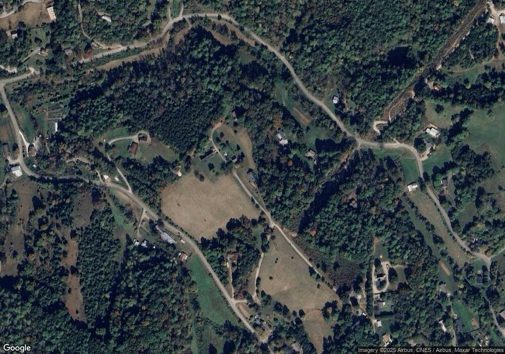
Map
Nearby Homes
- 25 Elkins Branch Rd Unit 1
- 40 Chambers Dr
- 36 Stockton Branch Rd
- 26 Willie Ln
- 15 Vision Hill Dr
- 62 Ebb Burnette Rd
- 55 Withers Ln
- 7 and 11 Dalph Dr
- 99999 Ivywood Rd
- 0 Old Burnsville Rd
- 136 Locust Grove Rd
- 63 Ivy Meadows Dr Unit 21
- 99999 McDaris Rd
- 120 Wilderness Dr
- 125 Ivy Meadows Dr
- 99999 -2 Barnardsville Hwy
- 99999 Barnardsville Hwy Unit 121
- 99999 Barnardsville Hwy
- 181 Flint Morgan Rd
- 31 Jupiter Rd
- 175 Stockton Branch Rd
- 78 Elkins Branch Rd
- 69 Elkins Branch Rd
- 181 Stockton Branch Rd
- 166 Stockton Branch Rd
- 50 Elkins Branch Rd
- 170 Stockton Branch Rd
- 000 Sun Dog Dr
- 99999 Elkins Branch Rd
- 44 Good Neighbor Ridge
- 200 Stockton Branch Rd
- 110 Stockton Branch Rd
- 40 Elkins Branch Rd
- 114 Elkins Branch Rd
- 35 Good Neighbor Ridge
- 210 Stockton Branch Rd
- 109 Elkins Branch Rd
- 25 Good Neighbor Ridge
- 15 Bass Acres Dr
- 32 Sun Dog Dr