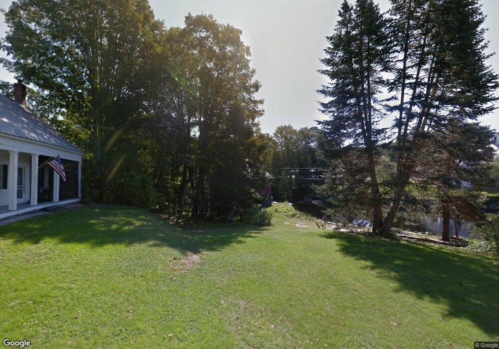
89 Elm St West Newfield, ME 04095
Newfield NeighborhoodEstimated Value: $340,270 - $469,000
--
Bed
--
Bath
--
Sq Ft
1.95
Acres
About This Home
This home is located at 89 Elm St, West Newfield, ME 04095 and is currently estimated at $388,318. 89 Elm St is a home with nearby schools including Massabesic High School.
Create a Home Valuation Report for This Property
The Home Valuation Report is an in-depth analysis detailing your home's value as well as a comparison with similar homes in the area
Home Values in the Area
Average Home Value in this Area
Tax History Compared to Growth
Tax History
| Year | Tax Paid | Tax Assessment Tax Assessment Total Assessment is a certain percentage of the fair market value that is determined by local assessors to be the total taxable value of land and additions on the property. | Land | Improvement |
|---|---|---|---|---|
| 2025 | $3,053 | $247,400 | $66,000 | $181,400 |
| 2024 | $2,919 | $247,400 | $66,000 | $181,400 |
| 2023 | $2,702 | $247,400 | $66,000 | $181,400 |
| 2022 | $2,415 | $247,400 | $66,000 | $181,400 |
| 2021 | $2,252 | $197,900 | $52,800 | $145,100 |
| 2020 | $2,666 | $197,900 | $52,800 | $145,100 |
| 2019 | $2,205 | $197,900 | $52,800 | $145,100 |
| 2018 | $673 | $197,900 | $52,800 | $145,100 |
| 2017 | $658 | $197,900 | $52,800 | $145,100 |
| 2016 | $2,153 | $197,900 | $52,800 | $145,100 |
| 2015 | $1,928 | $197,900 | $52,800 | $145,100 |
| 2014 | $2,028 | $218,100 | $63,000 | $155,100 |
| 2013 | $1,963 | $218,100 | $63,000 | $155,100 |
Source: Public Records
Map
Nearby Homes
- 48 Elm St
- 360 Bridge St
- 44 Carroll Pit Rd
- 223 Bridge St
- 154 Staples Rd
- Lot 3C Bridge St
- 00 Bridge St
- 11 Symmes Dr
- 91 Patterson Rd
- 515 Range East Rd
- 38-25.2 0 Row Mowry Ln
- 0 Stone Hill Rd
- 545 Foss Rd
- 282 Granny Kent Pond Rd
- 585 Newfield Rd
- 590 Newfield Rd
- 164 Granny Kent Pond Rd
- 220 Bond Spring Rd
- 00 Carter Ln
- 570 Maplewood Rd