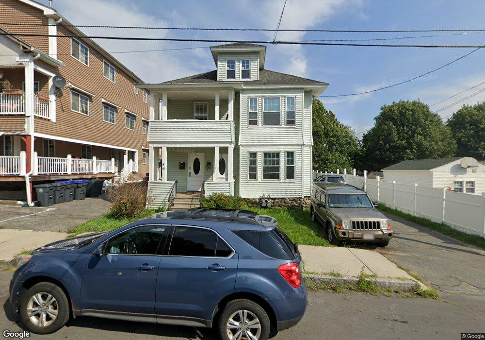
89 Elmwood Rd Unit 91 Methuen, MA 01844
The East End NeighborhoodEstimated Value: $674,902 - $831,000
6
Beds
2
Baths
2,800
Sq Ft
$268/Sq Ft
Est. Value
About This Home
This home is located at 89 Elmwood Rd Unit 91, Methuen, MA 01844 and is currently estimated at $750,476, approximately $268 per square foot. 89 Elmwood Rd Unit 91 is a home located in Essex County with nearby schools including Timony Grammar School, South Point Elementary School, and Methuen High School.
Ownership History
Date
Name
Owned For
Owner Type
Purchase Details
Closed on
May 12, 2020
Sold by
Whalley Irt and Byron
Bought by
Byron Rt and Byron
Current Estimated Value
Purchase Details
Closed on
Nov 18, 2013
Sold by
W P Whalley Rt and Whalley
Bought by
Byron Irt and Byron
Purchase Details
Closed on
May 1, 1974
Bought by
Byron Irt
Create a Home Valuation Report for This Property
The Home Valuation Report is an in-depth analysis detailing your home's value as well as a comparison with similar homes in the area
Home Values in the Area
Average Home Value in this Area
Purchase History
| Date | Buyer | Sale Price | Title Company |
|---|---|---|---|
| Byron Rt | -- | None Available | |
| Byron Rt | -- | None Available | |
| Byron Rt | -- | None Available | |
| Byron Irt | -- | -- | |
| Byron Irt | -- | -- | |
| Byron Irt | -- | -- |
Source: Public Records
Tax History Compared to Growth
Tax History
| Year | Tax Paid | Tax Assessment Tax Assessment Total Assessment is a certain percentage of the fair market value that is determined by local assessors to be the total taxable value of land and additions on the property. | Land | Improvement |
|---|---|---|---|---|
| 2025 | $7,154 | $676,200 | $188,500 | $487,700 |
| 2024 | $6,490 | $597,600 | $169,000 | $428,600 |
| 2023 | $6,346 | $542,400 | $149,500 | $392,900 |
| 2022 | $5,664 | $434,000 | $117,000 | $317,000 |
| 2021 | $5,416 | $410,600 | $110,500 | $300,100 |
| 2020 | $5,091 | $378,800 | $104,000 | $274,800 |
| 2019 | $4,657 | $328,200 | $97,500 | $230,700 |
| 2018 | $4,395 | $308,000 | $97,500 | $210,500 |
| 2017 | $4,219 | $288,000 | $91,000 | $197,000 |
| 2016 | $3,843 | $259,500 | $84,500 | $175,000 |
| 2015 | $3,457 | $236,800 | $70,200 | $166,600 |
Source: Public Records
Map
Nearby Homes
- 83 Oakside Ave
- 87 Oakside Ave
- 82 Oakside Ave
- 48 Larchwood Rd
- 5 Arlington Terrace
- 18 Larchwood Rd
- 183 Berkeley St
- 364 Lawrence St
- 2 Lawrence St
- 169 Berkeley St
- 7 Magnolia Rd
- 6 Longwood Dr
- 129-131 Lexington St
- 100-102 Phillips St
- 434-438 Hampshire St
- 35 Hardy St
- 69 Broadway
- 2 Horne St
- 24 Bennington St
- 20 Knox St Unit 43
- 93 Elmwood Rd Unit 95
- 81 Elmwood Rd
- 90 Birchwood Rd Unit 92
- 86 Birchwood Rd Unit 88
- 86 Elmwood Rd
- 98 Birchwood Rd Unit 100
- 77 Elmwood Rd Unit 79
- 97 Elmwood Rd
- 82 Elmwood Rd Unit 84
- 90 Elmwood Rd
- 102 Birchwood Rd
- 73-75 Elmwood Rd
- 73 Elmwood Rd Unit 75
- 80 Birchwood Rd
- 76 Elmwood Rd Unit A
- 89-91 Kenwood Rd
- 89 Kenwood Rd Unit 91
- 95 Birchwood Rd
- 74 Elmwood Rd Unit 76
- 93 Kenwood Rd