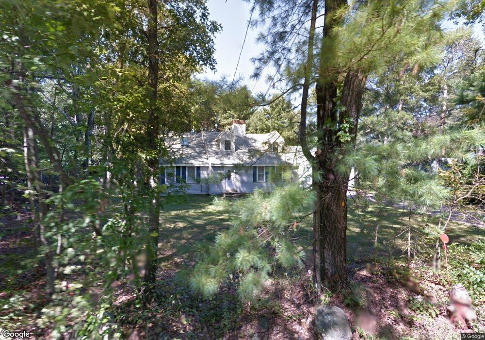
89 Farm St Millis, MA 02054
Estimated Value: $497,000 - $759,000
2
Beds
1
Bath
2,273
Sq Ft
$285/Sq Ft
Est. Value
About This Home
This home is located at 89 Farm St, Millis, MA 02054 and is currently estimated at $647,952, approximately $285 per square foot. 89 Farm St is a home located in Norfolk County with nearby schools including Clyde F Brown, Millis Middle School, and Millis High School.
Ownership History
Date
Name
Owned For
Owner Type
Purchase Details
Closed on
Aug 13, 2025
Sold by
Silva David J and Silva Elizabeth M
Bought by
Silva Elizabeth M
Current Estimated Value
Purchase Details
Closed on
Jun 18, 2010
Sold by
Theriault Raymond X and Theriault Barbara E
Bought by
Silva David J and Silva Elizabeth M
Home Financials for this Owner
Home Financials are based on the most recent Mortgage that was taken out on this home.
Original Mortgage
$229,904
Interest Rate
5.03%
Mortgage Type
Purchase Money Mortgage
Purchase Details
Closed on
Apr 21, 1988
Sold by
Holland Helen T
Bought by
Theriault Raymond X
Home Financials for this Owner
Home Financials are based on the most recent Mortgage that was taken out on this home.
Original Mortgage
$120,000
Interest Rate
9.89%
Mortgage Type
Purchase Money Mortgage
Create a Home Valuation Report for This Property
The Home Valuation Report is an in-depth analysis detailing your home's value as well as a comparison with similar homes in the area
Home Values in the Area
Average Home Value in this Area
Purchase History
| Date | Buyer | Sale Price | Title Company |
|---|---|---|---|
| Silva Elizabeth M | -- | -- | |
| Silva Elizabeth M | -- | -- | |
| Silva David J | $233,000 | -- | |
| Silva David J | $233,000 | -- | |
| Theriault Raymond X | $185,000 | -- |
Source: Public Records
Mortgage History
| Date | Status | Borrower | Loan Amount |
|---|---|---|---|
| Previous Owner | Silva David J | $229,904 | |
| Previous Owner | Theriault Raymond X | $120,000 |
Source: Public Records
Tax History Compared to Growth
Tax History
| Year | Tax Paid | Tax Assessment Tax Assessment Total Assessment is a certain percentage of the fair market value that is determined by local assessors to be the total taxable value of land and additions on the property. | Land | Improvement |
|---|---|---|---|---|
| 2025 | $9,296 | $566,800 | $189,200 | $377,600 |
| 2024 | $8,282 | $504,400 | $189,200 | $315,200 |
| 2023 | $7,975 | $456,000 | $164,500 | $291,500 |
| 2022 | $7,754 | $410,700 | $164,500 | $246,200 |
| 2021 | $7,536 | $384,100 | $164,500 | $219,600 |
| 2020 | $7,778 | $386,200 | $153,700 | $232,500 |
| 2019 | $6,852 | $366,400 | $144,900 | $221,500 |
| 2018 | $6,366 | $353,300 | $131,800 | $221,500 |
| 2017 | $6,381 | $346,400 | $139,200 | $207,200 |
| 2016 | $6,041 | $346,400 | $139,200 | $207,200 |
| 2015 | $5,889 | $346,400 | $139,200 | $207,200 |
Source: Public Records
Map
Nearby Homes