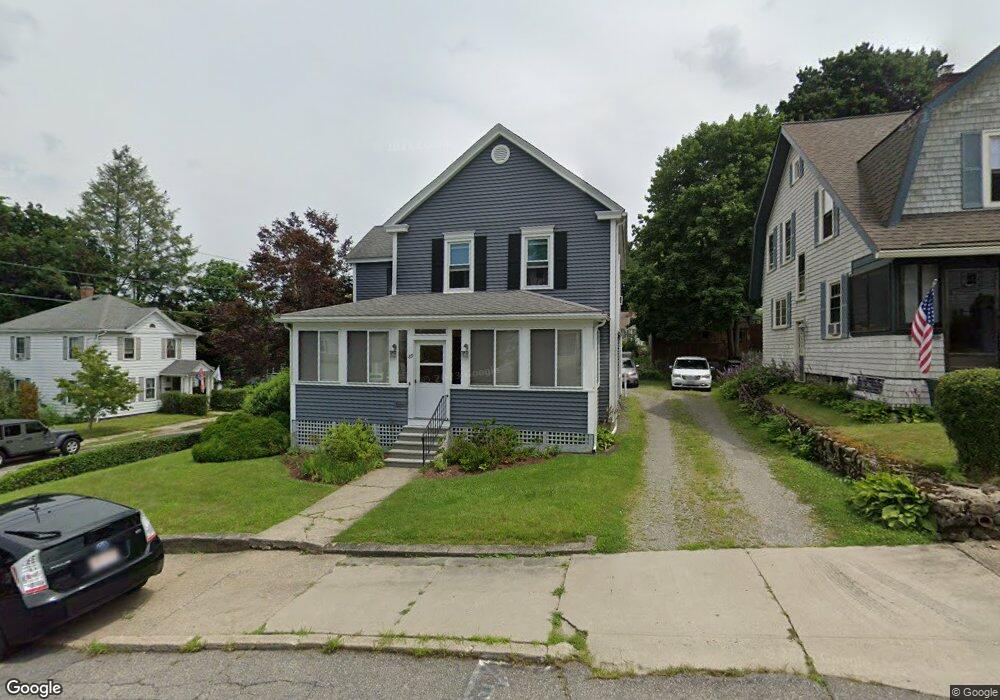
89 Hammond St Clinton, MA 01510
Estimated Value: $401,000 - $418,000
3
Beds
1
Bath
1,624
Sq Ft
$253/Sq Ft
Est. Value
About This Home
This home is located at 89 Hammond St, Clinton, MA 01510 and is currently estimated at $410,371, approximately $252 per square foot. 89 Hammond St is a home located in Worcester County with nearby schools including Clinton Elementary School, Clinton Senior High School, and Clinton Middle School.
Ownership History
Date
Name
Owned For
Owner Type
Purchase Details
Closed on
Jun 8, 2017
Sold by
Chase Paul D and Chase Deborah L
Bought by
Chase Irt
Current Estimated Value
Purchase Details
Closed on
Apr 26, 1983
Bought by
Chase Paul D and Chase Deborah L
Create a Home Valuation Report for This Property
The Home Valuation Report is an in-depth analysis detailing your home's value as well as a comparison with similar homes in the area
Home Values in the Area
Average Home Value in this Area
Purchase History
| Date | Buyer | Sale Price | Title Company |
|---|---|---|---|
| Chase Irt | -- | -- | |
| Chase Paul D | $49,000 | -- |
Source: Public Records
Mortgage History
| Date | Status | Borrower | Loan Amount |
|---|---|---|---|
| Previous Owner | Chase Paul D | $30,000 | |
| Previous Owner | Chase Paul D | $80,000 | |
| Previous Owner | Chase Paul D | $65,500 | |
| Previous Owner | Chase Paul D | $71,000 |
Source: Public Records
Tax History
| Year | Tax Paid | Tax Assessment Tax Assessment Total Assessment is a certain percentage of the fair market value that is determined by local assessors to be the total taxable value of land and additions on the property. | Land | Improvement |
|---|---|---|---|---|
| 2025 | $4,385 | $329,700 | $100,700 | $229,000 |
| 2024 | $4,226 | $321,600 | $100,700 | $220,900 |
| 2023 | $3,956 | $295,900 | $91,600 | $204,300 |
| 2022 | $3,936 | $264,000 | $83,200 | $180,800 |
| 2021 | $3,682 | $231,000 | $79,300 | $151,700 |
| 2020 | $3,577 | $230,900 | $79,300 | $151,600 |
| 2019 | $3,376 | $211,900 | $76,900 | $135,000 |
| 2018 | $3,528 | $207,800 | $76,900 | $130,900 |
| 2017 | $3,113 | $176,200 | $76,900 | $99,300 |
| 2016 | $3,162 | $183,100 | $76,900 | $106,200 |
| 2015 | $2,891 | $173,500 | $74,700 | $98,800 |
| 2014 | $2,802 | $173,500 | $74,700 | $98,800 |
Source: Public Records
Map
Nearby Homes
- 155 Cedar St
- 25 Pearl St
- 93 Forest St
- 101 Woodruff Rd
- 508 High St
- 57 Clark St
- 719 Main St
- 115117 Mechanic St Unit 4
- 115117 Mechanic St Unit 3
- 55 Sterling St Unit 306
- 55 Sterling St Unit 312
- 55 Sterling St Unit 314
- 55 Sterling St Unit 212
- 861 Main St
- 46 Woodruff Rd
- 212 Chace St
- 30 Richman St
- 5 Richman St
- 355 Main St
- 12 Woodruff Rd
- 79 Hammond St
- 51 Hammond St
- 154 Pearl St
- 190 Prescott St
- 184 Prescott St
- 160 Pearl St
- 49 Hammond St
- 88 Hammond St
- 180 Prescott St
- 176 Pearl St
- 176 Pearl St Unit 2
- 144 Pearl St Unit 146
- 60 Hammond St
- 174 Prescott St
- 47 Hammond St
- 136 Pearl St
- 56 Hammond St
- 170 Prescott St
- 191 Prescott St
- 37 Hammond St
Your Personal Tour Guide
Ask me questions while you tour the home.