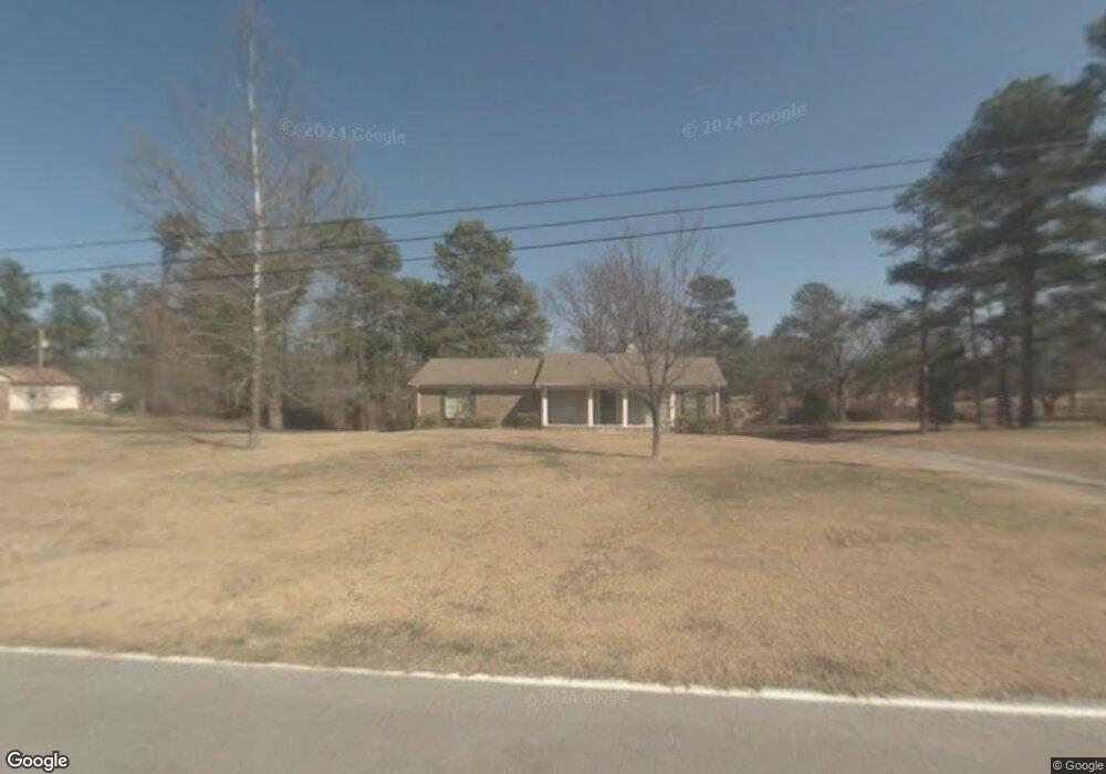
89 Henderson Rd Somerville, AL 35670
Estimated Value: $173,843 - $221,000
--
Bed
--
Bath
1,525
Sq Ft
$131/Sq Ft
Est. Value
About This Home
This home is located at 89 Henderson Rd, Somerville, AL 35670 and is currently estimated at $199,211, approximately $130 per square foot. 89 Henderson Rd is a home located in Morgan County with nearby schools including Priceville Elementary School, Priceville Junior High School, and Priceville High School.
Ownership History
Date
Name
Owned For
Owner Type
Purchase Details
Closed on
Oct 2, 2013
Sold by
Vokoun Susan and Fuller Lisa A
Bought by
Lester Barbara A
Current Estimated Value
Home Financials for this Owner
Home Financials are based on the most recent Mortgage that was taken out on this home.
Original Mortgage
$67,050
Outstanding Balance
$49,850
Interest Rate
4.23%
Mortgage Type
New Conventional
Estimated Equity
$149,361
Purchase Details
Closed on
Mar 9, 2012
Sold by
Jankowski Walter J and Jankowski Walter J
Bought by
Vokoun Susan and Noworul Barbara R
Purchase Details
Closed on
Jul 6, 2011
Sold by
Adcock Philip L
Bought by
Fuller Lisa A
Create a Home Valuation Report for This Property
The Home Valuation Report is an in-depth analysis detailing your home's value as well as a comparison with similar homes in the area
Home Values in the Area
Average Home Value in this Area
Purchase History
| Date | Buyer | Sale Price | Title Company |
|---|---|---|---|
| Lester Barbara A | $74,500 | None Available | |
| Vokoun Susan | $37,500 | None Available | |
| Fuller Lisa A | $37,500 | None Available |
Source: Public Records
Mortgage History
| Date | Status | Borrower | Loan Amount |
|---|---|---|---|
| Open | Lester Barbara A | $67,050 |
Source: Public Records
Tax History Compared to Growth
Tax History
| Year | Tax Paid | Tax Assessment Tax Assessment Total Assessment is a certain percentage of the fair market value that is determined by local assessors to be the total taxable value of land and additions on the property. | Land | Improvement |
|---|---|---|---|---|
| 2024 | $430 | $14,790 | $1,450 | $13,340 |
| 2023 | $430 | $14,790 | $1,450 | $13,340 |
| 2022 | $395 | $13,660 | $1,260 | $12,400 |
| 2021 | $346 | $12,060 | $1,710 | $10,350 |
| 2020 | $328 | $21,250 | $1,710 | $19,540 |
| 2019 | $358 | $11,000 | $0 | $0 |
| 2015 | $867 | $10,100 | $0 | $0 |
| 2014 | $867 | $23,180 | $0 | $0 |
| 2013 | -- | $20,860 | $0 | $0 |
Source: Public Records
Map
Nearby Homes
- 213 Brookhill Rd
- 480 Wildwood Way
- 1575 Highway 67 S
- 400 Still Meadow Rd
- 53 Slaten Dr
- 160 Hagood Dr
- 80 Shirley Hill Rd
- 148 Cove Creek Dr
- 337 Perry Ave
- 571 Berry Rd
- 56 Sunset Acres Ave
- 1136 Shoal Creek Rd
- 68 Churchill Terrace
- 78 Churchill Terrace
- 1271 Friendship Rd
- 35 Winchester Dr
- 1327 Friendship Rd
- 1.2 Acres Route 67
- .97 Acres Route 67
- 61 Cambridge Dr SE
- 113 Henderson Rd
- 14 Lemmond Cir
- 116 Lemmond Cir
- 48 Lemmond Cir
- 104 Henderson Rd
- 70 Lemmond Cir
- 66 Henderson Rd
- 117 Lemmond Cir
- 128 Henderson Rd
- 19 Lemmond Cir
- 143 Lemmond Cir
- 29 Lemmond Cir
- 85 Lemmond Cir
- 101 Lemmond Cir
- 51 Lemmond Cir
- 61 Lemmond Cir
- 39 Henderson Rd
- 79 Lemmond Cir
- 12 Henderson Rd
- 304 Friendship Rd