89 Hoit Rd Concord, NH 03301
East Concord NeighborhoodEstimated Value: $361,455
Studio
1
Bath
--
Sq Ft
8.35
Acres Lot
About This Home
This home is located at 89 Hoit Rd, Concord, NH 03301 and is currently estimated at $361,455. 89 Hoit Rd is a home located in Merrimack County with nearby schools including Broken Ground School, Rundlett Middle School, and Concord High School.
Ownership History
Date
Name
Owned For
Owner Type
Purchase Details
Closed on
Jun 21, 2011
Sold by
Stover Arlene F
Bought by
Souther Charles H and Souther Diane L
Current Estimated Value
Home Financials for this Owner
Home Financials are based on the most recent Mortgage that was taken out on this home.
Original Mortgage
$160,000
Outstanding Balance
$109,276
Interest Rate
4.74%
Mortgage Type
Purchase Money Mortgage
Estimated Equity
$250,895
Create a Home Valuation Report for This Property
The Home Valuation Report is an in-depth analysis detailing your home's value as well as a comparison with similar homes in the area
Home Values in the Area
Average Home Value in this Area
Purchase History
We collect this data history from publicly available records. To have your information removed, we recommend requesting removal directly through your county’s website.
| Date | Buyer | Sale Price | Title Company |
|---|---|---|---|
| Souther Charles H | $160,000 | -- | |
| Souther Charles H | $160,000 | -- |
Source: Public Records
Mortgage History
We collect this data history from publicly available records. To have your information removed, we recommend requesting removal directly through your county’s website.
| Date | Status | Borrower | Loan Amount |
|---|---|---|---|
| Open | Souther Charles H | $160,000 | |
| Closed | Souther Charles H | $160,000 |
Source: Public Records
Tax History
| Year | Tax Paid | Tax Assessment Tax Assessment Total Assessment is a certain percentage of the fair market value that is determined by local assessors to be the total taxable value of land and additions on the property. | Land | Improvement |
|---|---|---|---|---|
| 2025 | $45 | $1,550 | $1,550 | $0 |
| 2024 | $42 | $1,500 | $1,500 | $0 |
| 2023 | $2,769 | $103,100 | $103,100 | $0 |
| 2022 | $2,677 | $103,400 | $103,400 | $0 |
| 2021 | $2,600 | $103,500 | $103,500 | $0 |
| 2020 | $1,761 | $65,800 | $65,800 | $0 |
| 2019 | $1,753 | $63,100 | $63,100 | $0 |
| 2018 | $1,779 | $63,100 | $63,100 | $0 |
| 2017 | $1,714 | $60,700 | $60,700 | $0 |
| 2016 | $1,680 | $60,700 | $60,700 | $0 |
| 2015 | $1,725 | $60,100 | $60,100 | $0 |
| 2014 | $1,611 | $60,100 | $60,100 | $0 |
| 2013 | -- | $60,100 | $60,100 | $0 |
| 2012 | -- | $63,000 | $63,000 | $0 |
Source: Public Records
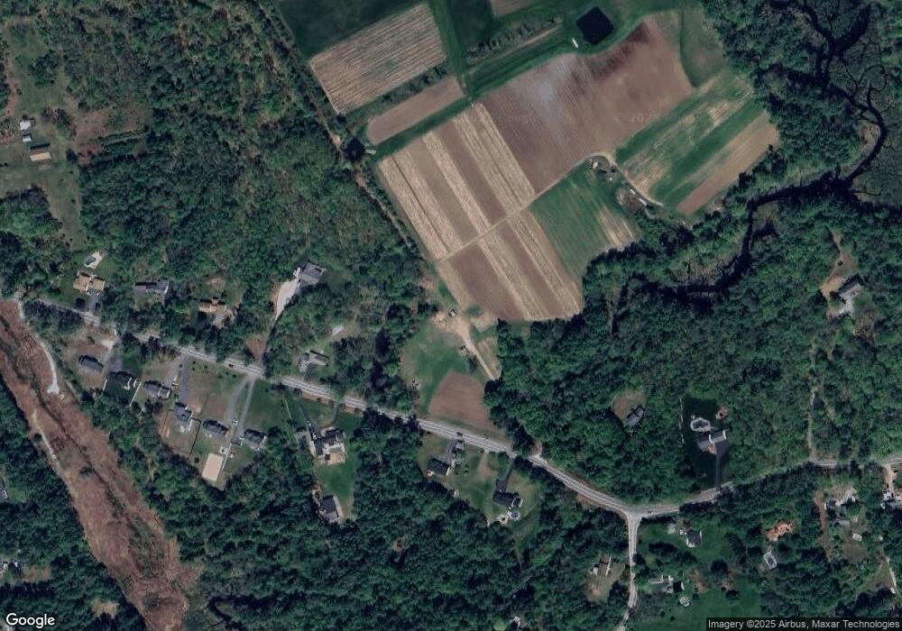
Map
Nearby Homes
- 12 Shelburne Ln
- 10 Shelburne Ln
- 137 Snow Pond Rd
- 563 Mountain Rd
- 287 Hoit Rd
- 15 Hothole Pond Rd
- 104 Penacook St
- 1 Flume St
- 9 Checkerberry Ln
- 127 Sewalls Falls Rd
- 86 Manor Rd
- 73 Snow St
- 59 Hobart St
- 10 Checkerberry Ln
- 26 Cross St
- 59 Manor Rd
- 12 Cross St Unit 201
- 125 Sewalls Falls Rd
- 21 Hobart St
- 10 Sherman Dr
Your Personal Tour Guide
Ask me questions while you tour the home.