89 Island Rd Limerick, ME 04048
Estimated Value: $451,000 - $509,000
3
Beds
2
Baths
1,228
Sq Ft
$384/Sq Ft
Est. Value
About This Home
This home is located at 89 Island Rd, Limerick, ME 04048 and is currently estimated at $472,118, approximately $384 per square foot. 89 Island Rd is a home located in York County with nearby schools including Massabesic High School.
Ownership History
Date
Name
Owned For
Owner Type
Purchase Details
Closed on
May 7, 2025
Sold by
Hudson Taylor
Bought by
Homan Michael P and Homan Sara M
Current Estimated Value
Home Financials for this Owner
Home Financials are based on the most recent Mortgage that was taken out on this home.
Original Mortgage
$395,000
Outstanding Balance
$392,890
Interest Rate
6.65%
Mortgage Type
VA
Estimated Equity
$79,228
Create a Home Valuation Report for This Property
The Home Valuation Report is an in-depth analysis detailing your home's value as well as a comparison with similar homes in the area
Home Values in the Area
Average Home Value in this Area
Purchase History
| Date | Buyer | Sale Price | Title Company |
|---|---|---|---|
| Homan Michael P | $430,000 | None Available | |
| Homan Michael P | $430,000 | None Available | |
| Homan Michael P | $430,000 | None Available |
Source: Public Records
Mortgage History
| Date | Status | Borrower | Loan Amount |
|---|---|---|---|
| Open | Homan Michael P | $395,000 | |
| Closed | Homan Michael P | $395,000 |
Source: Public Records
Tax History
| Year | Tax Paid | Tax Assessment Tax Assessment Total Assessment is a certain percentage of the fair market value that is determined by local assessors to be the total taxable value of land and additions on the property. | Land | Improvement |
|---|---|---|---|---|
| 2025 | $3,687 | $388,106 | $86,638 | $301,468 |
| 2024 | $3,687 | $388,106 | $86,638 | $301,468 |
| 2023 | $3,687 | $242,550 | $34,450 | $208,100 |
| 2022 | $103 | $7,225 | $7,225 | $0 |
| 2021 | $96 | $5,780 | $5,780 | $0 |
| 2020 | $95 | $5,780 | $5,780 | $0 |
| 2019 | $91 | $5,780 | $5,780 | $0 |
| 2018 | $0 | $3,560 | $3,560 | $0 |
| 2017 | $0 | $3,560 | $3,560 | $0 |
| 2016 | -- | $3,560 | $3,560 | $0 |
| 2015 | -- | $3,560 | $3,560 | $0 |
| 2014 | -- | $3,560 | $3,560 | $0 |
Source: Public Records
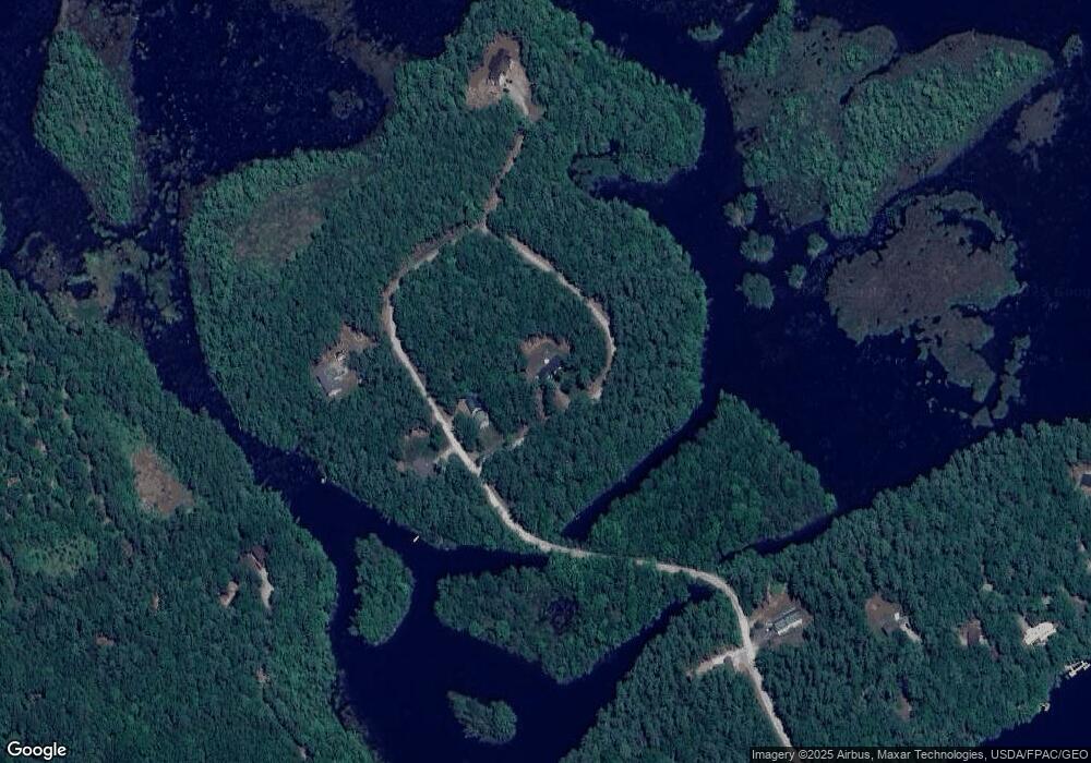
Map
Nearby Homes
- 0 Island Rd Unit 1643509
- 50 Island Rd
- 68 Lone Pine Rd
- 59 Crescent Dr
- 13 Quaker Ln
- MP42LT232 Nob Hill Rd
- 17 High Point Cir
- 240 Leisure Ln
- 60 Sequoia Ln
- 48 King Hill Rd
- TBD Sokokis Trail & Beaver Brook Rd
- 148 Beaver Brook Rd
- 26 Old Country Way
- 138 Fairview Dr
- 3 Division Rd
- 25 Spring Lake Dr
- TBD Division Dr
- 92 Silver Ln
- 33 Arrowhead Ln
- 4 Deer Crossing Rd
- 2001-08 Island Rd
- 15 Island Way
- 0 Island Rd Unit 786408
- 0 Island Rd Unit 704569
- 0 Island Rd Unit 478979
- 0 Island Rd Unit 277903
- 0 Island Rd Unit 271018
- 0 Island Rd Unit 758492
- 0 Island Rd Unit 669811
- 0 Island Rd Unit 626505
- 0 Island Rd Unit 368159
- 0 Island Rd Unit 266369
- 0 Island Rd Unit 891622
- 0 Island Rd Unit 967631
- 0 Island Rd Unit 1094507
- 0 Island Rd Unit 1128641
- 0 Island Rd Unit 1226328
- 0 Island Rd Unit 1441551
- 0 Island Rd Unit 4058168
- TBD Ruby Ln
Your Personal Tour Guide
Ask me questions while you tour the home.