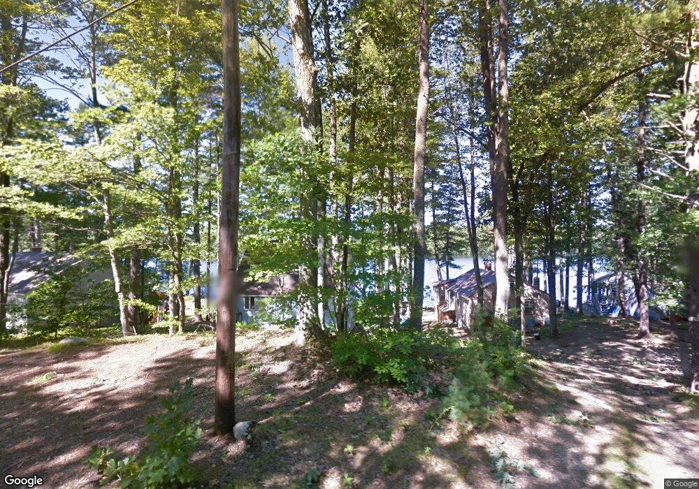
89 Javica Ln Sanford, ME 04073
South Sanford NeighborhoodEstimated Value: $451,000 - $550,000
3
Beds
2
Baths
1,800
Sq Ft
$282/Sq Ft
Est. Value
About This Home
This home is located at 89 Javica Ln, Sanford, ME 04073 and is currently estimated at $506,956, approximately $281 per square foot. 89 Javica Ln is a home located in York County.
Ownership History
Date
Name
Owned For
Owner Type
Purchase Details
Closed on
Sep 7, 2016
Sold by
Rogers Richard E
Bought by
Rogers Richard E and Rogers Jennifer F
Current Estimated Value
Home Financials for this Owner
Home Financials are based on the most recent Mortgage that was taken out on this home.
Original Mortgage
$125,500
Outstanding Balance
$56,686
Interest Rate
3.48%
Mortgage Type
Purchase Money Mortgage
Estimated Equity
$450,270
Purchase Details
Closed on
Aug 30, 2010
Sold by
Stevens 3Rd Ralph H
Bought by
Rogers Richard E
Home Financials for this Owner
Home Financials are based on the most recent Mortgage that was taken out on this home.
Original Mortgage
$150,000
Interest Rate
4.57%
Mortgage Type
Unknown
Create a Home Valuation Report for This Property
The Home Valuation Report is an in-depth analysis detailing your home's value as well as a comparison with similar homes in the area
Home Values in the Area
Average Home Value in this Area
Purchase History
| Date | Buyer | Sale Price | Title Company |
|---|---|---|---|
| Rogers Richard E | -- | -- | |
| Rogers Richard E | -- | -- |
Source: Public Records
Mortgage History
| Date | Status | Borrower | Loan Amount |
|---|---|---|---|
| Open | Rogers Richard E | $125,500 | |
| Closed | Rogers Richard E | $150,000 |
Source: Public Records
Tax History Compared to Growth
Tax History
| Year | Tax Paid | Tax Assessment Tax Assessment Total Assessment is a certain percentage of the fair market value that is determined by local assessors to be the total taxable value of land and additions on the property. | Land | Improvement |
|---|---|---|---|---|
| 2025 | $4,820 | $281,900 | $38,500 | $243,400 |
| 2024 | $4,550 | $281,900 | $38,500 | $243,400 |
| 2023 | $4,268 | $281,900 | $38,500 | $243,400 |
| 2022 | $4,172 | $281,900 | $38,500 | $243,400 |
| 2021 | $4,087 | $224,800 | $38,500 | $186,300 |
| 2020 | $3,778 | $187,400 | $38,500 | $148,900 |
| 2019 | $3,705 | $179,000 | $38,500 | $140,500 |
| 2018 | $3,235 | $168,200 | $34,400 | $133,800 |
| 2017 | $3,435 | $165,600 | $34,400 | $131,200 |
| 2016 | $3,488 | $153,400 | $34,500 | $118,900 |
| 2015 | $3,235 | $146,800 | $33,300 | $113,500 |
| 2014 | $3,355 | $146,900 | $33,300 | $113,600 |
| 2013 | -- | $155,500 | $37,500 | $118,000 |
Source: Public Records
Map
Nearby Homes
- 99 Channel Ln
- 122 Country Club 3 Rd
- 41 Sunny Ln
- Lot 8E Country Club Rd
- 42 Bernice Ave
- 22 Lentago Ln
- Lot 4 Tbd Lentago Ln Unit Lot 4
- Lot 55-A Ford Quint Rd
- 247 Sam Allen Rd
- 45 Grace Ln
- TBD Ridge Terrace Unit Lot 7
- TBD Ridge Terrace Unit Lot 6
- Lot 1 Ridge Terrace
- 469 High St
- 12 Birch Ln
- 17 Airport Rd
- 56 Sam Allen Rd
- 0 Airport Rd Unit 1634997
- 0 Airport Rd Unit 1624305
- Lot 3 Gatehouse Rd