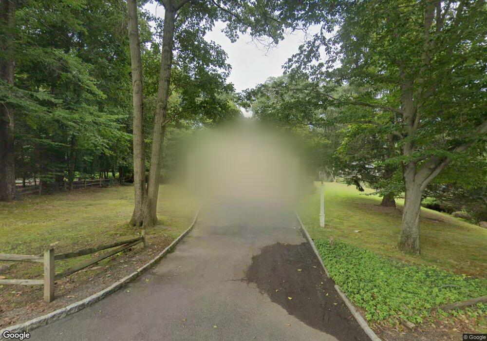
89 Locust Ln Upper Saddle River, NJ 07458
Estimated Value: $1,127,000 - $1,498,000
Studio
--
Bath
2,792
Sq Ft
$444/Sq Ft
Est. Value
About This Home
This home is located at 89 Locust Ln, Upper Saddle River, NJ 07458 and is currently estimated at $1,238,826, approximately $443 per square foot. 89 Locust Ln is a home located in Bergen County with nearby schools including Robert D. Reynolds Elementary School, Edith A. Bogert Elementary School, and Emil A. Cavallini Middle School.
Ownership History
Date
Name
Owned For
Owner Type
Purchase Details
Closed on
Jul 23, 2020
Sold by
Tyrrell Laura Y and Estate Of Shirley L Yates
Bought by
Myronchenko Roman and Gluhovsky Inna Matov
Current Estimated Value
Purchase Details
Closed on
Feb 2, 1999
Sold by
Yates John W and Yates Shirley L
Bought by
Yates Shirley L
Create a Home Valuation Report for This Property
The Home Valuation Report is an in-depth analysis detailing your home's value as well as a comparison with similar homes in the area
Home Values in the Area
Average Home Value in this Area
Purchase History
| Date | Buyer | Sale Price | Title Company |
|---|---|---|---|
| Myronchenko Roman | $500,000 | Centurion Title Services Llc | |
| Yates Shirley L | -- | -- |
Source: Public Records
Tax History Compared to Growth
Tax History
| Year | Tax Paid | Tax Assessment Tax Assessment Total Assessment is a certain percentage of the fair market value that is determined by local assessors to be the total taxable value of land and additions on the property. | Land | Improvement |
|---|---|---|---|---|
| 2025 | $15,167 | $595,700 | $324,600 | $271,100 |
| 2024 | $14,773 | $595,700 | $324,600 | $271,100 |
| 2023 | $14,732 | $595,700 | $324,600 | $271,100 |
| 2022 | $14,732 | $595,700 | $324,600 | $271,100 |
| 2021 | $14,166 | $595,700 | $324,600 | $271,100 |
| 2020 | $14,499 | $595,700 | $324,600 | $271,100 |
| 2019 | $14,166 | $595,700 | $324,600 | $271,100 |
| 2018 | $14,064 | $595,700 | $324,600 | $271,100 |
| 2017 | $13,951 | $595,700 | $324,600 | $271,100 |
| 2016 | $13,528 | $595,700 | $324,600 | $271,100 |
| 2015 | $13,332 | $595,700 | $324,600 | $271,100 |
| 2014 | $13,093 | $595,700 | $324,600 | $271,100 |
Source: Public Records
Map
Nearby Homes
- 11 Timberlane Rd
- 45 Ackerman Rd
- 25 Ackerman Rd
- 325 Fern Dell St
- 95 Fox Hedge Rd
- 70 Oak Dr
- 85 Oak Dr
- 14 Stuyvesant Rd
- 11 Aldbury Dr
- 205 Four Seasons Ln
- 47 Fox Hedge Rd
- 262 W Saddle River Rd
- 16 D Rolling Ridge Rd Unit 16D
- 46 Partridge Hill
- 26 Huff Terrace
- 146 E Allendale Rd
- 4 Summertree Way
- 64 Stoney Ridge Rd
- 2 Alford Dr
- 186 E Saddle River Rd
- 93 Locust Ln
- 32 Dogwood Hill Rd
- 36 Dogwood Hill Rd
- 28 Dogwood Hill Rd
- 86 Locust Ln
- 94 Locust Ln
- 40 Dogwood Hill Rd
- 97 Locust Ln
- 24 Dogwood Hill Rd
- 82 Locust Ln
- 103 Dimmig Rd
- 31 Dogwood Hill Rd
- 79 Locust Ln
- 35 Dogwood Hill Rd
- 107 Dimmig Rd
- 147 Dimmig Rd
- 97 Dimmig Rd
- 27 Dogwood Hill Rd
- 39 Dogwood Hill Rd
- 20 Dogwood Hill Rd
