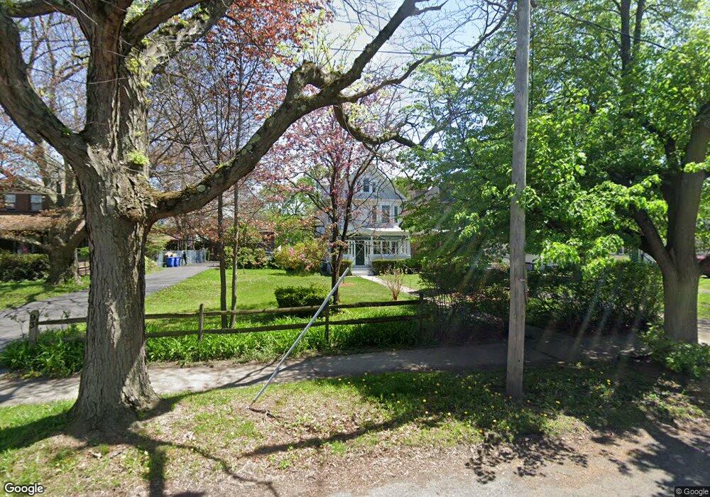
89 Manning Blvd Albany, NY 12203
Pine Hills NeighborhoodEstimated Value: $255,000 - $302,381
About This Home
This home is located at 89 Manning Blvd, Albany, NY 12203 and is currently estimated at $273,595, approximately $159 per square foot. 89 Manning Blvd is a home located in Albany County with nearby schools including Pine Hills Elementary School, Stephen And Harriet Myers Middle School, and Albany High School.
Ownership History
We collect this data history from publicly available records. To have your information removed, we recommend requesting removal directly through your county’s website.
Purchase Details
Home Financials for this Owner
Home Financials are based on the most recent Mortgage that was taken out on this home.Purchase Details
Home Values in the Area
Average Home Value in this Area
Purchase History
We collect this data history from publicly available records. To have your information removed, we recommend requesting removal directly through your county’s website.
| Date | Buyer | Sale Price | Title Company |
|---|---|---|---|
| $247,000 | Pac Abstract And Title | ||
| -- | -- |
Mortgage History
We collect this data history from publicly available records. To have your information removed, we recommend requesting removal directly through your county’s website.
| Date | Status | Borrower | Loan Amount |
|---|---|---|---|
| Open | $197,600 |
Tax History
We collect this data history from publicly available records. To have your information removed, we recommend requesting removal directly through your county’s website.
| Year | Tax Paid | Tax Assessment Tax Assessment Total Assessment is a certain percentage of the fair market value that is determined by local assessors to be the total taxable value of land and additions on the property. | Land | Improvement |
|---|---|---|---|---|
| 2025 | $3,741 | $245,000 | $49,000 | $196,000 |
| 2024 | $3,741 | $245,000 | $49,000 | $196,000 |
| 2023 | $4,739 | $189,000 | $37,800 | $151,200 |
| 2022 | $4,486 | $189,000 | $37,800 | $151,200 |
| 2021 | $4,434 | $189,000 | $37,800 | $151,200 |
| 2020 | $4,768 | $189,000 | $37,800 | $151,200 |
| 2019 | $5,878 | $189,000 | $37,800 | $151,200 |
| 2018 | $4,900 | $189,000 | $37,800 | $151,200 |
| 2017 | $2,687 | $189,000 | $37,800 | $151,200 |
| 2016 | $4,745 | $189,000 | $37,800 | $151,200 |
| 2015 | $4,439 | $179,900 | $36,000 | $143,900 |
| 2014 | -- | $179,900 | $36,000 | $143,900 |
Map
- 884 Lancaster St
- 84 Winthrop Ave
- 52 N Allen St
- 149 Homestead Ave
- 118 N Allen St
- 17 Winthrop Ave
- 974 Washington Ave
- 11 Homestead Ave
- 101 Fairlawn Ave
- 29 S Pine Ave
- 979 Washington Ave
- 16 Roosevelt St
- 477 Western Ave
- 349 Manning Blvd
- 52 S Allen St
- 942 Myrtle Ave
- 39 Hawthorne Ave
- 167 N Allen St
- 22 Fairlawn Ave
- 6 Van Buren St
- 93 Manning Blvd
- 97 Manning Blvd
- 85 Manning Blvd
- 81 Manning Blvd
- 898 Lancaster St
- 896 Lancaster St
- 894 Lancaster St
- 77 Manning Blvd
- 101 Manning Blvd
- 892 Lancaster St
- 75 Manning Blvd
- 79 Manning Blvd
- 105 Manning Blvd Unit 1
- 105 Manning Blvd
- 901 Lancaster St
- 890 Lancaster St Unit 1
- 890 Lancaster St
- 899 Lancaster St
- 71 Manning Blvd Unit 73
- 888 Lancaster St
Ask me questions while you tour the home.