Estimated Value: $4,283,000 - $16,610,184
6
Beds
7
Baths
6,240
Sq Ft
$1,642/Sq Ft
Est. Value
About This Home
This home is located at 89 Maroon Dr, Aspen, CO 81611 and is currently estimated at $10,243,395, approximately $1,641 per square foot. 89 Maroon Dr is a home located in Pitkin County with nearby schools including Aspen Elementary School, Aspen Middle School, and Aspen High School.
Ownership History
Date
Name
Owned For
Owner Type
Purchase Details
Closed on
Aug 11, 2023
Bought by
Maroon Real Estate Revocable Trust
Current Estimated Value
Purchase Details
Closed on
Feb 22, 2012
Purchase Details
Closed on
Apr 28, 2006
Sold by
Pinion Properties Llc
Purchase Details
Closed on
Oct 31, 2003
Sold by
Sullivan John M and Sullivan Sylvia
Bought by
Pinion Properties Llc
Create a Home Valuation Report for This Property
The Home Valuation Report is an in-depth analysis detailing your home's value as well as a comparison with similar homes in the area
Home Values in the Area
Average Home Value in this Area
Purchase History
| Date | Buyer | Sale Price | Title Company |
|---|---|---|---|
| Maroon Real Estate Revocable Trust | -- | None Listed On Document | |
| -- | -- | None Available | |
| -- | $6,000,000 | None Available | |
| Pinion Properties Llc | $2,200,000 | Stewart Title Of Aspen Inc |
Source: Public Records
Tax History
| Year | Tax Paid | Tax Assessment Tax Assessment Total Assessment is a certain percentage of the fair market value that is determined by local assessors to be the total taxable value of land and additions on the property. | Land | Improvement |
|---|---|---|---|---|
| 2025 | $21,366 | $654,490 | $531,250 | $123,240 |
| 2024 | $21,366 | $1,258,880 | $542,790 | $716,090 |
| 2023 | $36,210 | $1,273,800 | $549,220 | $724,580 |
| 2022 | $15,997 | $505,320 | $225,880 | $279,440 |
| 2021 | $15,956 | $519,860 | $232,380 | $287,480 |
| 2020 | $14,691 | $477,510 | $203,780 | $273,730 |
| 2019 | $14,691 | $477,510 | $203,780 | $273,730 |
| 2018 | $15,558 | $480,840 | $205,200 | $275,640 |
| 2017 | $13,515 | $505,980 | $198,000 | $307,980 |
| 2016 | $11,983 | $439,810 | $183,080 | $256,730 |
| 2015 | $11,908 | $439,810 | $183,080 | $256,730 |
| 2014 | $14,225 | $513,060 | $222,880 | $290,180 |
Source: Public Records
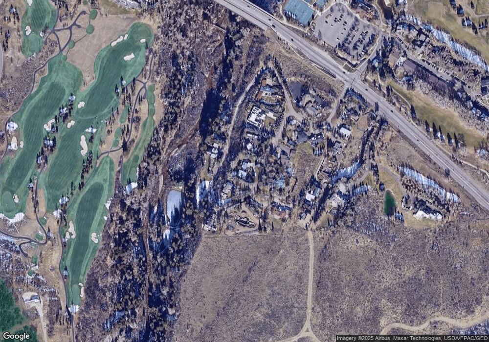
Map
Nearby Homes
- 28 Maroon Dr
- TBD Pfister Dr
- TBD Tiehack Rd
- 204 Oregon Trail
- 510 Oregon Trail
- 1395 Sierra Vista Dr Unit 1
- 824 Bonita Dr Unit 1
- 1162 Tiehack Rd
- 1085 Cemetery Ln Unit A
- 1050 Cemetery Ln
- 85 Glen Garry Dr
- 130 Primrose Path
- 1227 Mountain View Dr Unit s 1 & 2
- 593 Meadowood Dr
- 75 & 85 Glen Garry Dr
- 75 Glen Garry Dr
- 959 W Smuggler St
- 955 W Smuggler St
- 925 W North St
- T.D.R. Tdr
Your Personal Tour Guide
Ask me questions while you tour the home.