89 Memory Hill Dr Blairsville, GA 30512
Estimated Value: $288,000 - $421,000
3
Beds
2
Baths
1,050
Sq Ft
$323/Sq Ft
Est. Value
About This Home
This home is located at 89 Memory Hill Dr, Blairsville, GA 30512 and is currently estimated at $339,422, approximately $323 per square foot. 89 Memory Hill Dr is a home located in Union County with nearby schools including Union County Primary School, Union County Elementary School, and Union County Middle School.
Ownership History
Date
Name
Owned For
Owner Type
Purchase Details
Closed on
Sep 2, 2016
Sold by
Darrin
Bought by
Sparks Beverly Sue F and Sparks Paul Darrin
Current Estimated Value
Home Financials for this Owner
Home Financials are based on the most recent Mortgage that was taken out on this home.
Original Mortgage
$145,502
Outstanding Balance
$116,221
Interest Rate
3.43%
Mortgage Type
FHA
Estimated Equity
$223,201
Purchase Details
Closed on
Nov 19, 2007
Sold by
Sparks Sue
Bought by
Sparks Paul Darrin
Purchase Details
Closed on
Mar 23, 2001
Bought by
Sparks Sue
Create a Home Valuation Report for This Property
The Home Valuation Report is an in-depth analysis detailing your home's value as well as a comparison with similar homes in the area
Home Values in the Area
Average Home Value in this Area
Purchase History
| Date | Buyer | Sale Price | Title Company |
|---|---|---|---|
| Sparks Beverly Sue F | -- | -- | |
| Sparks Paul Darrin | -- | -- | |
| Sparks Sue | $6,200 | -- |
Source: Public Records
Mortgage History
| Date | Status | Borrower | Loan Amount |
|---|---|---|---|
| Open | Sparks Beverly Sue F | $145,502 |
Source: Public Records
Tax History Compared to Growth
Tax History
| Year | Tax Paid | Tax Assessment Tax Assessment Total Assessment is a certain percentage of the fair market value that is determined by local assessors to be the total taxable value of land and additions on the property. | Land | Improvement |
|---|---|---|---|---|
| 2024 | $1,101 | $101,096 | $14,520 | $86,576 |
| 2023 | $1,232 | $100,260 | $14,520 | $85,740 |
| 2022 | $963 | $80,060 | $13,440 | $66,620 |
| 2021 | $940 | $67,324 | $13,440 | $53,884 |
| 2020 | $833 | $51,742 | $11,090 | $40,652 |
| 2019 | $783 | $51,742 | $11,090 | $40,652 |
| 2018 | $909 | $51,742 | $11,090 | $40,652 |
| 2017 | $768 | $51,742 | $11,090 | $40,652 |
| 2016 | $874 | $51,742 | $11,090 | $40,652 |
| 2015 | $882 | $51,742 | $11,090 | $40,652 |
| 2013 | -- | $51,742 | $11,090 | $40,652 |
Source: Public Records
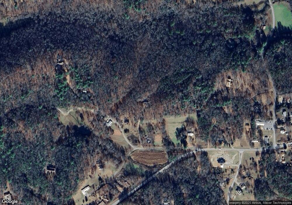
Map
Nearby Homes
- 391 Crumby Creek Terrace
- 219 Horseshoe Ln
- 72 Emma Grace Ln
- 14 Emma Grace Ln
- 56 Fairview Ave
- 349 Moon Shadow View N
- 20&21 Red Twig Rd
- Lt 20&21 Red Twig Rd
- 85 Fairview Ave
- 138 Autumn Ln
- 578 Jimmy Nicholson Rd
- Lot 3 Autumn Ln
- 8AC Jimmy Nicholson Rd
- 168 Moon Shadow Trail
- Lot 11B Prospectors Rd
- Lot 11B Prospectors Rd Unit 11B
- 389 Fort Mountain Rd
- 54 Moon Shadow View S
- 8 & 9 Up the Ridge Rd
- 13 Up the Ridge Rd
- 200 Foster Ln
- 10 Memory Hill Dr
- 44 Foster Ln
- 379 Foster Ln
- 2412 Owltown Rd
- 58 Foster Dr
- 34 Creekmont Summit
- 2591 Owltown Rd
- 2378 Owltown Rd
- 100 Ed Townsend Dr
- 58 Creekmont Dr
- 2364 Lower Owltown Rd
- 2418 Lower Owltown Rd
- 2874 Owltown Rd
- 51 Crumby Creek Terrace
- 63 Creekmont Dr
- 69 Creekmont Dr
- 25 Reece Dr
- 3189 Lower Owltown Rd
- 2385 Lower Owltown Rd