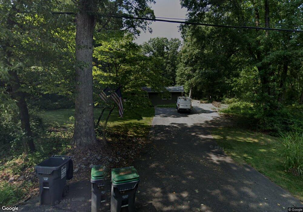
89 Mount Salem Rd Pittstown, NJ 08867
Estimated Value: $460,907 - $525,000
--
Bed
--
Bath
1,872
Sq Ft
$267/Sq Ft
Est. Value
About This Home
This home is located at 89 Mount Salem Rd, Pittstown, NJ 08867 and is currently estimated at $500,227, approximately $267 per square foot. 89 Mount Salem Rd is a home located in Hunterdon County with nearby schools including Alexandria Middle School and Delaware Valley Regional High School.
Ownership History
Date
Name
Owned For
Owner Type
Purchase Details
Closed on
Jun 29, 2016
Sold by
Mahler Elizabeth A
Bought by
Kope David G and Kope Christina
Current Estimated Value
Home Financials for this Owner
Home Financials are based on the most recent Mortgage that was taken out on this home.
Original Mortgage
$305,000
Interest Rate
3.64%
Mortgage Type
Purchase Money Mortgage
Purchase Details
Closed on
Nov 8, 2007
Sold by
Leff Alan
Bought by
Leff Karen K
Create a Home Valuation Report for This Property
The Home Valuation Report is an in-depth analysis detailing your home's value as well as a comparison with similar homes in the area
Home Values in the Area
Average Home Value in this Area
Purchase History
| Date | Buyer | Sale Price | Title Company |
|---|---|---|---|
| Kope David G | $225,000 | Old Republic National Title | |
| Leff Karen K | -- | None Available |
Source: Public Records
Mortgage History
| Date | Status | Borrower | Loan Amount |
|---|---|---|---|
| Closed | Kope David G | $305,000 |
Source: Public Records
Tax History Compared to Growth
Tax History
| Year | Tax Paid | Tax Assessment Tax Assessment Total Assessment is a certain percentage of the fair market value that is determined by local assessors to be the total taxable value of land and additions on the property. | Land | Improvement |
|---|---|---|---|---|
| 2025 | $7,400 | $246,600 | $119,500 | $127,100 |
| 2024 | $6,897 | $246,600 | $119,500 | $127,100 |
| 2023 | $6,897 | $246,600 | $119,500 | $127,100 |
| 2022 | $6,836 | $246,600 | $119,500 | $127,100 |
| 2021 | $6,611 | $246,600 | $119,500 | $127,100 |
| 2020 | $6,577 | $246,600 | $119,500 | $127,100 |
| 2019 | $6,483 | $246,600 | $119,500 | $127,100 |
| 2018 | $6,347 | $246,600 | $119,500 | $127,100 |
| 2017 | $6,328 | $246,600 | $119,500 | $127,100 |
| 2016 | $6,308 | $246,600 | $119,500 | $127,100 |
| 2015 | $6,301 | $246,600 | $119,500 | $127,100 |
| 2014 | $6,103 | $246,600 | $119,500 | $127,100 |
Source: Public Records
Map
Nearby Homes
- 2 Smoke Run
- 6 Wyckoff Dr
- 9 Stires Way
- 634 County Road 579
- 1 Shy Creek Rd
- 92 Country Acres Dr
- 710 County Road 513
- 60 Perryville Rd
- 383 Pittstown Rd
- 32 Quakertown Rd
- 745 County Road 625
- 140 Driftway E
- 0 Baptist Church Rd
- 152 White Bridge Rd
- 271 County Road 513
- 39 Sky Manor Rd
- 14 Woodland Rd
- 759 County Road 625
- 58 Oakwood Blvd
- 97 Hartpence Rd
- 87 Mount Salem Rd
- 79 Mount Salem Rd
- 95 Mount Salem Rd
- 0 Mount Salem Rd
- 700 County Road 579
- 18 Colt Rd
- 679 County Road 579
- 16 Colt Rd
- 687 County Road 579
- 0 Whitehall Rd Unit 5468234
- 0 Whitehall Rd Unit 3834120
- 0 Whitehall Rd Unit 3713561
- 0 Whitehall Rd Unit 1008676438
- 671 County Road 579
- 12 Colt Rd
- 675 Pittstown Bloomsbury Rd
- 15 Stonewicke Dr
- 74 Cooks Cross Rd
- 74 Whitehall Rd
- 675 County Road 579