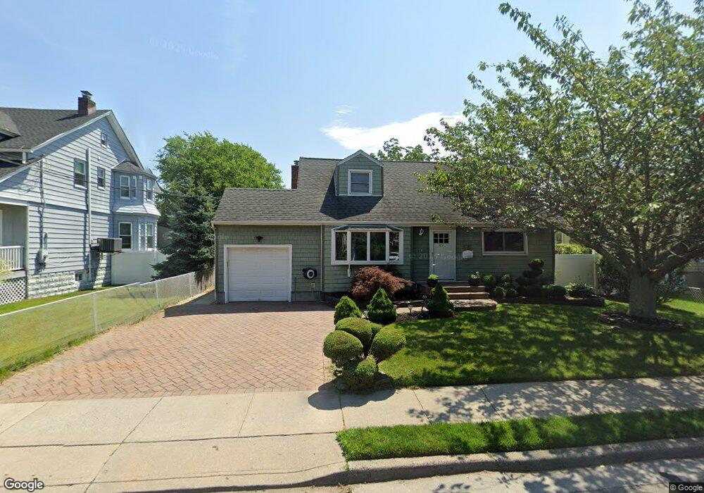
89 Nassau Ave Freeport, NY 11520
Estimated Value: $613,873 - $664,000
--
Bed
2
Baths
1,639
Sq Ft
$390/Sq Ft
Est. Value
About This Home
This home is located at 89 Nassau Ave, Freeport, NY 11520 and is currently estimated at $638,937, approximately $389 per square foot. 89 Nassau Ave is a home located in Nassau County with nearby schools including Columbus Avenue School, Caroline G. Atkinson Intermediate School, and John W Dodd Middle School.
Ownership History
Date
Name
Owned For
Owner Type
Purchase Details
Closed on
Jul 7, 2006
Sold by
Noble Jon-Holcomb
Bought by
Lora Sandy
Current Estimated Value
Purchase Details
Closed on
May 14, 2001
Sold by
Mayo Derrick A
Bought by
Wolf Lisa
Purchase Details
Closed on
Dec 10, 1999
Sold by
Punch Kevin V and Punch Donna L
Bought by
Mayo Derrick A and Williams Chantell M
Home Financials for this Owner
Home Financials are based on the most recent Mortgage that was taken out on this home.
Original Mortgage
$199,852
Interest Rate
7.61%
Mortgage Type
Purchase Money Mortgage
Create a Home Valuation Report for This Property
The Home Valuation Report is an in-depth analysis detailing your home's value as well as a comparison with similar homes in the area
Home Values in the Area
Average Home Value in this Area
Purchase History
| Date | Buyer | Sale Price | Title Company |
|---|---|---|---|
| Lora Sandy | $410,000 | -- | |
| Wolf Lisa | $235,000 | Brendan Twomey Esq | |
| Mayo Derrick A | $201,500 | -- |
Source: Public Records
Mortgage History
| Date | Status | Borrower | Loan Amount |
|---|---|---|---|
| Previous Owner | Mayo Derrick A | $199,852 |
Source: Public Records
Tax History Compared to Growth
Tax History
| Year | Tax Paid | Tax Assessment Tax Assessment Total Assessment is a certain percentage of the fair market value that is determined by local assessors to be the total taxable value of land and additions on the property. | Land | Improvement |
|---|---|---|---|---|
| 2025 | $8,582 | $398 | $169 | $229 |
| 2024 | $887 | $398 | $169 | $229 |
| 2023 | $8,629 | $398 | $169 | $229 |
| 2022 | $8,629 | $398 | $169 | $229 |
| 2021 | $12,837 | $381 | $162 | $219 |
| 2020 | $8,882 | $572 | $395 | $177 |
| 2019 | $8,418 | $572 | $395 | $177 |
| 2018 | $8,282 | $572 | $0 | $0 |
| 2017 | $6,884 | $572 | $395 | $177 |
| 2016 | $7,742 | $572 | $376 | $196 |
| 2015 | $826 | $572 | $376 | $196 |
| 2014 | $826 | $572 | $376 | $196 |
| 2013 | $820 | $601 | $395 | $206 |
Source: Public Records
Map
Nearby Homes
- 119 S Bay Ave
- 310 Miller Ave
- 494 S Ocean Ave Unit 1H
- 494 S Ocean Ave Unit 3A
- 322 Miller Ave
- 173 Cedar St
- 31 Casino St Unit PH
- 374 Miller Ave
- 209 Nassau Ave
- 120 Sportsmans Ave
- 177 Sportsmans Ave
- 208 Sportsmans Ave
- 193 Sportsmans Ave
- 48 Saint Marks Ave
- 171 Westside Ave
- 252 Arthur St
- 232 Nassau Ave
- 570 S Ocean Ave
- 243 Sportsmans Ave
- 159 Southside Ave