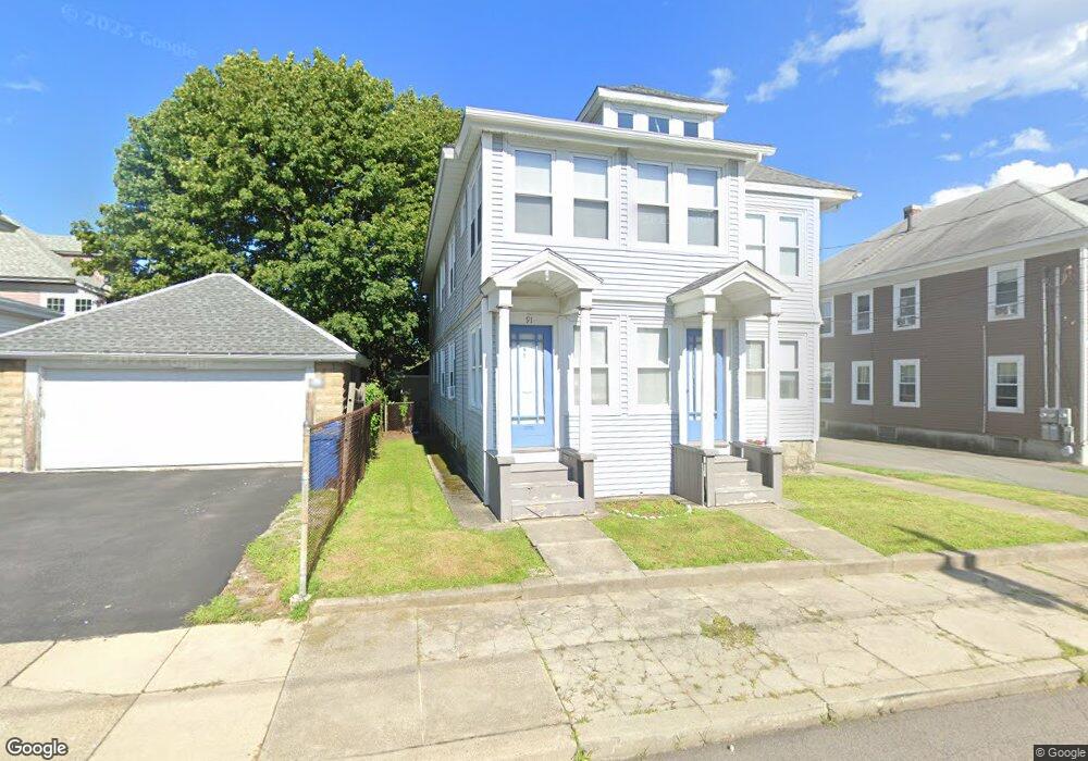
89 Nesmith St Unit 91 Lawrence, MA 01841
Tower Hill NeighborhoodEstimated Value: $719,100 - $885,000
6
Beds
2
Baths
3,156
Sq Ft
$263/Sq Ft
Est. Value
About This Home
This home is located at 89 Nesmith St Unit 91, Lawrence, MA 01841 and is currently estimated at $831,525, approximately $263 per square foot. 89 Nesmith St Unit 91 is a home located in Essex County with nearby schools including Gerard A. Guilmette School, School For Exceptional Studies, and Lawrence Family Development Charter School.
Ownership History
Date
Name
Owned For
Owner Type
Purchase Details
Closed on
Mar 30, 1995
Sold by
Ge Capital Asset Mgmt
Bought by
Sicard Alan J
Current Estimated Value
Purchase Details
Closed on
Nov 15, 1989
Sold by
Rroman Evea
Bought by
Waite Laurel
Home Financials for this Owner
Home Financials are based on the most recent Mortgage that was taken out on this home.
Original Mortgage
$141,750
Interest Rate
9.97%
Mortgage Type
Purchase Money Mortgage
Create a Home Valuation Report for This Property
The Home Valuation Report is an in-depth analysis detailing your home's value as well as a comparison with similar homes in the area
Home Values in the Area
Average Home Value in this Area
Purchase History
| Date | Buyer | Sale Price | Title Company |
|---|---|---|---|
| Sicard Alan J | $52,500 | -- | |
| Ge Capital Asset Mgmt | $146,408 | -- | |
| Waite Laurel | $157,500 | -- |
Source: Public Records
Mortgage History
| Date | Status | Borrower | Loan Amount |
|---|---|---|---|
| Open | Waite Laurel | $49,999 | |
| Closed | Waite Laurel | $69,000 | |
| Previous Owner | Waite Laurel | $141,750 |
Source: Public Records
Tax History
| Year | Tax Paid | Tax Assessment Tax Assessment Total Assessment is a certain percentage of the fair market value that is determined by local assessors to be the total taxable value of land and additions on the property. | Land | Improvement |
|---|---|---|---|---|
| 2025 | $6,405 | $727,800 | $127,300 | $600,500 |
| 2024 | $5,946 | $642,800 | $123,100 | $519,700 |
| 2023 | $6,148 | $605,100 | $107,800 | $497,300 |
| 2022 | $5,427 | $474,400 | $100,100 | $374,300 |
| 2021 | $5,288 | $431,000 | $100,100 | $330,900 |
| 2020 | $4,963 | $399,300 | $84,900 | $314,400 |
| 2019 | $5,153 | $376,700 | $73,500 | $303,200 |
| 2018 | $5,011 | $349,900 | $70,200 | $279,700 |
| 2017 | $4,541 | $296,000 | $67,800 | $228,200 |
| 2016 | $4,606 | $297,000 | $48,200 | $248,800 |
| 2015 | $4,353 | $287,900 | $48,200 | $239,700 |
Source: Public Records
Map
Nearby Homes
- 1082 Essex St
- 1100 Essex St
- 1008 Essex St Unit 1010
- 1146 Essex St
- 19 Oregon Ave
- 18 Doyle St
- 95 Hancock St
- 42-44 Cypress Ave
- 70 Butler St
- 13 Caswell Ave
- 312 Water St Unit 4
- 88-90 Columbus Ave
- 14-16 Cypress Ave
- 15 Crescent St Unit D
- 499 Haverhill St
- 50 Forest St
- 76 Haverhill St
- 37 Tewksbury St Unit 39
- 82 Water St
- 202 Broadway Unit 3-3
- 85 Nesmith St Unit 87
- 49 Pearl St Unit 51
- 1058 Essex St Unit 1060
- 1062 Essex St
- 1062 Essex St Unit 2
- 1054 Essex St Unit 1056
- 74 Nesmith St Unit 76
- 45 Pearl St Unit 47
- 78 Nesmith St Unit 80
- 79 Nesmith St Unit 81
- 82-84 Nesmith St
- 82 Nesmith St Unit 84
- 74-76 Nesmith St
- 54 Hobson St Unit 56
- 54-56 Hobson St
- 1046 Essex St
- 41 Pearl St Unit 43
- 88 Nesmith St
- 70-72 Nesmith St
- 70 Nesmith St Unit 72
Your Personal Tour Guide
Ask me questions while you tour the home.