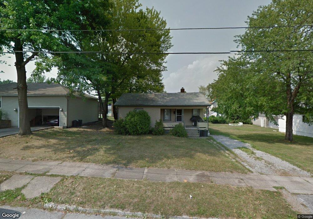
89 Omar St Struthers, OH 44471
Estimated Value: $95,000 - $128,000
3
Beds
1
Bath
1,080
Sq Ft
$103/Sq Ft
Est. Value
About This Home
This home is located at 89 Omar St, Struthers, OH 44471 and is currently estimated at $111,267, approximately $103 per square foot. 89 Omar St is a home located in Mahoning County with nearby schools including Mckamy Elementary School, Carrollton Elementary School, and Lovett Elementary School.
Ownership History
Date
Name
Owned For
Owner Type
Purchase Details
Closed on
Feb 29, 2024
Sold by
Klacik Michael D
Bought by
Bigley Real Estate Investments Llc
Current Estimated Value
Purchase Details
Closed on
Aug 9, 2022
Bought by
Klacik Michael D
Purchase Details
Closed on
Dec 13, 2002
Sold by
King Carol A and Mcbride Barbara A
Bought by
Klacik Michael D and Klacik Linda S
Home Financials for this Owner
Home Financials are based on the most recent Mortgage that was taken out on this home.
Original Mortgage
$23,200
Interest Rate
6.37%
Create a Home Valuation Report for This Property
The Home Valuation Report is an in-depth analysis detailing your home's value as well as a comparison with similar homes in the area
Home Values in the Area
Average Home Value in this Area
Purchase History
| Date | Buyer | Sale Price | Title Company |
|---|---|---|---|
| Bigley Real Estate Investments Llc | $100,000 | None Listed On Document | |
| Klacik Michael D | -- | -- | |
| Klacik Michael D | $29,000 | -- |
Source: Public Records
Mortgage History
| Date | Status | Borrower | Loan Amount |
|---|---|---|---|
| Previous Owner | Klacik Michael D | $23,200 |
Source: Public Records
Tax History Compared to Growth
Tax History
| Year | Tax Paid | Tax Assessment Tax Assessment Total Assessment is a certain percentage of the fair market value that is determined by local assessors to be the total taxable value of land and additions on the property. | Land | Improvement |
|---|---|---|---|---|
| 2024 | $1,113 | $26,120 | $4,200 | $21,920 |
| 2023 | $1,094 | $26,120 | $4,200 | $21,920 |
| 2022 | $808 | $14,590 | $2,950 | $11,640 |
| 2021 | $802 | $14,590 | $2,950 | $11,640 |
| 2020 | $805 | $14,590 | $2,950 | $11,640 |
| 2019 | $772 | $12,690 | $2,570 | $10,120 |
| 2018 | $738 | $12,690 | $2,570 | $10,120 |
| 2017 | $781 | $12,690 | $2,570 | $10,120 |
| 2016 | $826 | $14,600 | $3,000 | $11,600 |
| 2015 | $848 | $14,600 | $3,000 | $11,600 |
| 2014 | $810 | $14,600 | $3,000 | $11,600 |
| 2013 | $755 | $14,600 | $3,000 | $11,600 |
Source: Public Records
Map
Nearby Homes
- 106 Renee Dr
- 59 Harvey St
- 0 Smithfield St Unit 4336782
- 531 Audrey Ln
- 19 Renee Dr
- 34 Iroquois St
- 97 Overlook Blvd
- 250 E Manor Ave
- 42 Wilson St
- 93 Morrison St
- 155 Morrison St
- 2541 W Manor Ave
- 180 Poland Ave
- 795 5th St
- 25 Lakeshore Dr
- 78 Sexton St
- 18 W Faith St
- 0 Center St Unit 5021584
- 0 Center St Unit 5021587
- 0 Center St Unit 5021580