89 Overlook Dr Carlisle, MA 01741
Estimated Value: $1,507,000 - $2,322,000
3
Beds
4
Baths
4,174
Sq Ft
$430/Sq Ft
Est. Value
About This Home
This home is located at 89 Overlook Dr, Carlisle, MA 01741 and is currently estimated at $1,796,358, approximately $430 per square foot. 89 Overlook Dr is a home located in Middlesex County with nearby schools including Carlisle School.
Ownership History
Date
Name
Owned For
Owner Type
Purchase Details
Closed on
Dec 3, 1996
Sold by
Rutland Hts Dev Trust and Bishop Leslie C
Bought by
Fay Jon A and Fay Elissa M
Current Estimated Value
Home Financials for this Owner
Home Financials are based on the most recent Mortgage that was taken out on this home.
Original Mortgage
$207,000
Interest Rate
7.82%
Mortgage Type
Purchase Money Mortgage
Create a Home Valuation Report for This Property
The Home Valuation Report is an in-depth analysis detailing your home's value as well as a comparison with similar homes in the area
Home Values in the Area
Average Home Value in this Area
Purchase History
| Date | Buyer | Sale Price | Title Company |
|---|---|---|---|
| Fay Jon A | $565,383 | -- |
Source: Public Records
Mortgage History
| Date | Status | Borrower | Loan Amount |
|---|---|---|---|
| Open | Fay Jon A | $399,200 | |
| Closed | Fay Jon A | $207,000 |
Source: Public Records
Tax History Compared to Growth
Tax History
| Year | Tax Paid | Tax Assessment Tax Assessment Total Assessment is a certain percentage of the fair market value that is determined by local assessors to be the total taxable value of land and additions on the property. | Land | Improvement |
|---|---|---|---|---|
| 2025 | $19,452 | $1,475,900 | $623,100 | $852,800 |
| 2024 | $20,170 | $1,513,100 | $557,700 | $955,400 |
| 2023 | $18,289 | $1,292,500 | $524,200 | $768,300 |
| 2022 | $17,709 | $1,073,300 | $448,400 | $624,900 |
| 2021 | $17,473 | $1,073,300 | $448,400 | $624,900 |
| 2020 | $18,578 | $1,011,900 | $383,100 | $628,800 |
| 2019 | $18,162 | $993,000 | $383,100 | $609,900 |
| 2018 | $18,043 | $993,000 | $383,100 | $609,900 |
| 2017 | $17,294 | $981,500 | $383,100 | $598,400 |
| 2016 | $16,882 | $981,500 | $383,100 | $598,400 |
| 2015 | $16,207 | $853,000 | $365,600 | $487,400 |
| 2014 | $15,900 | $853,000 | $365,600 | $487,400 |
Source: Public Records
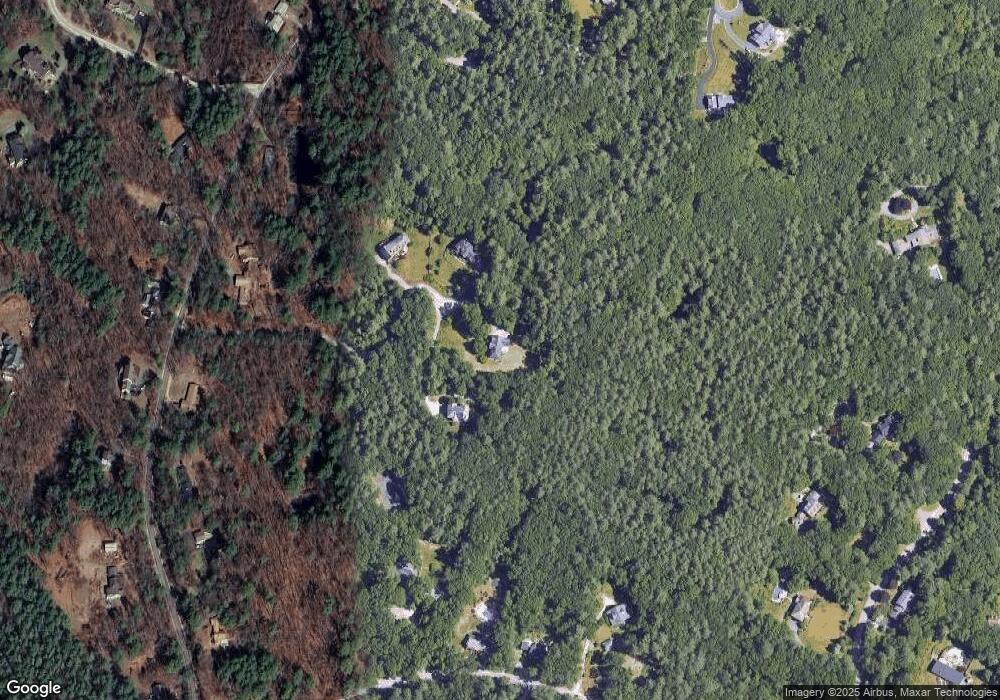
Map
Nearby Homes
- 3 Kay's Walk
- 15 Kay's Walk
- 1 Kay's Walk Unit 1
- 1 Kay's Walk
- 13 Kay's Walk
- 15 Kay's Walk Unit 4
- 3 Kay's Walk Unit 3
- 8 Kay's Walk Unit 13
- 14 Kay's Walk
- 6 Kay's Walk Unit 6
- 6 Kay's Walk
- 2 Kay's Walk Unit 18
- 4 Kay's Walk Unit 15
- 383 E Riding Dr
- 373 E Riding Dr
- 282 Brook St
- 225 Lowell St
- 4 Dove Ln
- 198 Nashua Rd
- 11 Simonds Farm Rd
- 86 Overlook Dr
- 79 Overlook Dr
- 71 Overlook Dr
- 0 Lot D Overlook Dr Unit 50330004
- 0 Lot E Overlook Terrace Unit 50317623
- 637 East St
- 685 East St
- 186 Rutland St
- 651 East St
- 683 East St
- 667 East St
- 114 Rutland St
- 84 Rutland St
- 42 Calderwood Way
- 42,Lot C1 Calderwood Way
- 62 Rutland St
- 82 Chestnut Ln
- 139 Rutland St
- 71 Nickles Ln
- 161 Rutland St