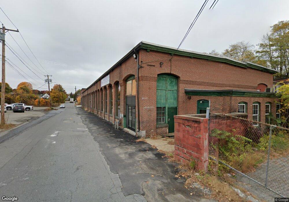
89 Parker St Clinton, MA 01510
Studio
2
Baths
25,000
Sq Ft
0.75
Acres
About This Home
This home is located at 89 Parker St, Clinton, MA 01510. 89 Parker St is a home located in Worcester County with nearby schools including Clinton Elementary School, Clinton Senior High School, and Clinton Middle School.
Ownership History
Date
Name
Owned For
Owner Type
Purchase Details
Closed on
Aug 22, 2022
Sold by
Cig C & F Center Llc
Bought by
Krd Growers Propco Llc
Home Financials for this Owner
Home Financials are based on the most recent Mortgage that was taken out on this home.
Original Mortgage
$1,218,750
Outstanding Balance
$1,158,833
Interest Rate
5.51%
Mortgage Type
Purchase Money Mortgage
Purchase Details
Closed on
Sep 20, 2017
Sold by
Lemoine Enterprises Ll
Bought by
Cig C & F Llc
Home Financials for this Owner
Home Financials are based on the most recent Mortgage that was taken out on this home.
Original Mortgage
$500,000
Interest Rate
3.9%
Mortgage Type
Commercial
Purchase Details
Closed on
Jan 3, 2003
Sold by
Parker St Perforating
Bought by
Lemoine Enterprises Ll
Home Financials for this Owner
Home Financials are based on the most recent Mortgage that was taken out on this home.
Original Mortgage
$275,000
Interest Rate
6.08%
Mortgage Type
Commercial
Create a Home Valuation Report for This Property
The Home Valuation Report is an in-depth analysis detailing your home's value as well as a comparison with similar homes in the area
Home Values in the Area
Average Home Value in this Area
Purchase History
| Date | Buyer | Sale Price | Title Company |
|---|---|---|---|
| Krd Growers Propco Llc | $1,632,000 | None Available | |
| Cig C & F Llc | $50,000 | -- | |
| Lemoine Enterprises Ll | $320,000 | -- |
Source: Public Records
Mortgage History
| Date | Status | Borrower | Loan Amount |
|---|---|---|---|
| Open | Krd Growers Propco Llc | $1,218,750 | |
| Previous Owner | Cig C & F Llc | $500,000 | |
| Previous Owner | Lemoine Enterprises Ll | $275,000 |
Source: Public Records
Tax History
| Year | Tax Paid | Tax Assessment Tax Assessment Total Assessment is a certain percentage of the fair market value that is determined by local assessors to be the total taxable value of land and additions on the property. | Land | Improvement |
|---|---|---|---|---|
| 2025 | $43,849 | $1,990,400 | $133,400 | $1,857,000 |
| 2024 | $43,411 | $1,990,400 | $133,400 | $1,857,000 |
| 2023 | $27,312 | $1,218,200 | $134,200 | $1,084,000 |
| 2022 | $28,827 | $1,150,300 | $121,900 | $1,028,400 |
| 2021 | $13,767 | $508,000 | $121,900 | $386,100 |
| 2020 | $11,309 | $421,200 | $121,900 | $299,300 |
| 2019 | $11,080 | $392,900 | $112,800 | $280,100 |
| 2018 | $4,606 | $149,900 | $102,600 | $47,300 |
| 2017 | $12,751 | $399,100 | $102,600 | $296,500 |
| 2016 | $12,552 | $399,100 | $102,600 | $296,500 |
| 2015 | $13,152 | $421,000 | $99,700 | $321,300 |
| 2014 | $12,710 | $421,000 | $99,700 | $321,300 |
Source: Public Records
Map
Nearby Homes
- 719 Main St
- 57 Clark St
- 55 Sterling St Unit 306
- 55 Sterling St Unit 312
- 55 Sterling St Unit 314
- 55 Sterling St Unit 212
- 861 Main St
- 229 Sterling St
- 459 High St
- 5 Catherine St
- 508 High St
- 25 Pearl St
- 23 Ash St
- 93 Forest St
- 51 Rigby St
- 30 Henry St Unit 30B
- 0 Parker Rd
- 155 Cedar St
- 355 Main St
- 115117 Mechanic St Unit 4
Your Personal Tour Guide
Ask me questions while you tour the home.