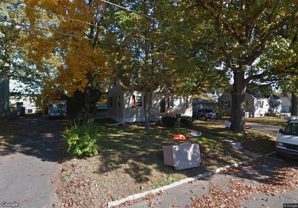
89 Raymond St Edison, NJ 08817
Estimated Value: $408,000 - $492,000
Studio
--
Bath
768
Sq Ft
$571/Sq Ft
Est. Value
About This Home
This home is located at 89 Raymond St, Edison, NJ 08817 and is currently estimated at $438,180, approximately $570 per square foot. 89 Raymond St is a home located in Middlesex County with nearby schools including Lindeneau Elementary School, Thomas Jefferson Middle School, and Edison High School.
Ownership History
Date
Name
Owned For
Owner Type
Purchase Details
Closed on
Jul 21, 1998
Sold by
Pilarikos Anthony
Bought by
Parsons Ralph and Parsons Joann
Current Estimated Value
Home Financials for this Owner
Home Financials are based on the most recent Mortgage that was taken out on this home.
Original Mortgage
$103,000
Interest Rate
6.92%
Create a Home Valuation Report for This Property
The Home Valuation Report is an in-depth analysis detailing your home's value as well as a comparison with similar homes in the area
Home Values in the Area
Average Home Value in this Area
Purchase History
| Date | Buyer | Sale Price | Title Company |
|---|---|---|---|
| Parsons Ralph | $109,000 | -- |
Source: Public Records
Mortgage History
| Date | Status | Borrower | Loan Amount |
|---|---|---|---|
| Previous Owner | Parsons Ralph | $103,000 |
Source: Public Records
Tax History
| Year | Tax Paid | Tax Assessment Tax Assessment Total Assessment is a certain percentage of the fair market value that is determined by local assessors to be the total taxable value of land and additions on the property. | Land | Improvement |
|---|---|---|---|---|
| 2025 | $7,525 | $126,400 | $75,000 | $51,400 |
| 2024 | $7,484 | $126,400 | $75,000 | $51,400 |
| 2023 | $7,484 | $126,400 | $75,000 | $51,400 |
| 2022 | $7,487 | $126,400 | $75,000 | $51,400 |
| 2021 | $7,461 | $126,400 | $75,000 | $51,400 |
| 2020 | $7,393 | $126,400 | $75,000 | $51,400 |
| 2019 | $7,114 | $126,400 | $75,000 | $51,400 |
| 2018 | $6,942 | $126,400 | $75,000 | $51,400 |
| 2017 | $6,792 | $126,400 | $75,000 | $51,400 |
| 2016 | $6,669 | $126,400 | $75,000 | $51,400 |
| 2015 | $6,414 | $126,400 | $75,000 | $51,400 |
| 2014 | $6,226 | $126,400 | $75,000 | $51,400 |
Source: Public Records
Map
Nearby Homes
- 40 Foyer St
- 46 Foyer St
- 15 York Dr Unit 2A
- 15 York Dr Unit 1B
- 21 York Dr Unit 3B
- 14 York Dr Unit 4B
- 6 York Dr Unit 5A
- 72 Fox Rd Unit 1B
- 78 Fox Rd Unit 2A
- 93 Fox Rd Unit 6A
- 93 Fox Rd Unit 2B
- 226 Wellington Place
- 65 Orange St
- 59 Oakland Ave
- 23 Morse Ave
- 45 Loring Ave
- 58 Fern St
- 111 Barnard St
- 14 Amherst St
- 9 Rolfe Ave
Your Personal Tour Guide
Ask me questions while you tour the home.