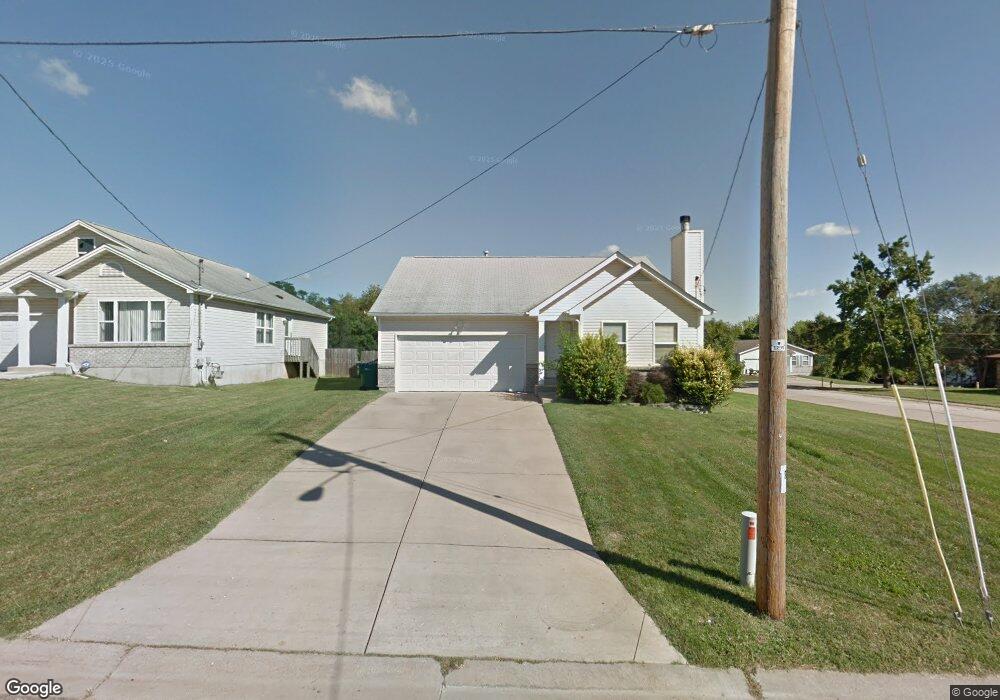
89 Reasnor Ave Saint Louis, MO 63119
Estimated Value: $305,000 - $320,000
3
Beds
2
Baths
1,242
Sq Ft
$251/Sq Ft
Est. Value
About This Home
This home is located at 89 Reasnor Ave, Saint Louis, MO 63119 and is currently estimated at $311,764, approximately $251 per square foot. 89 Reasnor Ave is a home located in St. Louis County with nearby schools including Bristol Elementary School, Hixson Middle School, and Webster Groves High School.
Ownership History
Date
Name
Owned For
Owner Type
Purchase Details
Closed on
Jul 26, 2005
Sold by
Hayes Tammy
Bought by
Moten Macarthur and Hayes Tammy
Current Estimated Value
Purchase Details
Closed on
Aug 31, 2000
Sold by
The Meyer Company
Bought by
Hayes Tammy
Home Financials for this Owner
Home Financials are based on the most recent Mortgage that was taken out on this home.
Original Mortgage
$71,800
Outstanding Balance
$33,426
Interest Rate
12.13%
Estimated Equity
$278,338
Create a Home Valuation Report for This Property
The Home Valuation Report is an in-depth analysis detailing your home's value as well as a comparison with similar homes in the area
Home Values in the Area
Average Home Value in this Area
Purchase History
| Date | Buyer | Sale Price | Title Company |
|---|---|---|---|
| Moten Macarthur | -- | Freedom Title Llc | |
| Hayes Tammy | $116,243 | -- |
Source: Public Records
Mortgage History
| Date | Status | Borrower | Loan Amount |
|---|---|---|---|
| Open | Hayes Tammy | $71,800 | |
| Closed | Hayes Tammy | $48,242 |
Source: Public Records
Tax History Compared to Growth
Tax History
| Year | Tax Paid | Tax Assessment Tax Assessment Total Assessment is a certain percentage of the fair market value that is determined by local assessors to be the total taxable value of land and additions on the property. | Land | Improvement |
|---|---|---|---|---|
| 2025 | $3,350 | $61,640 | $22,990 | $38,650 |
| 2024 | $3,350 | $47,880 | $17,250 | $30,630 |
| 2023 | $3,334 | $47,880 | $17,250 | $30,630 |
| 2022 | $3,133 | $41,740 | $14,360 | $27,380 |
| 2021 | $3,122 | $41,740 | $14,360 | $27,380 |
| 2020 | $3,065 | $38,170 | $11,460 | $26,710 |
| 2019 | $3,044 | $38,170 | $11,460 | $26,710 |
| 2018 | $2,864 | $31,870 | $7,090 | $24,780 |
| 2017 | $2,845 | $31,870 | $7,090 | $24,780 |
| 2016 | $2,603 | $27,910 | $6,140 | $21,770 |
| 2015 | $2,608 | $27,910 | $6,140 | $21,770 |
| 2014 | -- | $27,760 | $8,720 | $19,040 |
Source: Public Records
Map
Nearby Homes
- 1013 Bell Ave
- 827 Cornell Ave
- 901 Ennis Ave
- 814 Holland Ave
- 617 N Elm Ave
- 2935 Greentop Ct
- 2918 Wingate Ct
- 8908 W Pendleton Ave
- 546 Holland Ave
- 2904 Collier Ave
- 330 Lithia Ave
- 9239 Merritt Ave
- 218 Euclid Ave
- 2911 Brazeau Ave
- 2905 Brazeau Ave
- 2829 Brazeau Ave
- 112 Oakwood Ave
- 1106 N Rock Hill Rd
- 8828 Madge Ave
- 2517 Bremerton Rd
- 93 Reasnor Ave
- 2 E Allison Ave
- 97 Reasnor Ave
- 1019 Bell Ave
- 103 Reasnor Ave
- 90 Reasnor Ave
- 94 Reasnor Ave
- 98 Reasnor Ave
- 105 Reasnor Ave
- 7 E Allison Ave
- 102 Reasnor Ave
- 11 E Allison Ave
- 13 E Allison Ave
- 1 E Allison Ave
- 104 Reasnor Ave
- 103 Almentor Ave
- 109 Almentor Ave
- 4 W Waymire Ave
- 109 Reasnor Ave