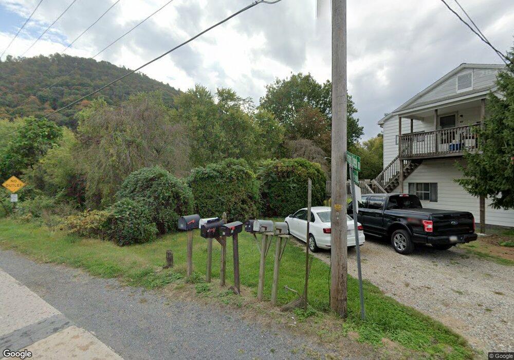
89 S Main St Duncannon, PA 17020
Estimated Value: $189,000 - $315,778
--
Bed
--
Bath
1,813
Sq Ft
$150/Sq Ft
Est. Value
About This Home
This home is located at 89 S Main St, Duncannon, PA 17020 and is currently estimated at $271,445, approximately $149 per square foot. 89 S Main St is a home located in Perry County with nearby schools including Susquenita Elementary School, Susquenita Middle School, and Susquenita High School.
Ownership History
Date
Name
Owned For
Owner Type
Purchase Details
Closed on
Dec 1, 2017
Sold by
Megonnell Douglas E and Megonnell Erin R
Bought by
Megonnell Douglas E
Current Estimated Value
Purchase Details
Closed on
Feb 1, 2011
Sold by
Megonnell Douglas E and Megonnell Erin R
Bought by
Megonnell Douglas E and Megonnell Erin R
Home Financials for this Owner
Home Financials are based on the most recent Mortgage that was taken out on this home.
Original Mortgage
$203,501
Outstanding Balance
$139,515
Interest Rate
4.82%
Mortgage Type
VA
Estimated Equity
$131,930
Purchase Details
Closed on
Jun 30, 2006
Sold by
Robinson Robert R
Bought by
Megonnell Douglas E and Green Erin
Home Financials for this Owner
Home Financials are based on the most recent Mortgage that was taken out on this home.
Original Mortgage
$163,200
Interest Rate
6.58%
Mortgage Type
FHA
Create a Home Valuation Report for This Property
The Home Valuation Report is an in-depth analysis detailing your home's value as well as a comparison with similar homes in the area
Home Values in the Area
Average Home Value in this Area
Purchase History
| Date | Buyer | Sale Price | Title Company |
|---|---|---|---|
| Megonnell Douglas E | -- | None Available | |
| Megonnell Douglas E | -- | Liberty Title Company | |
| Megonnell Douglas E | $65,000 | None Available |
Source: Public Records
Mortgage History
| Date | Status | Borrower | Loan Amount |
|---|---|---|---|
| Open | Megonnell Douglas E | $203,501 | |
| Closed | Megonnell Douglas E | $163,200 |
Source: Public Records
Tax History Compared to Growth
Tax History
| Year | Tax Paid | Tax Assessment Tax Assessment Total Assessment is a certain percentage of the fair market value that is determined by local assessors to be the total taxable value of land and additions on the property. | Land | Improvement |
|---|---|---|---|---|
| 2025 | $3,415 | $178,100 | $52,400 | $125,700 |
| 2024 | $3,314 | $178,100 | $52,400 | $125,700 |
| 2023 | $3,291 | $178,100 | $52,400 | $125,700 |
| 2022 | $3,382 | $178,100 | $52,400 | $125,700 |
| 2021 | $3,352 | $178,100 | $52,400 | $125,700 |
| 2020 | $3,152 | $178,100 | $52,400 | $125,700 |
| 2019 | $3,197 | $178,100 | $52,400 | $125,700 |
| 2018 | $3,196 | $178,100 | $52,400 | $125,700 |
| 2017 | $3,194 | $178,100 | $52,400 | $125,700 |
| 2016 | -- | $178,100 | $52,400 | $125,700 |
| 2015 | -- | $178,100 | $52,400 | $125,700 |
| 2014 | $2,863 | $178,100 | $52,400 | $125,700 |
Source: Public Records
Map
Nearby Homes
- 0 Inn Rd
- 303 New Bloomfield Rd
- 0 Unit WP001
- 68 S Main St
- 14 Center St
- 15 Locust St
- 105 Ann St
- 175 Dellville Rd
- 125 N Market St
- 226 N Market St
- 125 Cherry St
- 422 N High St
- 621 Lincoln St
- 104 Butchershop Rd
- 23 Frisch Dr
- 8 Princeton St
- 609 Schoolhouse Rd
- 0 Estates Unit PAPY2007360
- 1010 N Lincoln St
- 1103 N High St
- 99 Main St
- 0 Sherman's Creek Rd Unit PAPY2001974
- 91 S Main St
- 3 Orchard Hill Dr
- 87 Main St
- 5 Orchard Hill Dr
- 1 Orchard Hill Dr
- 0 Private Rd Unit 1002741675
- 0 Private Rd Unit 10170379
- 24 Peewee Ln
- 22 Peewee Ln
- 26 Peewee Ln
- 14 Pee Wee Ln
- 301 New Bloomfield Rd
- 9 Little Boston Rd
- 22 Watershed Dr
- 299 New Bloomfield Rd
- 20 Watershed Dr
- LOT 14 Penn Ln
- 12 Peewee Ln