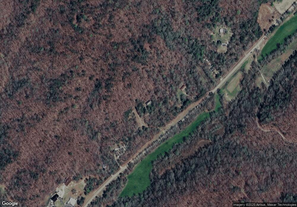
89 Sarahs Cir Dahlonega, GA 30533
Estimated Value: $467,000 - $608,000
--
Bed
3
Baths
2,912
Sq Ft
$181/Sq Ft
Est. Value
About This Home
This home is located at 89 Sarahs Cir, Dahlonega, GA 30533 and is currently estimated at $527,083, approximately $181 per square foot. 89 Sarahs Cir is a home located in Lumpkin County with nearby schools including Lumpkin County High School.
Ownership History
Date
Name
Owned For
Owner Type
Purchase Details
Closed on
Dec 7, 2017
Sold by
Lehr Ralph Ridgway
Bought by
Liv Lehr Ralph Ridgway
Current Estimated Value
Purchase Details
Closed on
Jun 13, 2005
Sold by
Allgary Hilton D
Bought by
Swilley Grover C and Serafin Robert J
Home Financials for this Owner
Home Financials are based on the most recent Mortgage that was taken out on this home.
Original Mortgage
$154,704
Interest Rate
5.7%
Mortgage Type
New Conventional
Purchase Details
Closed on
Apr 20, 2005
Sold by
Allgary Hilton
Bought by
Keri Lynn Mcdonald
Home Financials for this Owner
Home Financials are based on the most recent Mortgage that was taken out on this home.
Original Mortgage
$154,704
Interest Rate
5.7%
Mortgage Type
New Conventional
Purchase Details
Closed on
Sep 18, 1989
Sold by
Allgary Hilton D
Bought by
Allgary Hilton D
Create a Home Valuation Report for This Property
The Home Valuation Report is an in-depth analysis detailing your home's value as well as a comparison with similar homes in the area
Home Values in the Area
Average Home Value in this Area
Purchase History
| Date | Buyer | Sale Price | Title Company |
|---|---|---|---|
| Liv Lehr Ralph Ridgway | -- | -- | |
| Lehr Ralph Ridgway | -- | -- | |
| Swilley Grover C | $183,300 | -- | |
| Keri Lynn Mcdonald | -- | -- | |
| Allgary Hilton D | $2,500 | -- |
Source: Public Records
Mortgage History
| Date | Status | Borrower | Loan Amount |
|---|---|---|---|
| Previous Owner | Swilley Grover C | $154,704 |
Source: Public Records
Tax History Compared to Growth
Tax History
| Year | Tax Paid | Tax Assessment Tax Assessment Total Assessment is a certain percentage of the fair market value that is determined by local assessors to be the total taxable value of land and additions on the property. | Land | Improvement |
|---|---|---|---|---|
| 2024 | $2,649 | $112,600 | $40,433 | $72,167 |
| 2023 | $2,435 | $103,523 | $36,757 | $66,766 |
| 2022 | $2,251 | $90,920 | $30,632 | $60,288 |
| 2021 | $2,032 | $79,378 | $30,632 | $48,746 |
| 2020 | $2,018 | $76,501 | $29,353 | $47,148 |
| 2019 | $2,037 | $76,501 | $29,353 | $47,148 |
| 2018 | $2,006 | $70,704 | $29,353 | $41,351 |
| 2017 | $2,036 | $70,382 | $29,353 | $41,029 |
| 2016 | $1,921 | $64,224 | $29,353 | $34,871 |
| 2015 | $1,723 | $64,224 | $29,353 | $34,871 |
| 2014 | $1,723 | $65,349 | $29,353 | $35,996 |
| 2013 | -- | $66,474 | $29,352 | $37,121 |
Source: Public Records
Map
Nearby Homes
- 0 Gold View Dr
- 247 Perkins Rd
- 422 Gold Crest Dr
- 668 Gold Cove Dr
- 245 Perkins Rd
- 205 Perkins Rd
- 201 Perkins Rd
- 209 Perkins Rd
- 0 Gold Crest Dr Unit 7623108
- 0 Gold Crest Dr Unit 10373986
- 2041 Long Branch Rd Unit TRACT 2A
- 2041 Long Branch Rd
- 1190 Winters Mountain Rd
- 1364 Birch River Dr
- 48 Kasten Run
- 1259 Birch River Dr
- 1228 Winters Mountain Rd
- 260 Holly Ln
- 483 Winters Mountain Rd
- 72 Rustin Ridge Unit 276
- 42 Clinton Dr
- 3135 Long Branch Rd
- 2837 Long Branch Rd
- 0 Deaver Rd Unit TR 3 3262169
- 0 F C Collins Dr Unit 7251156
- 0 F C Collins Dr Unit 7154458
- 0 F C Collins Dr
- 3205 Long Branch Rd
- 207 Azalea Ridge
- 2172 Long Branch Rd
- 2693 Long Branch Rd
- 252 Azalea Ridge Unit 2
- 252 Azalea Ridge
- 2745 Long Branch Rd
- 3377 Long Branch Rd
- 99 Azalea Ridge
- 298 Azalea Ridge
- 961 Azalea Ridge
- 300 Azalea Ridge
- 35 Azalea Ridge
