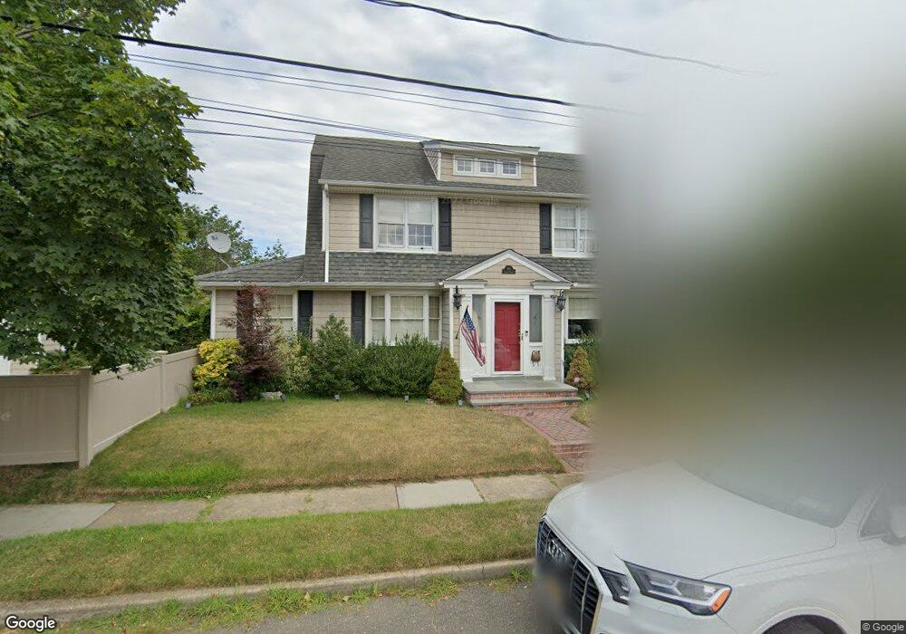
89 Sherman St Lynbrook, NY 11563
Estimated Value: $806,294 - $863,000
3
Beds
2
Baths
1,688
Sq Ft
$494/Sq Ft
Est. Value
About This Home
This home is located at 89 Sherman St, Lynbrook, NY 11563 and is currently estimated at $834,647, approximately $494 per square foot. 89 Sherman St is a home located in Nassau County with nearby schools including Lynbrook Senior High School, Our Lady Of Peace School, and Our Lady of Lourdes School.
Ownership History
Date
Name
Owned For
Owner Type
Purchase Details
Closed on
Apr 23, 2015
Sold by
Elberle Eugene T and Eberle Jeanne M
Bought by
Palma James and Palma Lisa
Current Estimated Value
Home Financials for this Owner
Home Financials are based on the most recent Mortgage that was taken out on this home.
Original Mortgage
$395,000
Outstanding Balance
$304,299
Interest Rate
3.76%
Mortgage Type
New Conventional
Estimated Equity
$530,348
Purchase Details
Closed on
Oct 19, 1995
Sold by
Weiser David and Weiser Doreen
Bought by
Eberle Eugene and Eberle Jeanne
Home Financials for this Owner
Home Financials are based on the most recent Mortgage that was taken out on this home.
Original Mortgage
$218,000
Interest Rate
7.53%
Create a Home Valuation Report for This Property
The Home Valuation Report is an in-depth analysis detailing your home's value as well as a comparison with similar homes in the area
Home Values in the Area
Average Home Value in this Area
Purchase History
| Date | Buyer | Sale Price | Title Company |
|---|---|---|---|
| Palma James | $475,000 | Judicial Title | |
| Eberle Eugene | $229,500 | -- |
Source: Public Records
Mortgage History
| Date | Status | Borrower | Loan Amount |
|---|---|---|---|
| Open | Palma James | $395,000 | |
| Previous Owner | Eberle Eugene | $218,000 |
Source: Public Records
Tax History
| Year | Tax Paid | Tax Assessment Tax Assessment Total Assessment is a certain percentage of the fair market value that is determined by local assessors to be the total taxable value of land and additions on the property. | Land | Improvement |
|---|---|---|---|---|
| 2025 | $12,736 | $552 | $229 | $323 |
| 2024 | $1,200 | $552 | $229 | $323 |
Source: Public Records
Map
Nearby Homes
- 29 Summit Ave
- 103 Smith St Unit 1
- 127 Smith St
- 181 Walnut St
- 57 Nieman Ave
- 75 Noble St Unit 121
- 157 Hempstead Ave Unit B20
- 175 Hempstead Ave
- 90 Pearsall Ave
- 40 Hendrickson Ave
- 64 Hodson Ave
- 20 Daley Place Unit 128
- 30 Daley Place Unit 136
- 30 Daley Place Unit 247
- 20 Daley Place Unit 225
- 30 Daley Place Unit 146
- 2 Fowler Ave Unit 206
- 2 Fowler Ave Unit 228
- 40 Daley Place Unit 124
- 40 Daley Place Unit 227
Your Personal Tour Guide
Ask me questions while you tour the home.