Estimated Value: $2,976,692
--
Bed
--
Bath
13,318
Sq Ft
$224/Sq Ft
Est. Value
About This Home
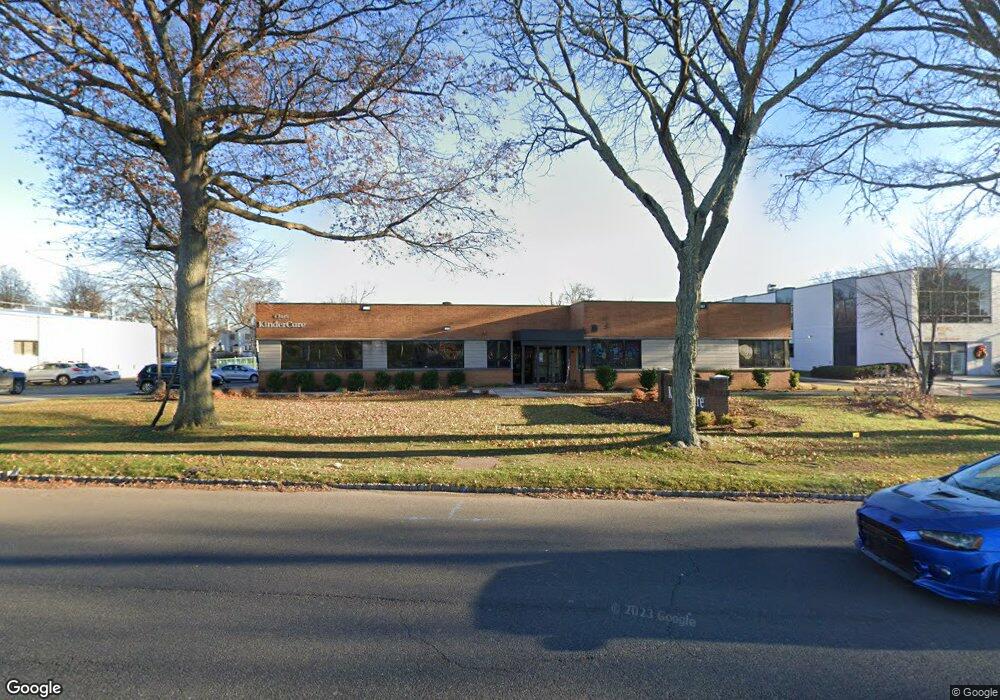
This home is located at 89 Terminal Ave, Clark, NJ 07066 and is currently estimated at $2,976,692, approximately $223 per square foot. 89 Terminal Ave is a home with nearby schools including Frank K. Hehnly Elementary School, Carl H. Kumpf Middle School, and Arthur L. Johnson High School.
Ownership History
Date
Name
Owned For
Owner Type
Purchase Details
Closed on
Dec 11, 2024
Sold by
Ccc 89 Llc
Bought by
Ang Terminal Ave Llc
Current Estimated Value
Purchase Details
Closed on
Oct 8, 2015
Sold by
Feil Clark Terminal Associates Llc
Bought by
Ccc 89 Llc
Purchase Details
Closed on
Apr 21, 2008
Sold by
Villa Contracting Co Inc
Bought by
Feil Clark Terminal Associates Llc and Rcg Lv Clark Terminal Associates Llc
Create a Home Valuation Report for This Property
The Home Valuation Report is an in-depth analysis detailing your home's value as well as a comparison with similar homes in the area
Home Values in the Area
Average Home Value in this Area
Purchase History
| Date | Buyer | Sale Price | Title Company |
|---|---|---|---|
| Ang Terminal Ave Llc | $2,787,734 | First American Title | |
| Ang Terminal Ave Llc | -- | First American Title | |
| Ang Terminal Ave Llc | $2,787,734 | First American Title | |
| Ang Terminal Ave Llc | $2,787,734 | First American Title | |
| Ccc 89 Llc | $1,030,000 | -- | |
| Feil Clark Terminal Associates Llc | $920,000 | None Available |
Source: Public Records
Tax History Compared to Growth
Tax History
| Year | Tax Paid | Tax Assessment Tax Assessment Total Assessment is a certain percentage of the fair market value that is determined by local assessors to be the total taxable value of land and additions on the property. | Land | Improvement |
|---|---|---|---|---|
| 2025 | $38,404 | $1,734,600 | $505,000 | $1,229,600 |
| 2024 | $37,832 | $1,734,600 | $505,000 | $1,229,600 |
| 2023 | $37,832 | $1,734,600 | $505,000 | $1,229,600 |
| 2022 | $36,739 | $1,734,600 | $505,000 | $1,229,600 |
| 2021 | $35,116 | $395,000 | $146,000 | $249,000 |
| 2020 | $34,543 | $395,000 | $146,000 | $249,000 |
| 2019 | $34,195 | $395,000 | $146,000 | $249,000 |
| 2018 | $16,892 | $395,000 | $146,000 | $249,000 |
| 2017 | $16,622 | $395,000 | $146,000 | $249,000 |
| 2016 | $32,019 | $395,000 | $146,000 | $249,000 |
| 2015 | $31,695 | $395,000 | $146,000 | $249,000 |
| 2014 | $31,027 | $395,000 | $146,000 | $249,000 |
Source: Public Records
Map
Nearby Homes
- 106 Virginia St
- 17 Garside Place
- 1920 Boynton Ave
- 1508 Boulevard
- 118 Cambridge Rd
- 26 Manchester Dr
- 2 Byron Ct
- 22 Harwich Ct
- 47 Florence Dr
- 631 Kensington Dr
- 1283 Rahway Ave
- 81 White Place
- 213 Welch Way
- 18 Colin Kelly St
- 16 Manchester Dr
- 38 Yarmouth Ct Unit Y38
- 279 Madison Hill Rd
- 54 White Place
- 10 Alan O Kell Place
- 12 Bartell Place