89 Turkey Point Ct Lagrange, GA 30240
Estimated Value: $242,574 - $558,000
3
Beds
2
Baths
1,864
Sq Ft
$181/Sq Ft
Est. Value
About This Home
This home is located at 89 Turkey Point Ct, Lagrange, GA 30240 and is currently estimated at $338,144, approximately $181 per square foot. 89 Turkey Point Ct is a home located in Troup County with nearby schools including Ethel W. Kight Elementary School, Hollis Hand Elementary School, and Franklin Forest Elementary School.
Ownership History
Date
Name
Owned For
Owner Type
Purchase Details
Closed on
Dec 8, 1999
Sold by
Best Cathy
Bought by
Jones Lucinda A
Current Estimated Value
Purchase Details
Closed on
Apr 28, 1994
Sold by
William R Best
Bought by
Best Cathy
Purchase Details
Closed on
Apr 27, 1994
Sold by
Anne Parker Pirozzi
Bought by
William R Best
Purchase Details
Closed on
Apr 26, 1994
Sold by
James T Pirozzi By Adm
Bought by
Anne Parker Pirozzi
Purchase Details
Closed on
Apr 15, 1991
Bought by
James T Pirozzi By Adm
Purchase Details
Closed on
Sep 15, 1989
Create a Home Valuation Report for This Property
The Home Valuation Report is an in-depth analysis detailing your home's value as well as a comparison with similar homes in the area
Purchase History
| Date | Buyer | Sale Price | Title Company |
|---|---|---|---|
| Jones Lucinda A | $106,400 | -- | |
| Best Cathy | -- | -- | |
| William R Best | -- | -- | |
| Anne Parker Pirozzi | $82,000 | -- | |
| James T Pirozzi By Adm | -- | -- | |
| -- | $85,900 | -- | |
| -- | $85,900 | -- |
Source: Public Records
Tax History
| Year | Tax Paid | Tax Assessment Tax Assessment Total Assessment is a certain percentage of the fair market value that is determined by local assessors to be the total taxable value of land and additions on the property. | Land | Improvement |
|---|---|---|---|---|
| 2025 | $2,320 | $85,080 | $18,000 | $67,080 |
| 2024 | $1,762 | $64,600 | $18,000 | $46,600 |
| 2023 | $1,767 | $64,800 | $18,000 | $46,800 |
| 2022 | $1,728 | $61,920 | $18,000 | $43,920 |
| 2021 | $1,475 | $48,920 | $10,000 | $38,920 |
| 2020 | $1,475 | $48,920 | $10,000 | $38,920 |
| 2019 | $1,483 | $49,160 | $10,000 | $39,160 |
| 2018 | $1,408 | $48,680 | $14,000 | $34,680 |
| 2017 | $1,408 | $48,680 | $14,000 | $34,680 |
| 2016 | $1,409 | $48,689 | $14,000 | $34,689 |
| 2015 | $1,411 | $48,689 | $14,000 | $34,689 |
| 2014 | $1,358 | $46,863 | $14,000 | $32,863 |
| 2013 | -- | $48,959 | $14,000 | $34,959 |
Source: Public Records
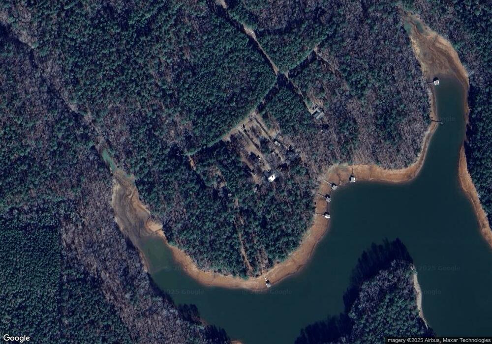
Map
Nearby Homes
- 163 Terri Rd
- 524 Williams Rd
- 511 Williams Rd
- 15 Williams Ct
- 0 Leisure Cove Dr Unit 10619411
- 226 Linda Ln
- 104 Dogwood Point
- 4004 White Oak Ln
- 213 Linda Ln
- 42 Deer Pointe Ct
- 205 Long Cove Dr
- 108 Stonebridge Ln
- 709 Vernon Ferry Rd
- 153 N Whatley Rd
- 4.5 ACRES Whatley Rd N
- 0 Deming St Unit 10550189
- 0 Salem Rd Tract 2 Unit 10675187
- 780 Sharman Rd
- 1100 County Road 442
- 40 River Point Dr
- 85 Turkey Point Ct
- 85 Turkey Creek Point
- 0 Turkey Creek Point Unit 7569077
- 107 Turkey Point Ct
- 71 Turkey Point Ct
- 59 Turkey Point Ct
- Lot 24 Turkey Point Ct
- 31 Turkey Point Ct
- 19 Turkey Point Ct
- 0 Turkey Point Ct Unit 8044029
- 0 Turkey Point Ct Unit 8044027
- 0 Turkey Point Ct Unit 8044023
- 0 Turkey Point Ct Unit 8044021
- 68 Turkey Point Dr
- 695 Turkey Point Dr
- 791 Turkey Point Dr
- 813 Turkey Point Dr
- 835 Turkey Point Dr
- 839 Turkey Point Dr
- 895 Turkey Point Dr
Your Personal Tour Guide
Ask me questions while you tour the home.