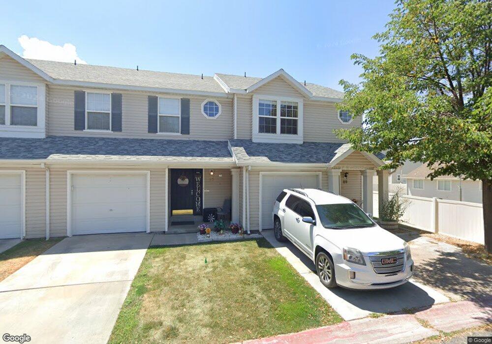
89 W 1930 N Unit 6E Tooele, UT 84074
Estimated Value: $297,000 - $313,000
3
Beds
2
Baths
1,306
Sq Ft
$235/Sq Ft
Est. Value
About This Home
This home is located at 89 W 1930 N Unit 6E, Tooele, UT 84074 and is currently estimated at $306,916, approximately $235 per square foot. 89 W 1930 N Unit 6E is a home located in Tooele County with nearby schools including Overlake Elementary School, Clarke N. Johnsen Junior High School, and Stansbury High School.
Ownership History
Date
Name
Owned For
Owner Type
Purchase Details
Closed on
Jan 28, 2021
Sold by
Scribner Douglas Mackenzie
Bought by
Douglas And Cecile Scribner Living Trust and Scribner
Current Estimated Value
Purchase Details
Closed on
Sep 14, 2010
Sold by
Scribner Douglas and Scribner Cecile
Bought by
Scribner Douglas M and Scribner Cecile J
Purchase Details
Closed on
Sep 30, 2009
Sold by
Fhas Llc
Bought by
Scribner Douglas and Scribner Cecile
Purchase Details
Closed on
Jun 1, 2006
Sold by
Newbold Matthew and Newbold Kristi
Bought by
Arizona Llc
Create a Home Valuation Report for This Property
The Home Valuation Report is an in-depth analysis detailing your home's value as well as a comparison with similar homes in the area
Home Values in the Area
Average Home Value in this Area
Purchase History
| Date | Buyer | Sale Price | Title Company |
|---|---|---|---|
| Douglas And Cecile Scribner Living Trust | -- | -- | |
| Scribner Douglas M | -- | None Available | |
| Scribner Douglas | -- | First American Title Insuran | |
| Arizona Llc | -- | Backman Title |
Source: Public Records
Tax History Compared to Growth
Tax History
| Year | Tax Paid | Tax Assessment Tax Assessment Total Assessment is a certain percentage of the fair market value that is determined by local assessors to be the total taxable value of land and additions on the property. | Land | Improvement |
|---|---|---|---|---|
| 2025 | $2,018 | $295,787 | $73,000 | $222,787 |
| 2024 | $2,168 | $160,315 | $55,000 | $105,315 |
| 2023 | $2,168 | $151,558 | $36,300 | $115,258 |
| 2022 | $1,389 | $114,750 | $41,250 | $73,500 |
| 2021 | $1,552 | $106,623 | $13,750 | $92,873 |
| 2020 | $1,464 | $177,126 | $25,000 | $152,126 |
| 2019 | $1,220 | $146,164 | $17,284 | $128,880 |
| 2018 | $1,036 | $118,104 | $15,000 | $103,104 |
| 2017 | $807 | $108,731 | $15,000 | $93,731 |
| 2016 | $649 | $53,078 | $8,250 | $44,828 |
| 2015 | $649 | $46,023 | $0 | $0 |
| 2014 | -- | $46,023 | $0 | $0 |
Source: Public Records
Map
Nearby Homes
- 1893 N 70 W
- 1893 N 70 W Unit 620
- 1885 N 70 W Unit 619
- 1877 N 70 W Unit 618
- 1909 N 70 W
- 1861 N 70 W Unit 616
- 81 W 1930 N
- 69 1930 N
- Drysdale Twinhomes Plan at Drysdale Twinhomes
- 2057 N Loxley Dr
- 2065 N Loxley Dr
- 1969 N 270 W
- 1778 Brett St
- 2117 N 170 W
- 61 W 1570 N
- 2155 N 170 W
- 2177 N 130 W
- 1913 N 370 W
- 295 Drysdale Way
- 1206 N Berra Blvd