89 Wilson Rd Cedartown, GA 30125
Estimated Value: $503,580 - $512,000
4
Beds
3
Baths
2,484
Sq Ft
$204/Sq Ft
Est. Value
About This Home
This home is located at 89 Wilson Rd, Cedartown, GA 30125 and is currently estimated at $507,790, approximately $204 per square foot. 89 Wilson Rd is a home located in Polk County.
Ownership History
Date
Name
Owned For
Owner Type
Purchase Details
Closed on
Jan 7, 2002
Sold by
Beck Jimmy R
Bought by
Beck Jimmy R and Beck April
Current Estimated Value
Purchase Details
Closed on
May 16, 1992
Sold by
Beck Jerry Ray
Bought by
Beck Jimmy Ray
Purchase Details
Closed on
Apr 25, 1988
Sold by
Coleman Margaret Exe
Bought by
Beck Jerry R and Beck Andra
Purchase Details
Closed on
May 5, 1977
Bought by
Coleman Nathan J
Create a Home Valuation Report for This Property
The Home Valuation Report is an in-depth analysis detailing your home's value as well as a comparison with similar homes in the area
Home Values in the Area
Average Home Value in this Area
Purchase History
| Date | Buyer | Sale Price | Title Company |
|---|---|---|---|
| Beck Jimmy R | -- | -- | |
| Beck Jimmy Ray | -- | -- | |
| Beck Jerry R | $3,000 | -- | |
| Coleman Nathan J | -- | -- |
Source: Public Records
Tax History Compared to Growth
Tax History
| Year | Tax Paid | Tax Assessment Tax Assessment Total Assessment is a certain percentage of the fair market value that is determined by local assessors to be the total taxable value of land and additions on the property. | Land | Improvement |
|---|---|---|---|---|
| 2024 | $3,740 | $180,938 | $41,998 | $138,940 |
| 2023 | $3,235 | $138,296 | $41,998 | $96,298 |
| 2022 | $2,650 | $113,642 | $27,998 | $85,644 |
| 2021 | $2,684 | $113,642 | $27,998 | $85,644 |
| 2020 | $2,689 | $113,642 | $27,998 | $85,644 |
| 2019 | $2,736 | $103,887 | $27,998 | $75,889 |
| 2018 | $2,682 | $99,318 | $27,998 | $71,320 |
| 2017 | $2,341 | $88,025 | $27,998 | $60,027 |
| 2016 | $2,435 | $91,480 | $31,270 | $60,209 |
| 2015 | $2,573 | $96,275 | $31,270 | $65,004 |
| 2014 | $2,592 | $96,275 | $31,270 | $65,004 |
Source: Public Records
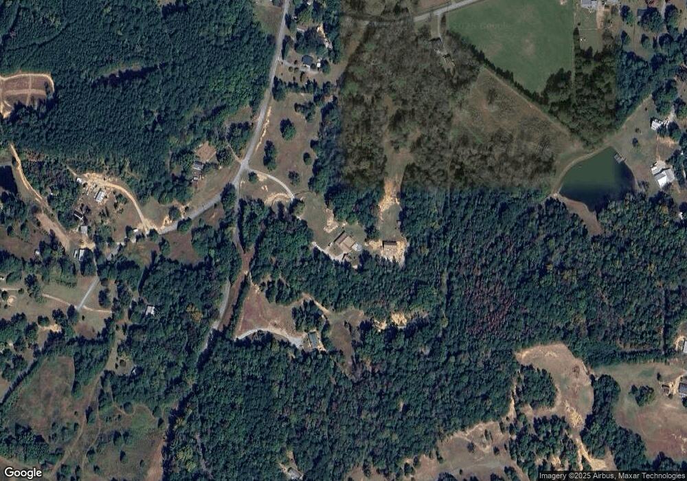
Map
Nearby Homes
- 497 Judkin Mill Rd
- 0 Wieuca Way Unit 10614129
- 000 Wieuca Way
- 142 Acres On Judkin Mill Rd
- 95 Wieuca Way
- 00 Buchanan Hwy
- 1987 Buchanan Hwy
- 35 Old Mill Rd
- 0 Judkin Mill Rd Unit LotWP001 19369404
- 966 Judkin Mill Rd
- 0 Old Esom Hill Loop Unit 7654342
- 0 Old Esom Hill Loop Unit 10611077
- 766 Antioch Rd
- 00 Antioch Rd
- 0 Cornelius Rd Unit 7646589
- 0 Johnson Lake Rd Unit 10565145
- 0 Johnson Lake Rd Unit 7575274
- 203 Cason Rd
- 117 Cason Rd
- 325 Fairview Ave
- 155 Fields Rd
- 000 Fields Rd
- 86 Wilson Rd
- 231 Judkin Mill Rd
- 177 Wilson Rd
- 15 Wilson Rd
- 263 Fields Rd
- 307 Judkin Mill Rd
- 00 Wilson Rd
- 0 Wilson Rd
- 0 Wilson Rd Unit 7628837
- 0 Wilson Rd Unit 7628816
- 240 Judkin Mill Rd
- 394 Judkin Mill Rd
- 256 Fields Rd
- 0 Fields Rd
- 281 Fields Rd
- 206 Judkin Mill Rd
- 206 Judkin Mill Rd
- 83 Judkin Mill Rd