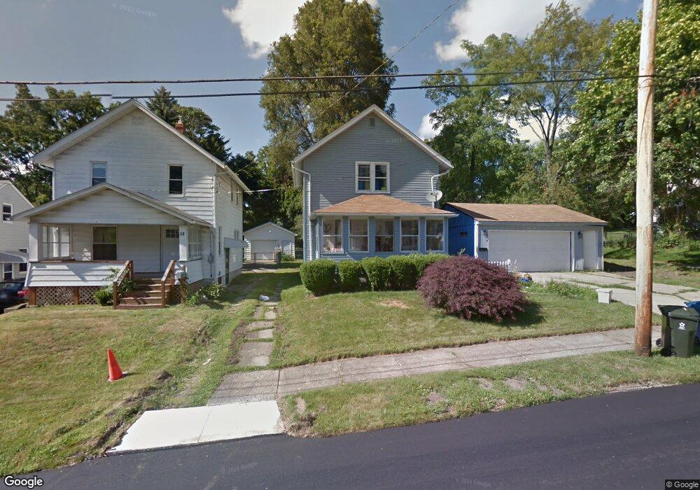
89 Yonker St Barberton, OH 44203
North Barberton NeighborhoodEstimated Value: $112,000 - $138,000
2
Beds
1
Bath
1,056
Sq Ft
$119/Sq Ft
Est. Value
About This Home
This home is located at 89 Yonker St, Barberton, OH 44203 and is currently estimated at $125,547, approximately $118 per square foot. 89 Yonker St is a home located in Summit County with nearby schools including Barberton Middle School, Barberton Intermediate School 3-5, and Barberton High School.
Ownership History
Date
Name
Owned For
Owner Type
Purchase Details
Closed on
Jul 22, 2022
Sold by
Obrien Darlene M
Bought by
Elfrink Cric
Current Estimated Value
Purchase Details
Closed on
Jun 7, 1994
Sold by
Brown Janet L
Bought by
Obrien David C and Obrien Darlene
Home Financials for this Owner
Home Financials are based on the most recent Mortgage that was taken out on this home.
Original Mortgage
$27,000
Interest Rate
8.48%
Mortgage Type
New Conventional
Create a Home Valuation Report for This Property
The Home Valuation Report is an in-depth analysis detailing your home's value as well as a comparison with similar homes in the area
Home Values in the Area
Average Home Value in this Area
Purchase History
| Date | Buyer | Sale Price | Title Company |
|---|---|---|---|
| Elfrink Cric | -- | None Listed On Document | |
| Obrien David C | $32,000 | -- |
Source: Public Records
Mortgage History
| Date | Status | Borrower | Loan Amount |
|---|---|---|---|
| Previous Owner | Obrien David C | $27,000 |
Source: Public Records
Tax History
| Year | Tax Paid | Tax Assessment Tax Assessment Total Assessment is a certain percentage of the fair market value that is determined by local assessors to be the total taxable value of land and additions on the property. | Land | Improvement |
|---|---|---|---|---|
| 2025 | $4,228 | $35,487 | $8,677 | $26,810 |
| 2024 | $2,423 | $35,487 | $8,677 | $26,810 |
| 2023 | $4,228 | $35,487 | $8,677 | $26,810 |
| 2022 | $1,430 | $24,158 | $5,674 | $18,484 |
| 2021 | $1,428 | $24,158 | $5,674 | $18,484 |
| 2020 | $1,398 | $24,150 | $5,670 | $18,480 |
| 2019 | $1,228 | $19,210 | $3,780 | $15,430 |
| 2018 | $1,210 | $19,210 | $3,780 | $15,430 |
| 2017 | $1,225 | $19,210 | $3,780 | $15,430 |
| 2016 | $1,228 | $19,210 | $3,780 | $15,430 |
| 2015 | $1,225 | $19,210 | $3,780 | $15,430 |
| 2014 | $1,219 | $19,210 | $3,780 | $15,430 |
| 2013 | $1,265 | $20,670 | $3,780 | $16,890 |
Source: Public Records
Map
Nearby Homes
- 174 Yonker St
- 26 W Hiram St
- 162 Mitchell St
- 197 W State St Unit 182
- 266 Hazelwood Ave
- 1974 Newton Ave
- 0 Romig Ave
- 217 W Summit St
- 76 Hazelwood Ave
- 0 Wooster Rd N
- 345 Morgan St
- 52 Norwood St
- 1146 Wooster Rd N
- 613 Wooster Rd N
- 553 Princeton Ave
- 485 Lloyd St
- 491 Taft Ave
- 526 Wooster Rd N
- 2025 Mcgowan Rd
- 369 Franklin Ave
Your Personal Tour Guide
Ask me questions while you tour the home.