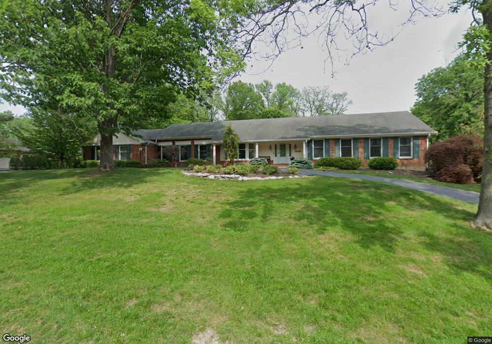
890 Amersham Dr Saint Louis, MO 63141
Estimated Value: $928,536 - $1,020,000
4
Beds
4
Baths
2,863
Sq Ft
$338/Sq Ft
Est. Value
About This Home
This home is located at 890 Amersham Dr, Saint Louis, MO 63141 and is currently estimated at $967,384, approximately $337 per square foot. 890 Amersham Dr is a home located in St. Louis County with nearby schools including Mason Ridge Elementary School, Parkway West Middle School, and Parkway West High School.
Ownership History
Date
Name
Owned For
Owner Type
Purchase Details
Closed on
Jan 2, 2015
Sold by
Gori Ronald L
Bought by
Mansfield Linda M and The Linda M Mansfield Trust
Current Estimated Value
Purchase Details
Closed on
Nov 6, 2002
Sold by
Mansfield Thomas G and Mansfield Linda M
Bought by
Mansfield Thomas G and The Thomas G Mansfield Trust
Purchase Details
Closed on
Jan 17, 2002
Sold by
Mansfield Thomas G
Bought by
Mansfield Thomas G and Mansfield Linda M
Create a Home Valuation Report for This Property
The Home Valuation Report is an in-depth analysis detailing your home's value as well as a comparison with similar homes in the area
Home Values in the Area
Average Home Value in this Area
Purchase History
| Date | Buyer | Sale Price | Title Company |
|---|---|---|---|
| Mansfield Linda M | -- | None Available | |
| Mansfield Thomas G | -- | -- | |
| Mansfield Thomas G | -- | -- |
Source: Public Records
Tax History Compared to Growth
Tax History
| Year | Tax Paid | Tax Assessment Tax Assessment Total Assessment is a certain percentage of the fair market value that is determined by local assessors to be the total taxable value of land and additions on the property. | Land | Improvement |
|---|---|---|---|---|
| 2025 | $8,767 | $184,170 | $85,500 | $98,670 |
| 2024 | $8,767 | $150,710 | $76,000 | $74,710 |
| 2023 | $8,297 | $150,710 | $76,000 | $74,710 |
| 2022 | $6,849 | $113,050 | $66,500 | $46,550 |
| 2021 | $6,792 | $117,720 | $66,500 | $51,220 |
| 2020 | $6,626 | $105,450 | $49,400 | $56,050 |
| 2019 | $6,533 | $105,450 | $49,400 | $56,050 |
| 2018 | $6,037 | $90,080 | $49,400 | $40,680 |
| 2017 | $5,955 | $90,080 | $49,400 | $40,680 |
| 2016 | $6,507 | $93,580 | $38,000 | $55,580 |
| 2015 | $6,859 | $93,580 | $38,000 | $55,580 |
| 2014 | $5,430 | $80,480 | $35,530 | $44,950 |
Source: Public Records
Map
Nearby Homes
- 12549 Bickford Dr
- Pearson Plan at Deer Hollow - Masterpiece Collection
- Clay Plan at Deer Hollow - Masterpiece Collection
- Rhodes Plan at Deer Hollow - Masterpiece Collection
- Huxley Plan at Deer Hollow - Masterpiece Collection
- Teagan Plan at Deer Hollow - Masterpiece Collection
- Finley Plan at Deer Hollow - Masterpiece Collection
- Margot Plan at Deer Hollow - Masterpiece Collection
- Everett Plan at Deer Hollow - Masterpiece Collection
- Mitchell Plan at Deer Hollow - Masterpiece Collection
- Grayson Plan at Deer Hollow - Masterpiece Collection
- 9 Kirken Knoll Dr
- 8 Balcon Estates
- 13 Balcon Estates Ct
- 11 Roclare Ln
- 2409 N Ballas Rd
- 12040 Conway Rd
- 5 W Point Ln
- 11758 Westham Dr
- 0 Unknown Unit 22071090
- 882 Amersham Dr
- 898 Amersham Dr
- 12526 Darien Dr
- 891 Amersham Dr
- 12512 Darien Dr
- 951 Revere - Lot 1
- 955 Revere Dr
- 874 Amersham Dr
- 12525 Darien Dr
- 12563 Bickford Dr
- 959 Revere Dr
- 875 Amersham Dr
- 12500 Darien Dr
- 12511 Darien Dr
- 12574 Bickford Dr
- 862 Amersham Dr
- 12575 Bickford Dr
- 872 Durbin Ct
- 863 Amersham Dr
- 865 Revere Dr