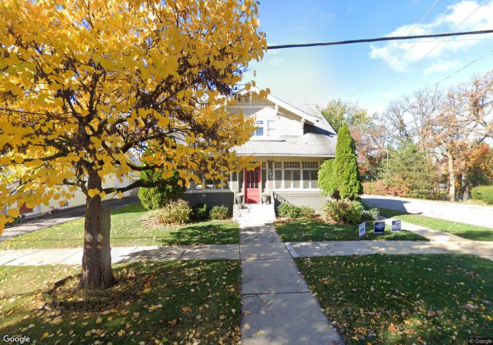
890 Brook St Elgin, IL 60120
Northeast Elgin NeighborhoodEstimated Value: $307,000 - $352,000
3
Beds
2
Baths
2,080
Sq Ft
$154/Sq Ft
Est. Value
About This Home
This home is located at 890 Brook St, Elgin, IL 60120 and is currently estimated at $319,678, approximately $153 per square foot. 890 Brook St is a home located in Kane County with nearby schools including McKinley Elementary School, Larsen Middle School, and Elgin High School.
Ownership History
Date
Name
Owned For
Owner Type
Purchase Details
Closed on
Aug 19, 2010
Sold by
Larson Mark A and Larson Venita L
Bought by
Ogburn Angela M and Linville Travis B
Current Estimated Value
Home Financials for this Owner
Home Financials are based on the most recent Mortgage that was taken out on this home.
Original Mortgage
$123,831
Outstanding Balance
$82,264
Interest Rate
4.87%
Mortgage Type
FHA
Estimated Equity
$237,414
Purchase Details
Closed on
Jul 5, 1996
Sold by
Derby David A and Bazell Jeff
Bought by
Larson Mark A and Larson Venita L
Home Financials for this Owner
Home Financials are based on the most recent Mortgage that was taken out on this home.
Original Mortgage
$110,941
Interest Rate
8.31%
Mortgage Type
FHA
Create a Home Valuation Report for This Property
The Home Valuation Report is an in-depth analysis detailing your home's value as well as a comparison with similar homes in the area
Home Values in the Area
Average Home Value in this Area
Purchase History
| Date | Buyer | Sale Price | Title Company |
|---|---|---|---|
| Ogburn Angela M | $125,500 | Fidelity Natl Title Ins Co | |
| Larson Mark A | $112,000 | -- |
Source: Public Records
Mortgage History
| Date | Status | Borrower | Loan Amount |
|---|---|---|---|
| Open | Ogburn Angela M | $123,831 | |
| Previous Owner | Larson Mark A | $110,941 |
Source: Public Records
Tax History
| Year | Tax Paid | Tax Assessment Tax Assessment Total Assessment is a certain percentage of the fair market value that is determined by local assessors to be the total taxable value of land and additions on the property. | Land | Improvement |
|---|---|---|---|---|
| 2024 | $6,119 | $84,462 | $14,666 | $69,796 |
| 2023 | $5,823 | $76,305 | $13,250 | $63,055 |
| 2022 | $5,513 | $69,577 | $12,082 | $57,495 |
| 2021 | $5,268 | $65,050 | $11,296 | $53,754 |
| 2020 | $5,117 | $62,100 | $10,784 | $51,316 |
| 2019 | $4,964 | $59,154 | $10,272 | $48,882 |
| 2018 | $4,404 | $50,545 | $9,677 | $40,868 |
| 2017 | $4,298 | $47,783 | $9,148 | $38,635 |
| 2016 | $4,088 | $44,330 | $8,487 | $35,843 |
| 2015 | -- | $40,632 | $7,779 | $32,853 |
| 2014 | -- | $40,130 | $7,683 | $32,447 |
| 2013 | -- | $41,189 | $7,886 | $33,303 |
Source: Public Records
Map
Nearby Homes
- 851 N Grove Ave
- 841 Douglas Ave
- 603 Douglas Ave
- 920 Augusta Ave
- 1045 Richard Rd Unit 207
- 1052 Bayside Rd Unit 213
- 464 Prospect St
- 1074 Lakeview Rd Unit 258
- 1101 Richard Rd
- 221 Little Peninsula Rd Unit 313
- 409 Algona Ave
- 1124 Lake Terrace Rd Unit 159
- 1131 Lakeview Rd Unit 194
- 1367 Wauchope Dr
- 1143 Bayside Rd Unit 149
- 1143 Lake Terrace Rd Unit 171
- 1149 Bayside Rd Unit 148
- 1104 Florimond Dr
- 1116 Candlewood Rd Unit 356
- 643 Wing St
Your Personal Tour Guide
Ask me questions while you tour the home.