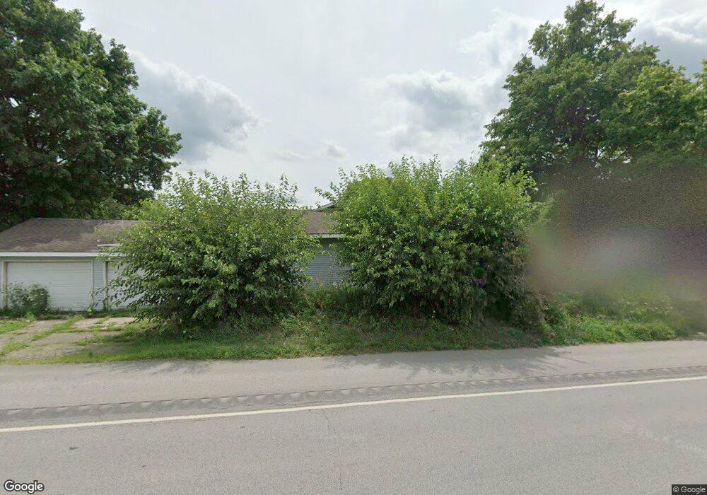
890 E Us Highway 20 Lagrange, IN 46761
Estimated Value: $252,000 - $293,000
4
Beds
2
Baths
2,116
Sq Ft
$128/Sq Ft
Est. Value
About This Home
This home is located at 890 E Us Highway 20, Lagrange, IN 46761 and is currently estimated at $271,653, approximately $128 per square foot. 890 E Us Highway 20 is a home located in LaGrange County with nearby schools including Lakeland Jr/Sr High School, East Yoder School, and Southeast Clay School.
Ownership History
Date
Name
Owned For
Owner Type
Purchase Details
Closed on
Oct 25, 2024
Sold by
Antal John G
Bought by
Siler Aaron M and Siler Sierra
Current Estimated Value
Home Financials for this Owner
Home Financials are based on the most recent Mortgage that was taken out on this home.
Original Mortgage
$136,170
Outstanding Balance
$134,000
Interest Rate
6.2%
Mortgage Type
New Conventional
Estimated Equity
$137,653
Create a Home Valuation Report for This Property
The Home Valuation Report is an in-depth analysis detailing your home's value as well as a comparison with similar homes in the area
Home Values in the Area
Average Home Value in this Area
Purchase History
| Date | Buyer | Sale Price | Title Company |
|---|---|---|---|
| Siler Aaron M | $177,000 | None Listed On Document |
Source: Public Records
Mortgage History
| Date | Status | Borrower | Loan Amount |
|---|---|---|---|
| Open | Siler Aaron M | $136,170 |
Source: Public Records
Tax History
| Year | Tax Paid | Tax Assessment Tax Assessment Total Assessment is a certain percentage of the fair market value that is determined by local assessors to be the total taxable value of land and additions on the property. | Land | Improvement |
|---|---|---|---|---|
| 2025 | $641 | $204,100 | $28,800 | $175,300 |
| 2024 | $641 | $199,000 | $28,800 | $170,200 |
| 2023 | $603 | $192,600 | $27,700 | $164,900 |
| 2022 | $680 | $176,700 | $24,100 | $152,600 |
| 2021 | $517 | $151,300 | $21,900 | $129,400 |
| 2020 | $486 | $135,900 | $22,700 | $113,200 |
| 2019 | $450 | $126,600 | $22,700 | $103,900 |
| 2018 | $459 | $120,400 | $22,700 | $97,700 |
| 2017 | $439 | $115,200 | $22,700 | $92,500 |
| 2016 | $438 | $115,300 | $22,400 | $92,900 |
| 2014 | $400 | $109,200 | $22,400 | $86,800 |
| 2013 | $400 | $110,200 | $22,400 | $87,800 |
Source: Public Records
Map
Nearby Homes
- 314 E Michigan St
- 207 S Poplar St
- 602 N Maple St
- 109 E Factory St
- 202 W Central Ave
- 307 N Detroit St
- 217-219 Church St
- 737 N Canal St
- 217 N Sherman St
- 270 N 035 W
- 920 N 00ew
- 1400 N 200 E
- 2200 S State Road 9 Hwy
- 2930 N 080 E
- 1575 W 195 N
- 3650 Indiana 9
- 1055 S 495 E
- 1630 S 485 E
- 2325 E 400 N
- 2200 S 460 E
- 860 E Us Highway 20
- 930 E Hwy 20
- 930 E Highway 20 (W 20 Acres)
- 930 E Highway 20 (W 5 Acres)
- 930 E Us Highway 20
- 830 E Us Highway 20
- 1090 Us-20 E
- 2 N 100 E
- 30 S 100 E
- 50 N 100 E
- 70 S 100 E
- 25 N 100 E
- 120 S 100 E
- 95 N 100 E
- 608 E Spring St
- 95 N 100 E
- 150 S 100 E
- 144 S Lakeland Dr
- 528 E Spring St
- 135 N 100 E
Your Personal Tour Guide
Ask me questions while you tour the home.