890 East Ave State Line, PA 17263
Estimated Value: $381,000 - $390,000
--
Bed
--
Bath
2,370
Sq Ft
$163/Sq Ft
Est. Value
About This Home
This home is located at 890 East Ave, State Line, PA 17263 and is currently estimated at $385,500, approximately $162 per square foot. 890 East Ave is a home with nearby schools including Greencastle-Antrim Primary School, Greencastle-Antrim Elementary School, and Greencastle-Antrim Middle School.
Create a Home Valuation Report for This Property
The Home Valuation Report is an in-depth analysis detailing your home's value as well as a comparison with similar homes in the area
Home Values in the Area
Average Home Value in this Area
Tax History Compared to Growth
Tax History
| Year | Tax Paid | Tax Assessment Tax Assessment Total Assessment is a certain percentage of the fair market value that is determined by local assessors to be the total taxable value of land and additions on the property. | Land | Improvement |
|---|---|---|---|---|
| 2025 | $6,370 | $38,080 | $2,000 | $36,080 |
| 2024 | $5,779 | $38,080 | $2,000 | $36,080 |
| 2023 | $5,711 | $38,080 | $2,000 | $36,080 |
| 2022 | $5,711 | $38,080 | $2,000 | $36,080 |
| 2021 | $5,600 | $38,080 | $2,000 | $36,080 |
| 2020 | $5,455 | $38,080 | $2,000 | $36,080 |
| 2019 | $5,331 | $38,080 | $2,000 | $36,080 |
| 2018 | $5,274 | $38,080 | $2,000 | $36,080 |
| 2017 | $5,140 | $38,080 | $2,000 | $36,080 |
| 2016 | $1,091 | $38,080 | $2,000 | $36,080 |
| 2015 | $1,017 | $38,080 | $2,000 | $36,080 |
| 2014 | $1,017 | $38,080 | $2,000 | $36,080 |
Source: Public Records
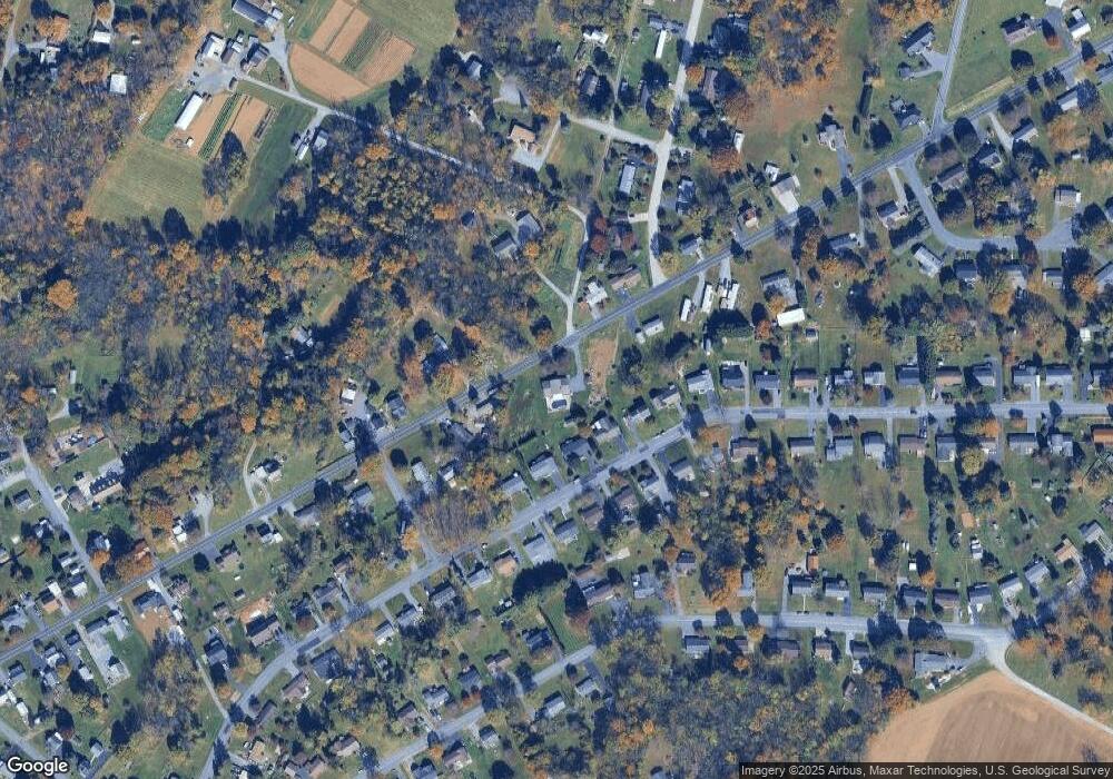
Map
Nearby Homes
- 1171 1173 Ridgeview Dr
- 15621 Oak Rd
- 171 East Ave
- 128 Hykes Rd E
- 15444 Pennsylvania Ave
- 110 Hykes Rd E
- Lot C3-2 Cedarbrook Dr
- Lot C3-1 Cedarbrook Dr
- 14732 Cedarbrook Dr
- 14799 Cedarbrook Dr
- 1031 Dianne Dr
- 1033 Dianne Dr
- 15480 Wedgewood Dr
- 684 Dresden Cir
- 14501 Molly Pitcher Hwy
- 14108 William Talcott Ln
- 0 Hykes Rd
- 226 Milnor Rd
- 18757 Mesa Terrace
- 19127 Grainary Dr