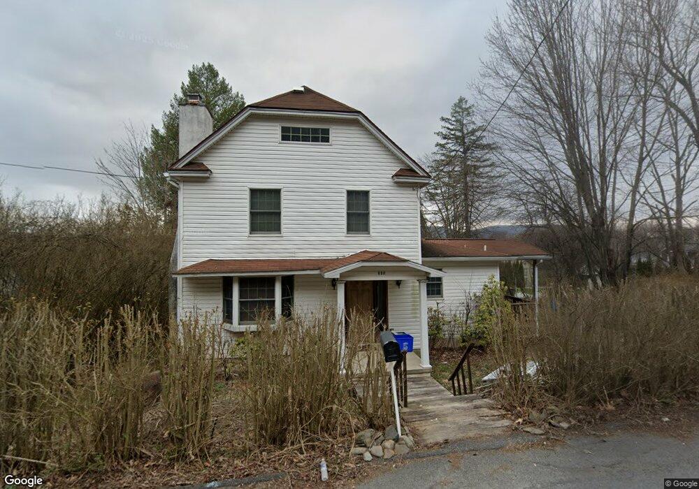
890 Hill St Archbald, PA 18403
Estimated Value: $181,000 - $198,000
2
Beds
2
Baths
1,410
Sq Ft
$133/Sq Ft
Est. Value
About This Home
This home is located at 890 Hill St, Archbald, PA 18403 and is currently estimated at $187,360, approximately $132 per square foot. 890 Hill St is a home located in Lackawanna County with nearby schools including Valley View Intermediate School, Valley View Middle School, and Valley View High School.
Ownership History
Date
Name
Owned For
Owner Type
Purchase Details
Closed on
Mar 17, 2009
Sold by
Mills Ronald and Jackson Sarah
Bought by
Mills Ronald and Mills Carol
Current Estimated Value
Home Financials for this Owner
Home Financials are based on the most recent Mortgage that was taken out on this home.
Original Mortgage
$123,300
Outstanding Balance
$77,525
Interest Rate
4.92%
Mortgage Type
New Conventional
Estimated Equity
$109,835
Purchase Details
Closed on
Dec 4, 2008
Sold by
Kosydar James M and Kosydar Lynda M
Bought by
Mills Ronald and Jackson Sarah
Home Financials for this Owner
Home Financials are based on the most recent Mortgage that was taken out on this home.
Original Mortgage
$117,826
Interest Rate
6.27%
Mortgage Type
FHA
Create a Home Valuation Report for This Property
The Home Valuation Report is an in-depth analysis detailing your home's value as well as a comparison with similar homes in the area
Home Values in the Area
Average Home Value in this Area
Purchase History
| Date | Buyer | Sale Price | Title Company |
|---|---|---|---|
| Mills Ronald | -- | None Available | |
| Mills Ronald | $118,500 | None Available |
Source: Public Records
Mortgage History
| Date | Status | Borrower | Loan Amount |
|---|---|---|---|
| Open | Mills Ronald | $123,300 | |
| Closed | Mills Ronald | $117,826 |
Source: Public Records
Tax History
| Year | Tax Paid | Tax Assessment Tax Assessment Total Assessment is a certain percentage of the fair market value that is determined by local assessors to be the total taxable value of land and additions on the property. | Land | Improvement |
|---|---|---|---|---|
| 2025 | $2,444 | $9,500 | $800 | $8,700 |
| 2024 | $2,097 | $9,500 | $800 | $8,700 |
| 2023 | $2,097 | $9,500 | $800 | $8,700 |
| 2022 | $2,031 | $9,500 | $800 | $8,700 |
| 2021 | $2,026 | $9,500 | $800 | $8,700 |
| 2020 | $1,988 | $9,500 | $800 | $8,700 |
| 2019 | $1,844 | $9,500 | $800 | $8,700 |
| 2018 | $1,811 | $9,500 | $800 | $8,700 |
| 2017 | $1,802 | $9,500 | $800 | $8,700 |
| 2016 | $1,057 | $9,500 | $800 | $8,700 |
| 2015 | -- | $9,500 | $800 | $8,700 |
| 2014 | -- | $9,500 | $800 | $8,700 |
Source: Public Records
Map
Nearby Homes
- 430 Salem Rd
- 191 Ash St
- 337 Wayne St
- 0 Forest Ln
- 0 Skyline Dr
- 00 Hickory St
- 0 Ledgewood Dr
- 192 Shadow Wood Cir
- 0 Joel (Lot 30) Dr
- 197 Columbus Dr
- 439 Hudson St
- 0 Joel (Lot 34) Dr Unit GSBSC3073
- 0 Jamie (Lot 11) Dr Unit GSBSC3086
- 0 Joel (Lot 50) Dr Unit GSBSC3078
- 0 Joel (Lot 51) Dr Unit GSBSC3079
- 420 Delaware St
- 1108 Filbert St
- 1104 E Filbert St
- 98 Lori Dr Unit L 1
- 1181 W State St