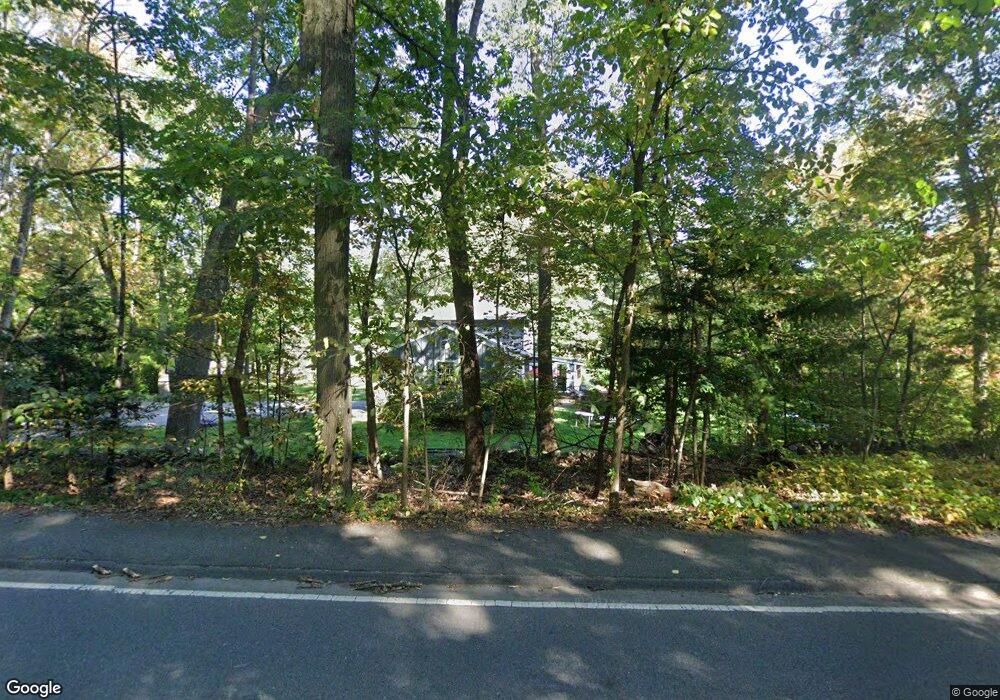
890 Johnson St North Andover, MA 01845
Estimated Value: $868,721 - $959,000
4
Beds
3
Baths
2,164
Sq Ft
$419/Sq Ft
Est. Value
About This Home
This home is located at 890 Johnson St, North Andover, MA 01845 and is currently estimated at $906,680, approximately $418 per square foot. 890 Johnson St is a home located in Essex County with nearby schools including Annie L Sargent Elementary School, North Andover Middle School, and North Andover High School.
Ownership History
Date
Name
Owned For
Owner Type
Purchase Details
Closed on
Jun 21, 2004
Sold by
Wilson Craig M and Wilson Lisa A
Bought by
Welch Christopher and Welch Kelly H
Current Estimated Value
Purchase Details
Closed on
Nov 30, 1999
Sold by
Lee Gil S and Lee Yong A
Bought by
Wilson Craig M and Wilson Lisa A
Purchase Details
Closed on
Aug 30, 1996
Sold by
Sinacore Martin S
Bought by
Lee Gil S
Purchase Details
Closed on
Aug 30, 1989
Sold by
Odonohue Thomas
Bought by
Sinacore Martin
Create a Home Valuation Report for This Property
The Home Valuation Report is an in-depth analysis detailing your home's value as well as a comparison with similar homes in the area
Home Values in the Area
Average Home Value in this Area
Purchase History
| Date | Buyer | Sale Price | Title Company |
|---|---|---|---|
| Welch Christopher | $480,000 | -- | |
| Wilson Craig M | $314,000 | -- | |
| Lee Gil S | $249,000 | -- | |
| Sinacore Martin | $225,000 | -- |
Source: Public Records
Mortgage History
| Date | Status | Borrower | Loan Amount |
|---|---|---|---|
| Open | Sinacore Martin | $355,000 | |
| Closed | Sinacore Martin | $358,850 |
Source: Public Records
Tax History Compared to Growth
Tax History
| Year | Tax Paid | Tax Assessment Tax Assessment Total Assessment is a certain percentage of the fair market value that is determined by local assessors to be the total taxable value of land and additions on the property. | Land | Improvement |
|---|---|---|---|---|
| 2025 | $9,186 | $815,800 | $414,500 | $401,300 |
| 2024 | $8,688 | $783,400 | $392,700 | $390,700 |
| 2023 | $8,159 | $666,600 | $331,700 | $334,900 |
| 2022 | $7,769 | $574,200 | $288,100 | $286,100 |
| 2021 | $7,468 | $527,000 | $262,000 | $265,000 |
| 2020 | $7,150 | $520,400 | $255,400 | $265,000 |
| 2019 | $6,979 | $520,400 | $255,400 | $265,000 |
| 2018 | $7,561 | $520,400 | $255,400 | $265,000 |
| 2017 | $6,702 | $469,300 | $224,800 | $244,500 |
| 2016 | $6,430 | $450,600 | $227,000 | $223,600 |
| 2015 | $6,408 | $445,300 | $213,500 | $231,800 |
Source: Public Records
Map
Nearby Homes