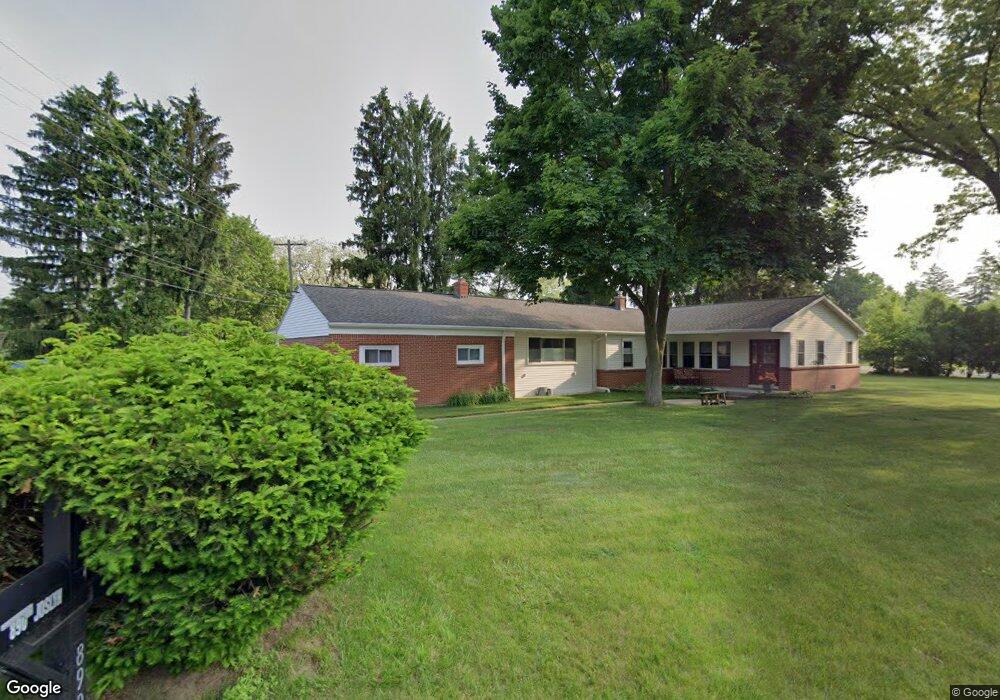
890 Joslyn Rd Lake Orion, MI 48362
Estimated Value: $338,480 - $363,000
3
Beds
2
Baths
1,864
Sq Ft
$191/Sq Ft
Est. Value
About This Home
This home is located at 890 Joslyn Rd, Lake Orion, MI 48362 and is currently estimated at $355,620, approximately $190 per square foot. 890 Joslyn Rd is a home located in Oakland County with nearby schools including Paint Creek Elementary School, Scripps Middle School, and Lake Orion Community High School.
Ownership History
Date
Name
Owned For
Owner Type
Purchase Details
Closed on
Jun 29, 1998
Sold by
Pennanen Paul
Bought by
Wesley Todd M
Current Estimated Value
Home Financials for this Owner
Home Financials are based on the most recent Mortgage that was taken out on this home.
Original Mortgage
$95,000
Outstanding Balance
$19,695
Interest Rate
7.15%
Estimated Equity
$335,925
Purchase Details
Closed on
May 15, 1996
Sold by
Dirven David R
Bought by
Pennanen Paul
Home Financials for this Owner
Home Financials are based on the most recent Mortgage that was taken out on this home.
Original Mortgage
$119,939
Interest Rate
8.1%
Create a Home Valuation Report for This Property
The Home Valuation Report is an in-depth analysis detailing your home's value as well as a comparison with similar homes in the area
Home Values in the Area
Average Home Value in this Area
Purchase History
| Date | Buyer | Sale Price | Title Company |
|---|---|---|---|
| Wesley Todd M | $140,000 | -- | |
| Pennanen Paul | $120,000 | -- |
Source: Public Records
Mortgage History
| Date | Status | Borrower | Loan Amount |
|---|---|---|---|
| Open | Wesley Todd M | $95,000 | |
| Previous Owner | Pennanen Paul | $119,939 |
Source: Public Records
Tax History Compared to Growth
Tax History
| Year | Tax Paid | Tax Assessment Tax Assessment Total Assessment is a certain percentage of the fair market value that is determined by local assessors to be the total taxable value of land and additions on the property. | Land | Improvement |
|---|---|---|---|---|
| 2024 | $1,862 | $129,160 | $0 | $0 |
| 2023 | $1,776 | $118,470 | $0 | $0 |
| 2022 | $2,508 | $113,430 | $0 | $0 |
| 2021 | $2,392 | $111,220 | $0 | $0 |
| 2020 | $1,628 | $102,660 | $0 | $0 |
| 2019 | $2,215 | $97,930 | $0 | $0 |
| 2018 | $2,209 | $88,050 | $0 | $0 |
| 2017 | $2,111 | $88,050 | $0 | $0 |
| 2016 | $2,104 | $79,190 | $0 | $0 |
| 2015 | -- | $75,360 | $0 | $0 |
| 2014 | -- | $72,640 | $0 | $0 |
| 2011 | -- | $58,420 | $0 | $0 |
Source: Public Records
Map
Nearby Homes
- 656 Lawson Dr
- 1075 Beach Dr
- 1859 Lonesome Lake Ct
- 449 Joslyn Rd
- 468 Orchard Ridge Dr
- 302 Kirksway Ln
- 35 N Broadway St
- 271 Greenan Ln
- 1412 Marina Pointe Blvd
- 816 Vernita Dr
- 840 Laird St
- 2999 Buckner Rd
- 1772 Berwick Ln
- 239 Pine Tree Rd
- 850 W Clarkston Rd
- 84 Greenan Ln
- 1906 Indianwood Rd
- 784 Heights Rd
- 101 N Newman Rd
- 1888 Hunters Ln Unit 36