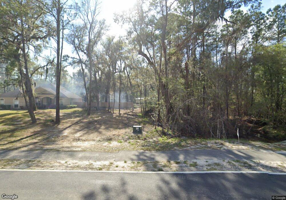
890 May Creek Dr Kingsland, GA 31548
Estimated Value: $401,000 - $619,701
5
Beds
4
Baths
3,219
Sq Ft
$170/Sq Ft
Est. Value
About This Home
This home is located at 890 May Creek Dr, Kingsland, GA 31548 and is currently estimated at $547,925, approximately $170 per square foot. 890 May Creek Dr is a home located in Camden County with nearby schools including David L. Rainer Elementary School, Camden Middle School, and Camden County High School.
Ownership History
Date
Name
Owned For
Owner Type
Purchase Details
Closed on
Dec 18, 2020
Sold by
Shusko Norah A
Bought by
Shusko Daniel S
Current Estimated Value
Home Financials for this Owner
Home Financials are based on the most recent Mortgage that was taken out on this home.
Original Mortgage
$281,792
Outstanding Balance
$250,879
Interest Rate
2.7%
Mortgage Type
VA
Estimated Equity
$297,046
Purchase Details
Closed on
Jul 31, 2009
Sold by
W H Gross Construction Co
Bought by
Shusko Daniel S
Home Financials for this Owner
Home Financials are based on the most recent Mortgage that was taken out on this home.
Original Mortgage
$271,050
Interest Rate
5.26%
Mortgage Type
FHA
Purchase Details
Closed on
Apr 9, 2009
Sold by
Gross William H
Bought by
W H Gross Construction Co
Create a Home Valuation Report for This Property
The Home Valuation Report is an in-depth analysis detailing your home's value as well as a comparison with similar homes in the area
Home Values in the Area
Average Home Value in this Area
Purchase History
| Date | Buyer | Sale Price | Title Company |
|---|---|---|---|
| Shusko Daniel S | -- | -- | |
| Shusko Daniel S | -- | -- | |
| Shusko Daniel S | $302,705 | -- | |
| W H Gross Construction Co | $55,000 | -- |
Source: Public Records
Mortgage History
| Date | Status | Borrower | Loan Amount |
|---|---|---|---|
| Open | Shusko Daniel S | $281,792 | |
| Previous Owner | W H Gross Construction Co | $271,050 |
Source: Public Records
Tax History Compared to Growth
Tax History
| Year | Tax Paid | Tax Assessment Tax Assessment Total Assessment is a certain percentage of the fair market value that is determined by local assessors to be the total taxable value of land and additions on the property. | Land | Improvement |
|---|---|---|---|---|
| 2024 | $5,672 | $217,334 | $27,000 | $190,334 |
| 2023 | $6,386 | $196,328 | $26,580 | $169,748 |
| 2022 | $6,305 | $186,859 | $26,580 | $160,279 |
| 2021 | $5,327 | $142,223 | $26,580 | $115,643 |
| 2020 | $4,919 | $126,826 | $26,813 | $100,013 |
| 2019 | $4,919 | $126,826 | $26,813 | $100,013 |
| 2018 | $1,032 | $126,826 | $26,813 | $100,013 |
| 2017 | $5,492 | $180,960 | $81,151 | $99,809 |
| 2016 | $5,214 | $178,151 | $81,151 | $97,000 |
| 2015 | $6,474 | $178,150 | $81,151 | $97,000 |
| 2014 | $6,567 | $178,151 | $81,151 | $97,000 |
Source: Public Records
Map
Nearby Homes
- 281 Cambridge Cir
- 118 Ashton Ln
- 108 Willow Lake Dr
- 234 Waters Edge Dr
- 130 Bedford Ct
- 138 Holston Cir
- 0 Shelton Place Unit 1650857
- 103 Paradise Ct
- 105 Paradise Ct
- 0 Greentree Rd Unit 17317554
- 306 Cedar Breeze Dr
- 109 Pioneer Way
- 145 Pine Bluff Blvd W
- 151 Pine Bluff Blvd W
- 123 Pine Bluff Blvd W
- 126 Pine Bluff Terrace
- 1311 E King Ave
- 141 Lake Jordan Blvd
- 203 Pine Bluff Dr
- 890 May Creek Dr
- 892 May Creek Dr
- 898 May Creek Dr
- 896 May Creek Dr
- 900 May Creek Dr
- 910 May Creek Dr
- 910 May Creek St
- 166 Cambridge Cir
- 188 Cambridge Cir
- 144 Cambridge Cir
- 124 Cambridge Cir
- 204 Cambridge Cir
- 220 Cambridge Cir
- 157 Cambridge Cir
- 106 Cambridge Cir
- 87 Cambridge Cir
- 242 Cambridge Cir
- 235 Cambridge Cir
- 1601 Scrubby Bluff Rd
- 1611 Scrubby Bluff Rd
