890 Rosemont Rd West Linn, OR 97068
Stafford NeighborhoodEstimated Value: $1,675,815 - $2,502,000
3
Beds
3
Baths
3,604
Sq Ft
$583/Sq Ft
Est. Value
About This Home
This home is located at 890 Rosemont Rd, West Linn, OR 97068 and is currently estimated at $2,101,954, approximately $583 per square foot. 890 Rosemont Rd is a home located in Clackamas County with nearby schools including Stafford Primary School, West Linn High School, and Harmony Academy.
Ownership History
Date
Name
Owned For
Owner Type
Purchase Details
Closed on
Nov 4, 2013
Sold by
Young Donald and Young Elaine
Bought by
Young Donald A and Young Elaine A
Current Estimated Value
Home Financials for this Owner
Home Financials are based on the most recent Mortgage that was taken out on this home.
Original Mortgage
$193,000
Outstanding Balance
$143,719
Interest Rate
4.27%
Mortgage Type
New Conventional
Estimated Equity
$1,958,235
Purchase Details
Closed on
Nov 3, 2010
Sold by
Young Donald A and Young Elaine A
Bought by
Young Donald A and Young Elaine A
Purchase Details
Closed on
Nov 15, 1999
Sold by
Stevens Jeffrey S and Stevens Linda B
Bought by
Young Donald A and Young Elaine A
Home Financials for this Owner
Home Financials are based on the most recent Mortgage that was taken out on this home.
Original Mortgage
$408,000
Outstanding Balance
$123,286
Interest Rate
7.84%
Estimated Equity
$1,978,668
Create a Home Valuation Report for This Property
The Home Valuation Report is an in-depth analysis detailing your home's value as well as a comparison with similar homes in the area
Home Values in the Area
Average Home Value in this Area
Purchase History
| Date | Buyer | Sale Price | Title Company |
|---|---|---|---|
| Young Donald A | -- | Accommodation | |
| Young Donald | -- | First American | |
| Young Donald A | -- | None Available | |
| Young Donald A | $510,000 | Chicago Title Insurance Co |
Source: Public Records
Mortgage History
| Date | Status | Borrower | Loan Amount |
|---|---|---|---|
| Open | Young Donald | $193,000 | |
| Open | Young Donald A | $408,000 |
Source: Public Records
Tax History Compared to Growth
Tax History
| Year | Tax Paid | Tax Assessment Tax Assessment Total Assessment is a certain percentage of the fair market value that is determined by local assessors to be the total taxable value of land and additions on the property. | Land | Improvement |
|---|---|---|---|---|
| 2025 | $18,943 | $1,092,672 | -- | -- |
| 2024 | $18,232 | $1,060,849 | -- | -- |
| 2023 | $18,232 | $1,029,954 | $0 | $0 |
| 2022 | $17,179 | $999,957 | $0 | $0 |
| 2021 | $15,394 | $970,836 | $0 | $0 |
| 2020 | $15,556 | $942,562 | $0 | $0 |
| 2019 | $14,850 | $915,110 | $0 | $0 |
| 2018 | $13,971 | $888,460 | $0 | $0 |
| 2017 | $13,122 | $862,581 | $0 | $0 |
| 2016 | $12,783 | $837,458 | $0 | $0 |
| 2015 | $12,431 | $813,066 | $0 | $0 |
| 2014 | $11,723 | $789,388 | $0 | $0 |
Source: Public Records
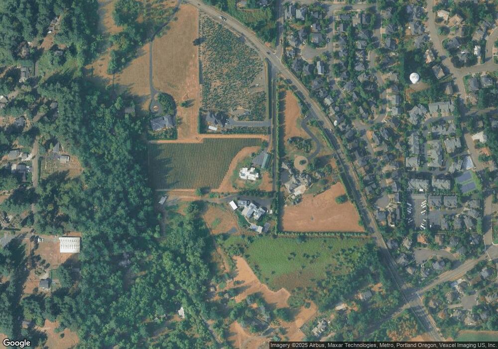
Map
Nearby Homes
- 800 Rosemont Rd
- 19874 Bennington Ct
- 2086 Sunray Cir
- 2038 Titan Terrace
- 19640 Kapteyns St
- 2005 Carriage Way
- 19686 Sun Cir
- 655 Rosemont Rd
- 6135 Cheyenne Terrace
- 19661 Sun Cir
- 19655 Sun Cir
- 2090 Valley View Dr
- 0 S Sweetbriar Rd Unit 23219494
- 6233 Meridian Cir
- 3029 Club House Ct
- 6275 Clubhouse Cir
- 6296 Belmont Way
- 2024 Conestoga Ln
- 3088 Club House Ct
- 19775 Wildwood Dr
- 900 Rosemont Rd
- 930 Rosemont Rd
- 842 Rosemont Rd
- 19783 Bennington Ct
- 19777 Bennington Ct
- 19797 Bennington Ct
- 19763 Bennington Ct
- 19803 Bennington Ct
- 19757 Bennington Ct
- 19817 Bennington Ct
- 19823 Bennington Ct
- 19743 Bennington Ct
- 19837 Bennington Ct
- 19843 Bennington Ct
- 1822 Westberry Ct
- 1838 Westberry Ct
- 19857 Bennington Ct
- 19863 Bennington Ct
- 1816 Westberry Ct
- 1625 S Clematis Rd