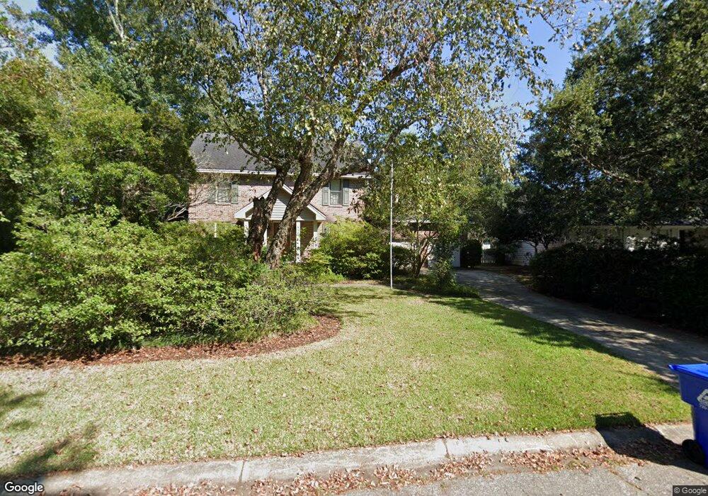
890 Seafarer Way Charleston, SC 29412
James Island NeighborhoodEstimated Value: $809,000 - $937,000
4
Beds
4
Baths
2,716
Sq Ft
$324/Sq Ft
Est. Value
About This Home
This home is located at 890 Seafarer Way, Charleston, SC 29412 and is currently estimated at $879,551, approximately $323 per square foot. 890 Seafarer Way is a home located in Charleston County with nearby schools including Stiles Point Elementary School, Camp Road Middle, and James Island Charter High School.
Ownership History
Date
Name
Owned For
Owner Type
Purchase Details
Closed on
Aug 21, 2014
Sold by
Price Veronica F
Bought by
Kral David L and Kral Tracy C
Current Estimated Value
Home Financials for this Owner
Home Financials are based on the most recent Mortgage that was taken out on this home.
Original Mortgage
$370,000
Outstanding Balance
$283,070
Interest Rate
4.2%
Mortgage Type
VA
Estimated Equity
$596,481
Purchase Details
Closed on
Jan 1, 2014
Sold by
Price Veronica F
Bought by
Price Veronica F and Veronica F Price Revocable Living Trust
Create a Home Valuation Report for This Property
The Home Valuation Report is an in-depth analysis detailing your home's value as well as a comparison with similar homes in the area
Home Values in the Area
Average Home Value in this Area
Purchase History
| Date | Buyer | Sale Price | Title Company |
|---|---|---|---|
| Kral David L | $381,500 | -- | |
| Price Veronica F | -- | -- |
Source: Public Records
Mortgage History
| Date | Status | Borrower | Loan Amount |
|---|---|---|---|
| Open | Kral David L | $370,000 |
Source: Public Records
Tax History Compared to Growth
Tax History
| Year | Tax Paid | Tax Assessment Tax Assessment Total Assessment is a certain percentage of the fair market value that is determined by local assessors to be the total taxable value of land and additions on the property. | Land | Improvement |
|---|---|---|---|---|
| 2024 | $2,062 | $17,570 | $0 | $0 |
| 2023 | $2,062 | $17,570 | $0 | $0 |
| 2022 | $1,884 | $17,570 | $0 | $0 |
| 2021 | $2,020 | $17,570 | $0 | $0 |
| 2020 | $2,043 | $17,570 | $0 | $0 |
| 2019 | $1,861 | $15,280 | $0 | $0 |
| 2017 | $1,980 | $15,280 | $0 | $0 |
| 2016 | $1,896 | $15,280 | $0 | $0 |
| 2015 | $1,975 | $15,280 | $0 | $0 |
| 2014 | $1,495 | $0 | $0 | $0 |
| 2011 | -- | $0 | $0 | $0 |
Source: Public Records
Map
Nearby Homes
- 954 Harbortowne Rd
- 965 Mooring Dr
- 800 Heyward Cove Place
- 939 Mikell Dr
- 1024 Greenhill Rd
- 1013 Jamsie Cove Dr
- 1032 Greenhill Rd Unit A
- 865 Duvall St
- 804 Porcari St
- 816 Porcari St
- 1102 Williams Rd
- 938 White Marlin Dr
- 969 Harbor View Rd
- 1120 Seaside Ln
- 975 Harbor View Rd
- 1129 Quail Dr
- 1098 Blue Marlin Dr
- 1149 Quail Dr
- 525 Yellow Tower Terrace
- 777 Lake Frances Dr
- 886 Seafarer Way
- 894 Seafarer Way
- 953 Regatta Rd
- 949 Regatta Rd
- 957 Regatta Rd
- 873 Seafarer Way
- 882 Seafarer Way
- 945 Regatta Rd
- 869 Seafarer Way
- 955 Harbortowne Rd
- 941 Regatta Rd
- 946 Regatta Rd
- 951 Harbortowne Rd
- 878 Seafarer Way
- 959 Harbortowne Rd
- 942 Regatta Rd
- 958 Harbortowne Rd
- 806 N Channel Ct
- 865 Seafarer Way
- 950 Regatta Rd