890 Us Highway 221 N Adrian, GA 31002
Estimated Value: $118,670 - $216,000
3
Beds
1
Bath
1,892
Sq Ft
$91/Sq Ft
Est. Value
About This Home
This home is located at 890 Us Highway 221 N, Adrian, GA 31002 and is currently estimated at $171,668, approximately $90 per square foot. 890 Us Highway 221 N is a home located in Emanuel County with nearby schools including Swainsboro High School.
Ownership History
Date
Name
Owned For
Owner Type
Purchase Details
Closed on
Jul 16, 2012
Sold by
Solomon Mildred
Bought by
Solomon Michael
Current Estimated Value
Purchase Details
Closed on
Aug 5, 2002
Sold by
Dryden Dryden M and Dryden Frances
Bought by
Solomon Mildred C
Purchase Details
Closed on
Jul 16, 1997
Sold by
Mcnure Martha M
Bought by
Solomon Mildred C
Purchase Details
Closed on
Oct 23, 1995
Sold by
Mcnure Martha M
Bought by
Wilson Edith Edler
Purchase Details
Closed on
Dec 2, 1982
Sold by
Hall Dave
Bought by
Soloman Soloman H and Soloman Mildred
Purchase Details
Closed on
Aug 11, 1980
Sold by
Morris Aleck Guy and Morris Rose
Bought by
Hall Dave
Purchase Details
Closed on
Oct 8, 1974
Sold by
Lawson Lotis B Woods
Bought by
Morris Aleck Guy and Morris Rose
Create a Home Valuation Report for This Property
The Home Valuation Report is an in-depth analysis detailing your home's value as well as a comparison with similar homes in the area
Home Values in the Area
Average Home Value in this Area
Purchase History
| Date | Buyer | Sale Price | Title Company |
|---|---|---|---|
| Solomon Michael | $5,000 | -- | |
| Solomon Mildred C | $15,000 | -- | |
| Solomon Mildred C | $13,000 | -- | |
| Wilson Edith Edler | -- | -- | |
| Soloman Soloman H | -- | -- | |
| Hall Dave | -- | -- | |
| Morris Aleck Guy | -- | -- |
Source: Public Records
Tax History Compared to Growth
Tax History
| Year | Tax Paid | Tax Assessment Tax Assessment Total Assessment is a certain percentage of the fair market value that is determined by local assessors to be the total taxable value of land and additions on the property. | Land | Improvement |
|---|---|---|---|---|
| 2024 | $868 | $30,829 | $3,378 | $27,451 |
| 2023 | $1,383 | $54,350 | $16,556 | $37,794 |
| 2022 | $1,383 | $51,024 | $16,556 | $34,468 |
| 2021 | $1,354 | $49,010 | $16,556 | $32,454 |
| 2020 | $1,359 | $46,827 | $22,552 | $24,275 |
| 2019 | $1,330 | $45,827 | $22,552 | $23,275 |
| 2018 | $1,318 | $45,827 | $22,552 | $23,275 |
| 2017 | $1,321 | $45,827 | $22,552 | $23,275 |
| 2016 | $1,300 | $45,076 | $21,898 | $23,178 |
| 2015 | -- | $45,076 | $21,898 | $23,178 |
Source: Public Records
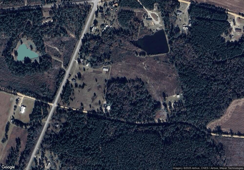
Map
Nearby Homes
- 546 Alton Lawson Rd
- 600 Alton Lawson Rd
- 400 Alton Lawson Rd
- 503 Alton Lawson Rd
- 0 Alton Lawson Rd
- 0 Trinity Church Rd
- 87 Georgia Ave
- 223 Kersey Rd
- 728 Martin Rd
- 0 Sardis Church Rd Unit 10601519
- 0 Asa Lindsey Rd Unit 10595336
- 0 Asa Lindsey Rd Unit 25496504
- 0000 Hwy 171
- 0 Walden Way Unit 10601502
- 55 Hatcher St
- 53 Averett St
- 2195 Montgomery St
- Old Wilson Rd
- 150 Kemp Rd
- 444 Halls Bridge Rd
- 878 Us Highway 221 N
- 547 Alton Lawson Rd
- 916 Us Highway 221 N
- 854 Us Highway 221 N
- 15 Us Highway 221 Rd
- 155 Blueberry Farm Rd
- 477 Alton Lawson Rd
- 816 Us Highway 221 N
- 959 Us Highway 221 N
- 26 Blueberry Farm Rd
- 48 Blueberry Farm Rd
- 804 Us Highway 221 N
- 804 Us Highway 221 N
- 174 Blueberry Farm Rd
- N Highway 221
- 654 Alton Lawson Rd
- 00 Alton Lawson Rd
- 700 Alton Lawson Rd
- 1 Alton Lawson Rd
- 417 Alton Lawson Rd