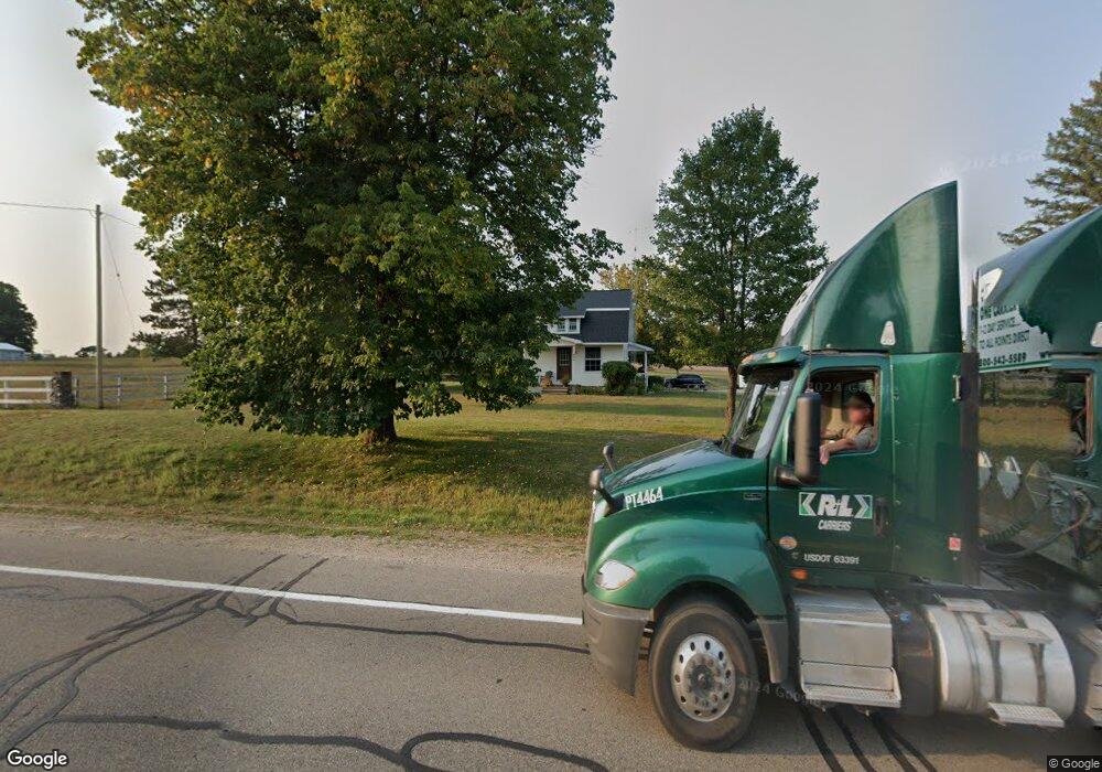
890 W Federal Hwy Roscommon, MI 48653
Estimated Value: $243,000 - $299,000
3
Beds
2
Baths
2,224
Sq Ft
$116/Sq Ft
Est. Value
About This Home
This home is located at 890 W Federal Hwy, Roscommon, MI 48653 and is currently estimated at $257,270, approximately $115 per square foot. 890 W Federal Hwy is a home located in Crawford County with nearby schools including Roscommon Elementary School, Roscommon Middle School, and Roscommon High School.
Ownership History
Date
Name
Owned For
Owner Type
Purchase Details
Closed on
Nov 19, 2021
Sold by
Scott Land Llc
Bought by
Scott Land Llc
Current Estimated Value
Purchase Details
Closed on
Mar 8, 2017
Sold by
Souku Gloria
Bought by
Scott Land Llc
Purchase Details
Closed on
Feb 22, 2012
Sold by
Coon Gerald R and Linderman Marjorie C
Bought by
Coon Gerald R
Purchase Details
Closed on
Mar 11, 1999
Sold by
Linderman Marjorie
Bought by
Coon Gerald
Purchase Details
Closed on
Jun 9, 1997
Sold by
Linderman Marjorie
Bought by
Betty J Scott Trustee
Create a Home Valuation Report for This Property
The Home Valuation Report is an in-depth analysis detailing your home's value as well as a comparison with similar homes in the area
Home Values in the Area
Average Home Value in this Area
Purchase History
| Date | Buyer | Sale Price | Title Company |
|---|---|---|---|
| Scott Land Llc | -- | -- | |
| Scott Land Llc | $91,000 | None Available | |
| Coon Gerald R | -- | -- | |
| Coon Gerald | -- | -- | |
| Betty J Scott Trustee | $5,000 | -- |
Source: Public Records
Tax History Compared to Growth
Tax History
| Year | Tax Paid | Tax Assessment Tax Assessment Total Assessment is a certain percentage of the fair market value that is determined by local assessors to be the total taxable value of land and additions on the property. | Land | Improvement |
|---|---|---|---|---|
| 2025 | $3,027 | $86,600 | $86,600 | $0 |
| 2024 | $792 | $80,300 | $80,300 | $0 |
| 2023 | $757 | $69,500 | $69,500 | $0 |
| 2022 | $721 | $64,100 | $64,100 | $0 |
| 2021 | $2,723 | $62,200 | $62,200 | $0 |
| 2020 | $2,686 | $61,500 | $61,500 | $0 |
| 2019 | $2,617 | $58,800 | $58,800 | $0 |
| 2018 | $2,567 | $54,500 | $54,500 | $0 |
| 2017 | $713 | $63,800 | $63,800 | $0 |
| 2016 | $707 | $58,200 | $58,200 | $0 |
| 2015 | -- | $58,200 | $0 | $0 |
| 2014 | -- | $56,800 | $0 | $0 |
| 2013 | -- | $57,000 | $0 | $0 |
Source: Public Records
Map
Nearby Homes
- Lot 10 Fairway Dr
- Lot 9 Fairway Dr
- 115 S Hunting Horn Dr
- E Huntinghorn Rd
- E Huntinghorn Rd
- 11427 Huntinghorn Rd
- 0 Beaver Creek Trail Unit 25064697
- Silverbow Ln
- Apache Trail
- 724 Lynn Dr
- 11269 Tanglewood Dr
- 2260 W Pinewood Dr
- 1825 W Sunset Dr
- 306 Acre Ct
- 10256 Billman Rd
- V/L 1.22AC N 4th St
- 4 Acres N Cut Rd
- 0 N Main St Unit 20251028047
- 11282 Steckert Bridge Rd
- 38 S Eugene Dr
- XXX W Federal Highway Parcel C Unit PARCEL
- 950 W Federal Hwy
- 809 W Federal Hwy
- 969 W Federal Hwy
- 11895 Nolan Rd
- 11906 Nolan Rd
- 11815 Nolan Rd
- 635 W Federal Hwy
- 705 W Federal Hwy
- 11787 Nolan Rd
- 11816 Nolan Rd
- 11755 Nolan Rd
- 1120 W Federal Hwy
- 11750 Nolan Rd
- 11713 Nolan Rd
- 11713 Nolan Rd
- 613 W Federal Hwy
- 11675 Nolan Rd
- 1037 W Federal Hwy
- 11864 Billman Rd
