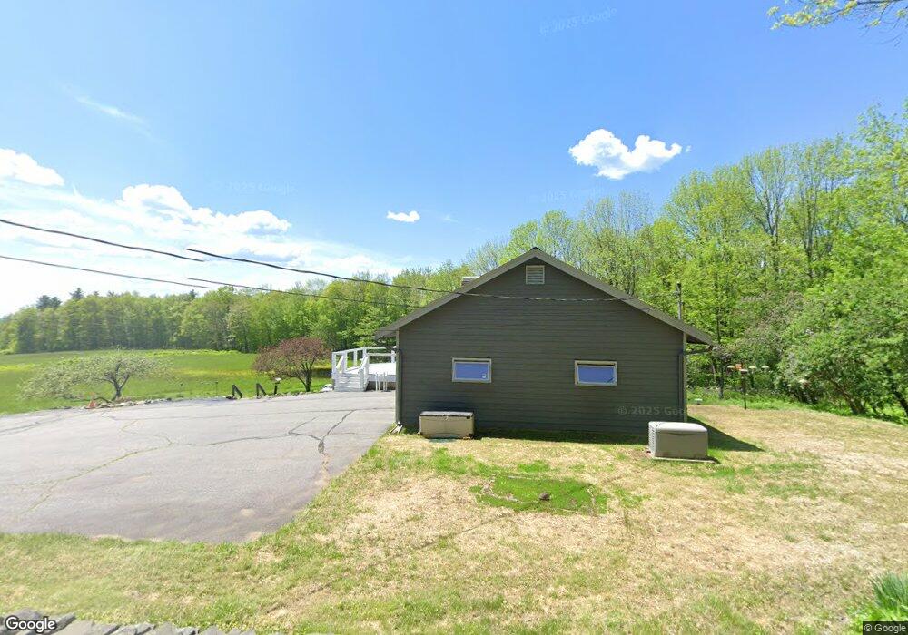
890 West Rd Bowdoin, ME 04287
Estimated Value: $399,513 - $472,000
2
Beds
2
Baths
1,292
Sq Ft
$337/Sq Ft
Est. Value
About This Home
This home is located at 890 West Rd, Bowdoin, ME 04287 and is currently estimated at $435,378, approximately $336 per square foot. 890 West Rd is a home with nearby schools including Mt Ararat High School.
Ownership History
Date
Name
Owned For
Owner Type
Purchase Details
Closed on
Jul 10, 2007
Sold by
Spear Marion W
Bought by
Lacey John and Lacey Kathryn
Current Estimated Value
Home Financials for this Owner
Home Financials are based on the most recent Mortgage that was taken out on this home.
Original Mortgage
$115,823
Outstanding Balance
$71,294
Interest Rate
6.39%
Mortgage Type
Unknown
Estimated Equity
$364,084
Create a Home Valuation Report for This Property
The Home Valuation Report is an in-depth analysis detailing your home's value as well as a comparison with similar homes in the area
Home Values in the Area
Average Home Value in this Area
Purchase History
| Date | Buyer | Sale Price | Title Company |
|---|---|---|---|
| Lacey John | -- | -- |
Source: Public Records
Mortgage History
| Date | Status | Borrower | Loan Amount |
|---|---|---|---|
| Open | Lacey John | $115,823 |
Source: Public Records
Tax History Compared to Growth
Tax History
| Year | Tax Paid | Tax Assessment Tax Assessment Total Assessment is a certain percentage of the fair market value that is determined by local assessors to be the total taxable value of land and additions on the property. | Land | Improvement |
|---|---|---|---|---|
| 2025 | $3,848 | $361,300 | $96,400 | $264,900 |
| 2024 | $3,505 | $361,300 | $96,400 | $264,900 |
| 2023 | $2,892 | $158,900 | $50,200 | $108,700 |
| 2022 | $2,824 | $167,110 | $50,160 | $116,950 |
| 2021 | $2,883 | $173,700 | $50,160 | $123,540 |
| 2020 | $4,346 | $173,700 | $50,160 | $123,540 |
| 2019 | $4,303 | $173,700 | $50,160 | $123,540 |
| 2018 | $2,623 | $173,700 | $50,160 | $123,540 |
| 2017 | $4,688 | $173,700 | $50,160 | $123,540 |
| 2016 | $4,634 | $173,700 | $50,160 | $123,540 |
| 2015 | $2,536 | $173,700 | $50,160 | $123,540 |
| 2014 | $2,414 | $173,700 | $50,160 | $123,540 |
| 2013 | $2,258 | $173,700 | $50,160 | $123,540 |
Source: Public Records
Map
Nearby Homes
- 11 Dustin Dr
- 38 Moore Dr
- 219 Dead River Rd
- 31 Samsons' Way
- 41 Patriot Ln
- 25 Litchfield Rd
- 0 Academy Rd Unit 1502594
- R01L73 & M8l32 Marsh Rd
- 33 Bush Ln
- 5 Santa Ln
- Lot 14 Dead River Rd
- Lot B2 Academy Rd
- Lot B1 Academy Rd
- Lot A2 Academy Rd
- 144 Keay Rd
- 64 Ferrin Rd
- 761 Huntington Hill Rd
- 113 Beaver Rd
- 1-70 Maine 197
- 41 Hidden Pond Rd
- 906 West Rd
- 907 West Rd
- 899 West Rd
- 920 West Rd
- 919 West Rd
- 926 West Rd
- 928 West Rd
- 945 West Rd
- 5 Wood School House Rd
- 0 E Jim Rideout Rd Unit 908744
- 49 Wood School House Rd
- 67 W Jim Rideout Rd
- 0 Wood School House
- 819 West Rd
- 760 West Rd
- 786 West Rd
- 67 Spring Dr
- 53 Spring Dr
- 47 Spring Dr
- 2 Wood School House Rd