8900 Stable Forest Place Bristow, VA 20136
Kingsbrooke NeighborhoodEstimated Value: $482,000 - $523,000
3
Beds
3
Baths
1,828
Sq Ft
$273/Sq Ft
Est. Value
About This Home
This home is located at 8900 Stable Forest Place, Bristow, VA 20136 and is currently estimated at $499,914, approximately $273 per square foot. 8900 Stable Forest Place is a home located in Prince William County with nearby schools including Bristow Run Elementary School, Patriot High School, and Gainesville Middle School.
Ownership History
Date
Name
Owned For
Owner Type
Purchase Details
Closed on
Jun 24, 2005
Sold by
Sloat John S
Bought by
Bagby Derrick
Current Estimated Value
Home Financials for this Owner
Home Financials are based on the most recent Mortgage that was taken out on this home.
Original Mortgage
$260,000
Outstanding Balance
$136,259
Interest Rate
5.82%
Mortgage Type
New Conventional
Estimated Equity
$363,655
Purchase Details
Closed on
Apr 26, 2002
Sold by
White Antoinne L
Bought by
Sloat John S
Home Financials for this Owner
Home Financials are based on the most recent Mortgage that was taken out on this home.
Original Mortgage
$160,000
Interest Rate
7.05%
Mortgage Type
New Conventional
Purchase Details
Closed on
Apr 6, 2001
Sold by
Beazer Homes Corp
Bought by
White Antoinne L and White Brooks,Tiffany
Home Financials for this Owner
Home Financials are based on the most recent Mortgage that was taken out on this home.
Original Mortgage
$144,870
Interest Rate
7.05%
Create a Home Valuation Report for This Property
The Home Valuation Report is an in-depth analysis detailing your home's value as well as a comparison with similar homes in the area
Home Values in the Area
Average Home Value in this Area
Purchase History
| Date | Buyer | Sale Price | Title Company |
|---|---|---|---|
| Bagby Derrick | $325,000 | -- | |
| Sloat John S | $190,000 | -- | |
| White Antoinne L | $146,020 | -- |
Source: Public Records
Mortgage History
| Date | Status | Borrower | Loan Amount |
|---|---|---|---|
| Open | Bagby Derrick | $260,000 | |
| Previous Owner | Sloat John S | $160,000 | |
| Previous Owner | White Antoinne L | $144,870 |
Source: Public Records
Tax History Compared to Growth
Tax History
| Year | Tax Paid | Tax Assessment Tax Assessment Total Assessment is a certain percentage of the fair market value that is determined by local assessors to be the total taxable value of land and additions on the property. | Land | Improvement |
|---|---|---|---|---|
| 2025 | $4,239 | $468,800 | $131,800 | $337,000 |
| 2024 | $4,239 | $426,200 | $119,400 | $306,800 |
| 2023 | $4,193 | $403,000 | $110,500 | $292,500 |
| 2022 | $4,038 | $364,600 | $98,900 | $265,700 |
| 2021 | $3,977 | $324,400 | $82,200 | $242,200 |
| 2020 | $4,765 | $307,400 | $78,500 | $228,900 |
| 2019 | $4,462 | $287,900 | $78,500 | $209,400 |
| 2018 | $3,342 | $276,800 | $75,400 | $201,400 |
| 2017 | $3,382 | $272,600 | $75,400 | $197,200 |
| 2016 | $3,228 | $262,400 | $75,400 | $187,000 |
| 2015 | $2,868 | $259,800 | $75,400 | $184,400 |
| 2014 | $2,868 | $248,100 | $72,100 | $176,000 |
Source: Public Records
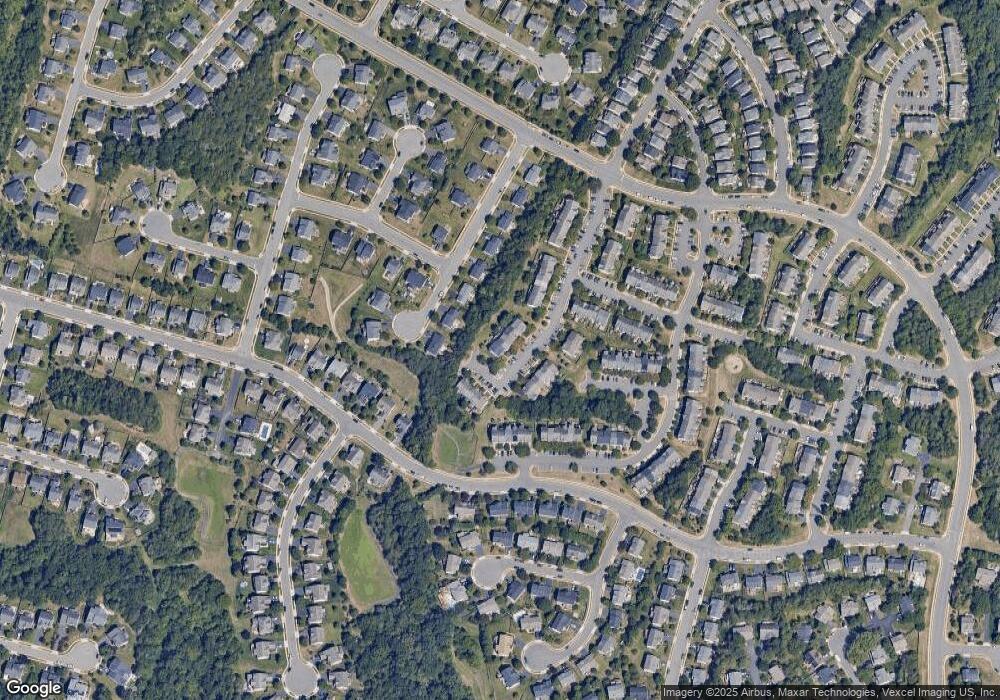
Map
Nearby Homes
- 13714 Jabielle Terrace
- 8800 Fenimore Place
- 8831 Howland Place
- 13836 Tarleton Ct
- 9107 Kearney Place
- 9061 Slate Stone Loop
- 8605 Ellis Ford Place
- 8190 Peggys Ct
- 8006 Rocky Run Rd
- 12027 Paper Birch Ln
- 9478 Merrimont Trace Cir
- 13716 Senea Dr
- 13752 Senea Dr
- 9256 Crestview Ridge Dr
- 9244 Crestview Ridge Dr
- 9475 Sarah Mill Terrace
- 10045 Pentland Hills Way
- 8537 Trade Wind Ct
- 14405 Fowlers Mill Dr
- 8112 Devlin Rd
- 8898 Stable Forest Place
- 8902 Stable Forest Place
- 8896 Stable Forest Place
- 8894 Stable Forest Place
- 8892 Stable Forest Place
- 8890 Stable Forest Place
- 8888 Stable Forest Place
- 8825 Sherando Dr
- 8901 Stable Forest Place
- 8903 Stable Forest Place
- 8899 Stable Forest Place
- 8884 Stable Forest Place
- 8917 Stable Forest Place
- 8919 Stable Forest Place
- 8905 Stable Forest Place
- 8897 Stable Forest Place
- 8915 Stable Forest Place
- 8913 Stable Forest Place
- 8895 Stable Forest Place
- 8911 Stable Forest Place